
Near Overlook Trail
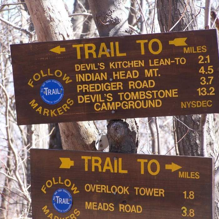
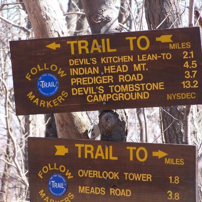
Leaving the Prediger Rd trailhead at the beginning of the Devil's Path.
Near Overlook Trail
Overlook Mountain Trail
Near Overlook Trail
Overlook Mountain Trail
Near Overlook Trail
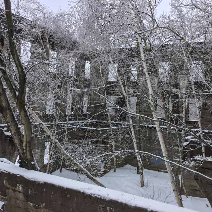
Now only trees are booked in this hotel.
Near Overlook Trail
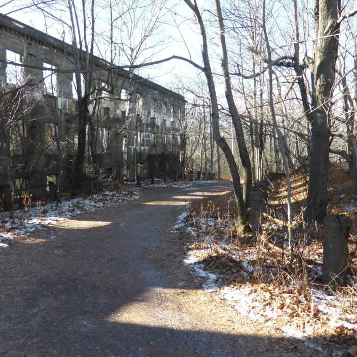
Creepy old mountain house ruins along Overlook Spur Trail (Red)

Looking for more photos?

View All Photos
View Map
Driving Directions
Hike Trail

Overlook Trail

4.3 (6 Ratings)
Mix of technical singletrack & doubletrack.
5.2
mi
Distance
1,192
ft
Gain
strenuous
Difficulty
Views

Route Details

Flatter
Steeper
5.23mi
Distance
1,192ft
Elevation Gain
243ft
Elevation Loss
20%
Max Grade
2,956ft
High Point
2,004ft
Low Point
Path Type
Point to Point
Description
Usually done as an out & back from Prediger Road, but can also be linked with Overlook Mountain Trail if you can set up a shuttle. Commonly people will hike up to the fire tower at the top of Overlook Mountain where there are great views. The trail is about 5.3 miles long and follows the old Overlook Turnpike from Prediger Road to Overlook Mountain and the fire tower.

Route Conditions

Report Conditions
Anonymous Adventurer
Some Issues
Downed Tree
Anonymous Adventurer
Some Issues
Downed Tree
Looking for more condition reports?
View History

Nearby Hike Routes

The Devil's Path

Hike Route

The Devil's Path

Birding
strenuous
21.87 mi
+8,325 ft
Huckleberry Point

Hike Route

Huckleberry Point

Birding
moderate
4.66 mi
+1,234 ft
Easy Escarpment Trail Loop

Hike Route

Easy Escarpment Trail Loop

Birding
moderate
3.74 mi
+611 ft
Kaaterskill High Peak

Hike Route

Kaaterskill High Peak

Birding
strenuous
12.86 mi
+3,690 ft
North Point

Hike Route

North Point

Views
easy
2.16 mi
+783 ft
North Point Mountain via Escarpment + Marys Glen Trails

Hike Route

North Point Mountain via Escarpment + Marys Glen Trails

Lake
moderate
4.88 mi
+977 ft
Contributors
Daniel Frisina
