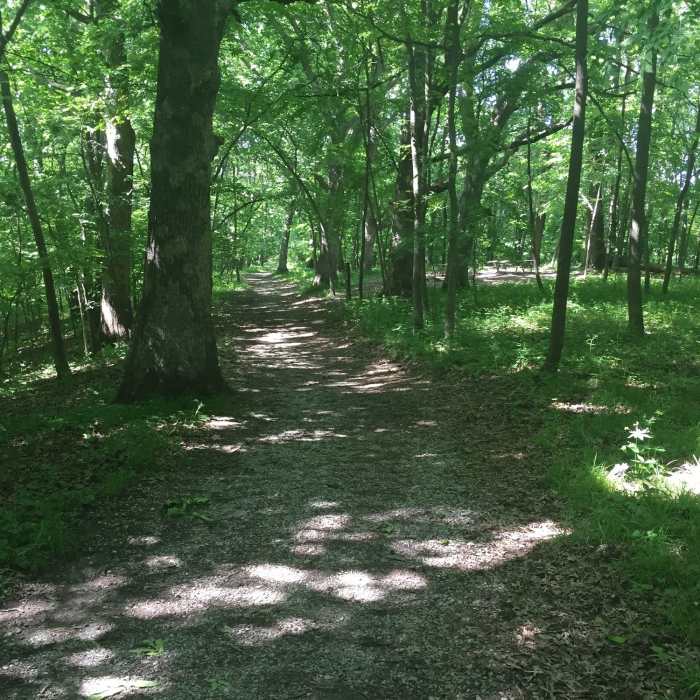
Near Field Campus Trail
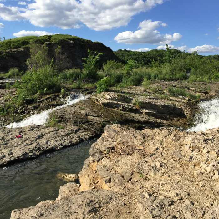
The spillway.
Near Field Campus Trail
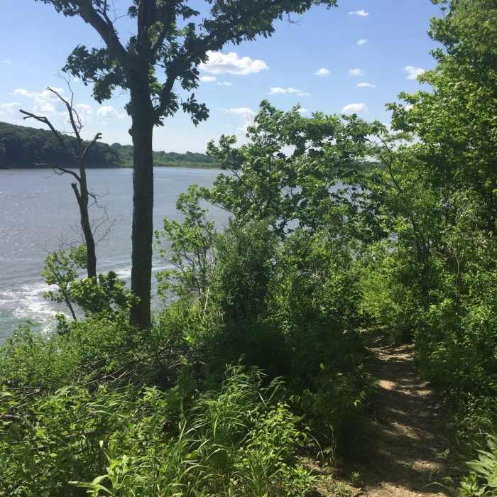
The Coralville Reservoir just beyond the Osprey Trail, looking north.
Near Field Campus Trail
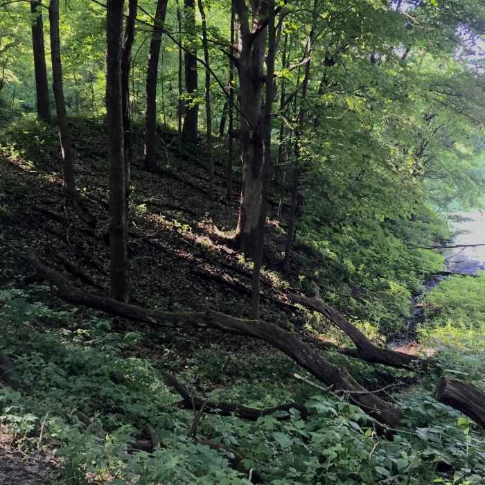
Field Campus Trail along a cove on Lake MacBride.
Near Field Campus Trail
The Osprey Trail and the Coralville Reservoir.
Near Field Campus Trail
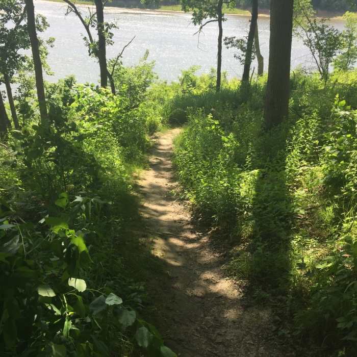
The Wolf Campsite connector trail... you can see a picnic table up ahead to the right.

Looking for more photos?

View All Photos
View Map
Driving Directions
Hike Trail

Field Campus Trail

3.5 (2 Ratings)
A lovely trail following the undulations around the southern shore of Lake MacBride.
2
mi
Distance
251
ft
Gain
moderate
Difficulty
BirdingFall ColorsLakeLakefrontRiver/CreekSpringSwimmingViewsWaterfallWildflowers

Route Details

Flatter
Steeper
1.96mi
Distance
251ft
Elevation Gain
280ft
Elevation Loss
20%
Max Grade
810ft
High Point
718ft
Low Point
Path Type
Point to Point
Description
This is a nice stretch of trail beginning in Lake MacBride State Park, at the end of Angler's Point Rd. (An easy connect from the Angler's Point Trail) and following the southern shore of the lake all the way to the spillway where MacBride pours into the Coralville Reservoir. The path undulates pretty dramatically as it traverses the gulleys and washes along the contours of the lake. It's not mountainous by any means, but for eastern Iowa, this is a pretty hilly route. At the spillway, there are other trails to connect to including the Osprey Trail, that turns back and follows the shore of the reservoir in Lake MacBride Nature Recreation Area, The Wolf Campsite Trail that cuts straight back up the ridge, or you can cross the spillway and do the Beach to Dam Trail, or the North Snowmobile Trail in Lake MacBride State Park.

Route Conditions

Report Conditions
No Condition Reports
Report Conditions

Nearby Hike Routes

McBride Nature Recreation Loop

Hike Route

McBride Nature Recreation Loop

Birding
strenuous
4.47 mi
+542 ft
Solon to MacBride Beach

Hike Route

Solon to MacBride Beach

Birding
moderate
15.45 mi
+778 ft
Palisades Loop

Hike Route

Palisades Loop

Fall Colors
moderate
2.96 mi
+568 ft
Ashton/Clear Creek Natural Surface

Hike Route

Ashton/Clear Creek Natural Surface

Birding
moderate
4.15 mi
+48 ft
Schuetzen Park Wanderweg

Hike Route

Schuetzen Park Wanderweg

Birding
strenuous
0.76 mi
+145 ft
Backbone Lake Loop

Hike Route

Backbone Lake Loop

Birding
moderate
6.36 mi
+675 ft
Contributors
chris kilgore
