Ready to explore this trail?
View Trail Map in AppPath Type
Point to Point
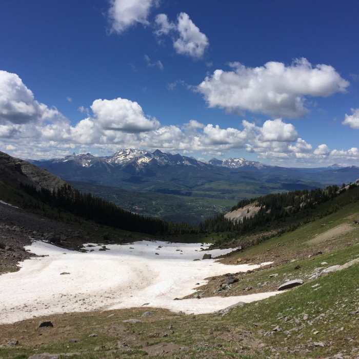
This trail is one of the most challenging and rewarding day hikes in the Telluride area. From the junction with the Jud Wiebe Trail and the Mill Creek Waterline Trail take a right onto the Mt. Sneffles Highline Trail and start your steady climb up to the high country. Be sure to start early to avoid afternoon thunderstorms in the summer.
The trail travels through the Mount Sneffels Wilderness and most of the trail is above treeline. It passes by old cabin ruins, mines, and streams giving you plenty to see and explore along the way. Depending on the time of year, the wildflowers are lovely. At the higher altitudes you may see marmots. In the fall, the views highlighted by the changing aspens are beautiful.
After about 3.5 miles of climbing the trails skirts the base of Mt Emma, and starts an equally steady descent for the next two miles. Around 6 miles, the trail will level out and have some undulating terrain before beginning a final descent back to a junction with the Deep Creek Trail #418.
No Condition Reports
Contributors

