

Ready to explore this trail?
View Trail Map in AppPath Type
Point to Point
The east end of Canyon Creek Trail starts at a small parking area at the end of Canyon Creek Road in Nicholson, BC, just south of Golden, BC on Hwy 95. From the parking area, facing west into the woods, one can hear Canyon Creek to the left and there is a wide path to it--this is NOT the trail. Facing straight ahead there is a wide dirt scar up a very steep hill--this is NOT the trail. Between these two wide paths, close to the wide scar going straight up, on its left is a narrow path--this IS the trail.
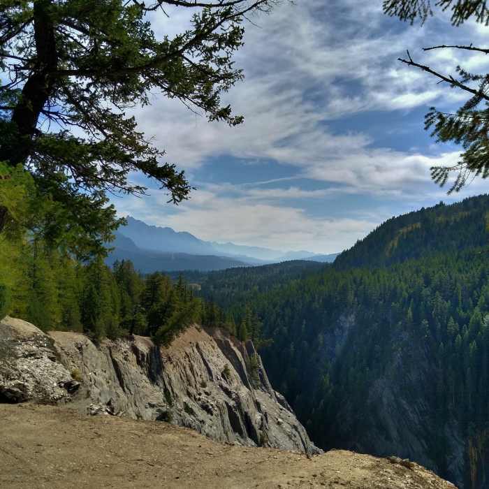
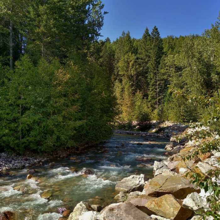
The trail starts by going up VERY steeply. But this is not as bad as it seems. The steep section is short and fixed ropes are there to assist in climbing it. After reaching the top of the steep section, the trail bends right and climbs gradually in the woods. Up here, the trail is on a canyon rim with Canyon Creek on the left (south), far below, at the canyon bottom, for the rest of this hike.
The first of many canyon overlook viewpoints, is reached almost immediately, at the 0.3 mile mark. From here on, the trail continues climbing gradually along the rim's edge, sometimes in the woods, and sometimes right at the edge with open views of the canyon, surrounding mountains, and countryside. A few side trails come in on the right--stay left to continue on Canyon Creek Trail. A small bridged creek, Tallis Creek, is passed at the 0.9 mile mark.
Eventually, at about the 1.8 mile mark, Canyon Creek Trail starts heading south, and after a few turns, it seems to be in the woods for good. But it pops out one last time for open canyon views at about the 2.2 mile mark, and then goes back into the woods permanently.
Continuing on from this last viewpoint, the trail does keep going for another 0.8 miles to where it then ends at a dirt road. But this last stretch is narrow, with nothing much to see. The park map notes that the trail gets progressively more challenging and you may encounter mountain bikers after the last viewpoint. Being narrow and more challenging, for safety reasons, please leave this last stretch for the mountain bikers who diligently maintain this trail system.
No Condition Reports
Emerald Triangle: Emerald Lake Lodge/Yoho Pass/Burgess Pass
Emerald Triangle: Emerald Lake Lodge/Yoho Pass/Burgess Pass
Contributors

