Near Mesquakie Trail
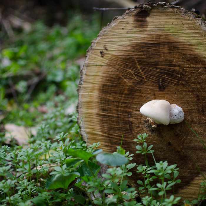
Some of the flora and fungi along the side of the trail in the fall.
Near Mesquakie Trail
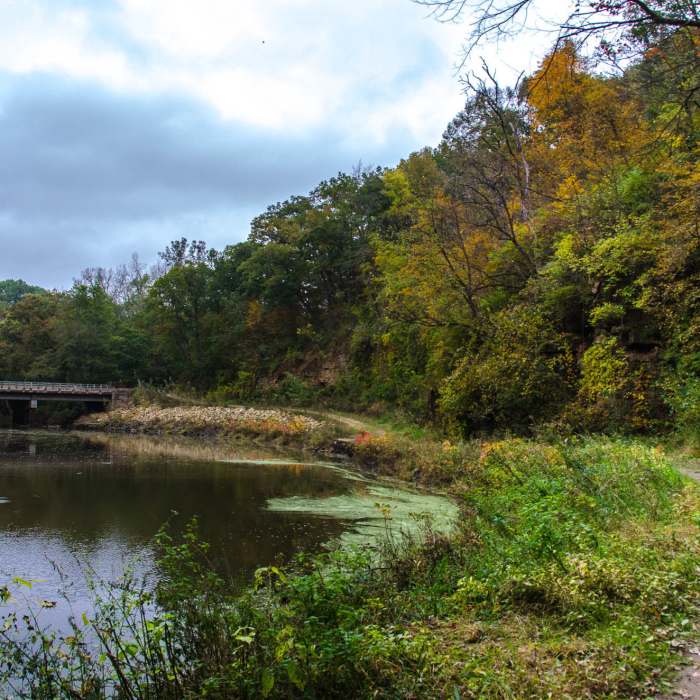
Walking alongside Catfish Creek after joining with the Calcite Trail.
Near Mesquakie Trail
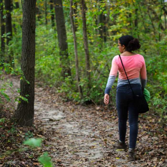
Walking through the bluffs above Catfish Creek.

Looking for more photos?

View All Photos
View Map
Driving Directions
Hike Trail

Mesquakie Trail

3.0 (1 Rating)
A trail down the western bluffs of Mines of Spain State Park with interesting terrain and foliage.
0.9
mi
Distance
60
ft
Gain
moderate
Difficulty
Fall ColorsFamily FriendlyLess CrowdedRiver/Creek

Route Details

Flatter
Steeper
0.91mi
Distance
60ft
Elevation Gain
117ft
Elevation Loss
20%
Max Grade
661ft
High Point
595ft
Low Point
Path Type
Point to Point
Description
From the intersection of the Lead Mine Trail, the Mesquakie Trail runs through the forests of the Mines of Spain bluffs through the Granger Creek valley and along Catfish Creek to meet up with the Calicite Trail. Quiet and forested, this trail is a nice, peaceful connector between the western and eastern sections of the park.

Route Conditions

Report Conditions
No Condition Reports
Report Conditions

Nearby Hike Routes

Backbone Lake Loop

Hike Route

Backbone Lake Loop

Birding
moderate
6.36 mi
+675 ft
Hanging Rock Trail

Hike Route

Hanging Rock Trail

Birding
moderate
6.25 mi
+953 ft
Palisades Loop

Hike Route

Palisades Loop

Fall Colors
moderate
2.96 mi
+568 ft
Solon to MacBride Beach

Hike Route

Solon to MacBride Beach

Birding
moderate
15.45 mi
+778 ft
MMSD Forest Loop

Hike Route

MMSD Forest Loop

Birding
moderate
2.65 mi
+252 ft
Schuetzen Park Wanderweg

Hike Route

Schuetzen Park Wanderweg

Birding
strenuous
0.76 mi
+145 ft
Contributors
Ryan Georgi
