Near Rouge Park Mountain Bike and Hiking Hybrid Trail
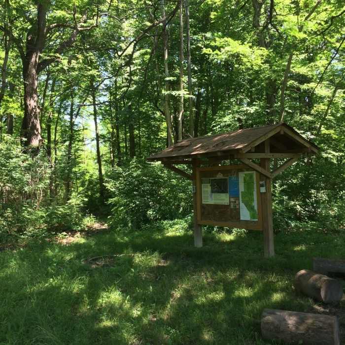
The trailhead for the Mountain Bike and Hiking Trail on the corner of Outer Drive and Tireman Avenue.
Near Rouge Park Mountain Bike and Hiking Hybrid Trail
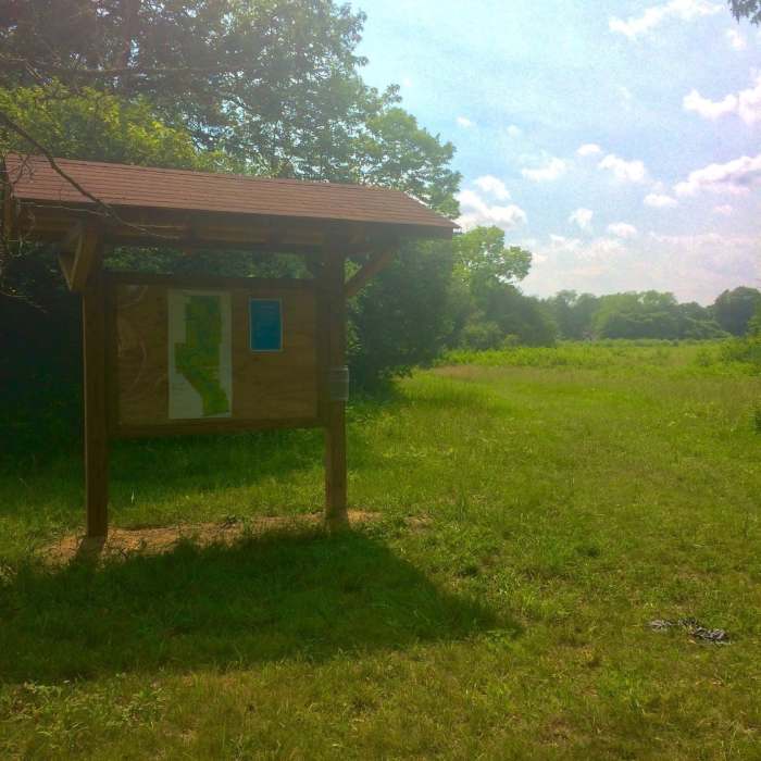
The Prairie Trail and Butterfly Garden trailhead.
Near Rouge Park Mountain Bike and Hiking Hybrid Trail
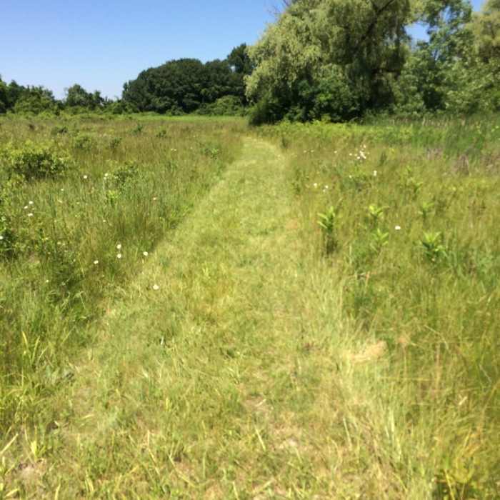
The pathway on the Prairie Trail
Near Rouge Park Mountain Bike and Hiking Hybrid Trail
The beginning of the trail where you can decide which way to go first.
Near Rouge Park Mountain Bike and Hiking Hybrid Trail
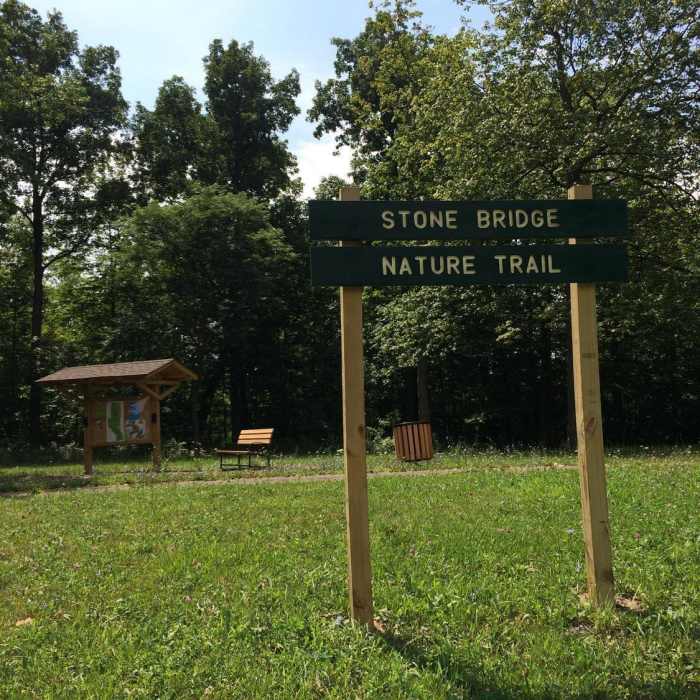
The Trailhead and signage for Stone Bridge Nature Trail as seen from the road. (Tireman Ave.)

Looking for more photos?

View All Photos
View Map
Driving Directions
Hike Trail
Buy Now View in 3D

Rouge Park Mountain Bike and Hiking Hybrid Trail

5.0 (1 Rating)
A singletrack trail that is used for both hiking and mountain biking.
2.2
mi
Distance
51
ft
Gain
moderate
Difficulty
BirdingFall ColorsRiver/CreekSpringViewsWildlife

Route Details

Flatter
Steeper
2.16mi
Distance
51ft
Elevation Gain
51ft
Elevation Loss
30%
Max Grade
621ft
High Point
592ft
Low Point
Path Type
Loop
Description
Rouge Park is the largest park in the city of Detroit, MI. It is home to many miles of hiking and biking trails covering many types of terrain from forests to wetlands to prairies.The Mountain Bike and Hiking Trail shown here is one of three hiking trails that all have trail-heads at the same intersection, making accessing the different trails fairly easy.The Mountain Bike and Hiking Trail is a little over two miles long on the main track with a few other spurs of trail, that are marked by wooden arrows, making the whole trail add up to about three miles. The trail is a singletrack, large enough for one person or one bike to navigate the trail. There are multiple wooden bridges over small streams and wetlands. The trail twists and winds in some areas around large trees and steep terrain. At the far end of the trail by Joy Rd, the trail exits the woods to the road where you must cross the Rouge River to enter the woods again and continue on the trail. Overall, the trail is in fair condition and is clear of any major obstructions. On some portions of the trail, poison ivy has crossed the path. Make sure to wear proper footwear and pants and you can enjoy your time with a beautiful piece of nature.

Route Conditions

Report Conditions
Anonymous Adventurer
All Clear
Anonymous Adventurer
All Clear
Looking for more condition reports?
View History

Nearby Hike Routes

Prairie Pathway

Hike Route

Prairie Pathway

Birding
easy
1.35 mi
+0 ft
Joe Prance Nature Trail and Butterfly Gardens

Hike Route

Joe Prance Nature Trail and Butterfly Gardens

Birding
moderate
0.96 mi
+0 ft
Ford Field Park

Hike Route

Ford Field Park

Birding
moderate
4.92 mi
+0 ft
Maybury State Park

Hike Route

Maybury State Park

Birding
moderate
8.19 mi
+385 ft
Marshall Nature Area and Tom A. Freeman Preserve Loop

Hike Route

Marshall Nature Area and Tom A. Freeman Preserve Loop

Fall Colors
moderate
2.36 mi
+170 ft
Hewen's Creek Park

Hike Route

Hewen's Creek Park

Birding
moderate
3.14 mi
+13 ft
Contributors
Rouge Park
