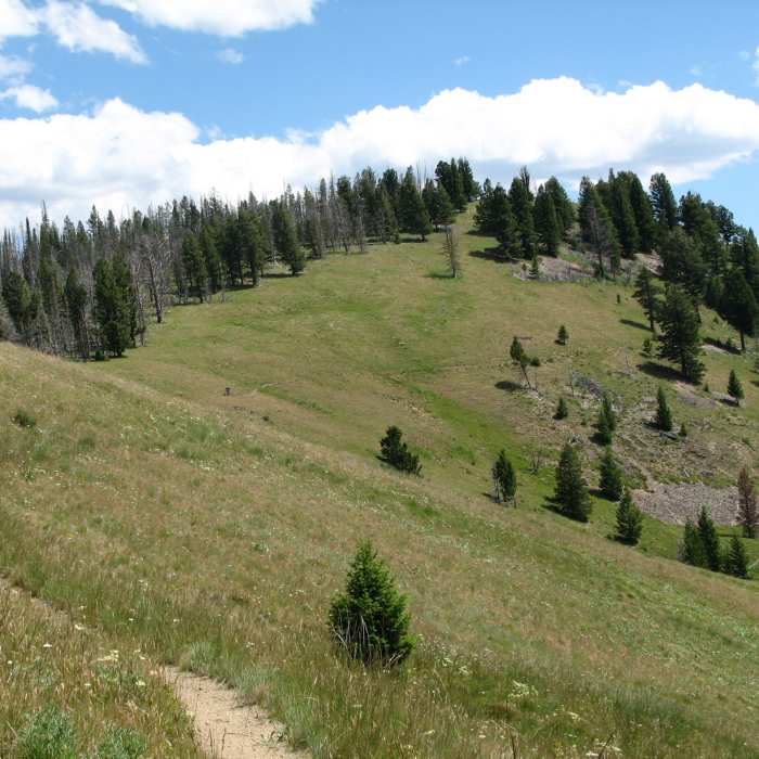
Near Porcupine Creek Trail #205
View from the junction of Porcupine Creek Trail and Warm Springs Ridge.

Looking for more photos?

View All Photos
View Map
Driving Directions
Hike Trail

Porcupine Creek Trail #205

5.0 (1 Rating)
Singletrack over 29 switchbacks!
4.4
mi
Distance
2
ft
Gain
strenuous
Difficulty

Route Details

Flatter
Steeper
4.38mi
Distance
2ft
Elevation Gain
1,990ft
Elevation Loss
45%
Max Grade
7,542ft
High Point
5,552ft
Low Point
Path Type
Point to Point
Description
Porcupine Creek Trail is excellent singletrack along its entire length. This trail can be used to loop Warm Springs Ridge and Warm Springs Creek Trails. The lower section from Warm Springs Creek Trail is gravelly at times and accesses Twogood Cabin. If done west to east, the trail climbs 2000' over 29 switchbacks. A few of the switchbacks are a little washed out, but nothing to worry about, just watch your footing.

Route Conditions

Report Conditions
No Condition Reports
Report Conditions

Nearby Hike Routes

Find more hikes near: Sula, MontanaConner, MontanaDarby, Montana
Continental Divide Trail: Montana-Idaho Section 13

Hike Route

Continental Divide Trail: Montana-Idaho Section 13

strenuous
18.25 mi
+2,370 ft
Continental Divide Trail: Montana-Idaho Section 14

Hike Route

Continental Divide Trail: Montana-Idaho Section 14

Lake
extreme
29.86 mi
+6,369 ft
Boulder Creek Falls

Hike Route

Boulder Creek Falls

Waterfall
easy
1.11 mi
+86 ft
Continental Divide Trail: Montana-Idaho Section 12

Hike Route

Continental Divide Trail: Montana-Idaho Section 12

Waterfall
extreme
16.52 mi
+3,854 ft
Hidden Lake via East Fork Bitterroot Trail

Hike Route

Hidden Lake via East Fork Bitterroot Trail

extreme
22.68 mi
+3,251 ft
Little Rock Creek

Hike Route

Little Rock Creek

Fishing
strenuous
8.34 mi
+2,208 ft
Contributors
David Lingle
