Ready to explore this trail?
View Trail Map in AppPath Type
Point to Point
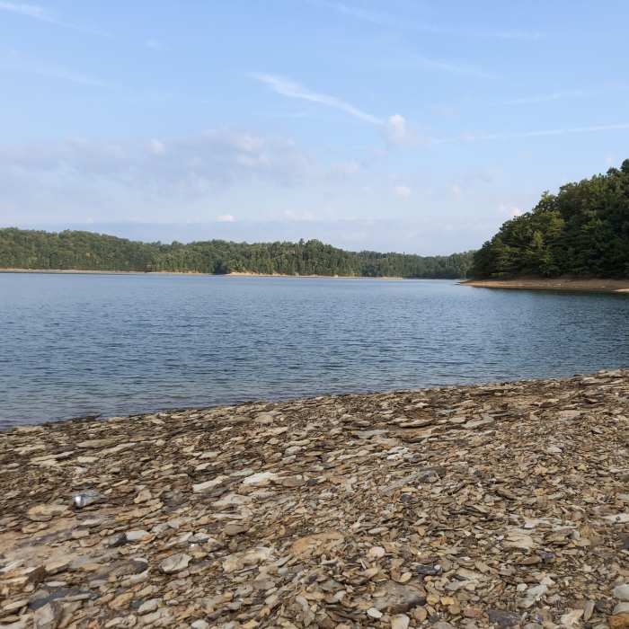
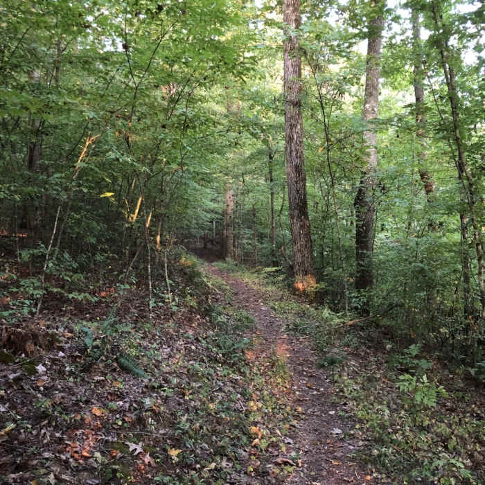
Flatwoods Trail largely follows the shoreline of Laurel Lake around the peninsula containing the Flatwoods Picnic Area and Flatwoods Boat Ramp. The trail is singletrack and well worn, so it is easy to follow. There are several side trails along the way that lead back to the picnic area, if one did not want to hike the full length.
The trail starts in the picnic area. There are several marked parking spots available along the side of the road at the trailhead, and others scattered throughout the picnic area. From the trailhead, the trail heads down the hill, past several picnic tables, to get down close to the lake shore. Once down the hill, the trail mostly stays within 100 feet of the lake shore for its full length, with numerous places that one can access the water to swim or fish.
Since it follows the lake shore, there is little elevation change - most of the trail wanders up and down through the same 100 feet of elevation. The trail does run through the woods, so is mostly shaded. The trail ends in the parking area of the boat ramp. From here, a half mile hike along the road can return you to the other end of the trail, if that is where you left your car. Be aware that the parking around the boat ramp itself is a fee area.
No Condition Reports
Sheltowee Trace NRT - Section 24 Central to Suspension Bridge
Sheltowee Trace NRT - Section 24 Central to Suspension Bridge
Contributors

