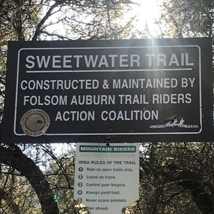
Near Sweetwater Creek Trail
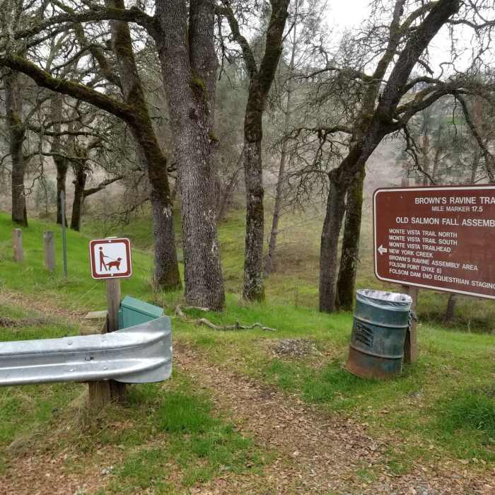
Brown's Ravine Trailhead and sign at the Old Salmon Falls Assembly Area.
Near Sweetwater Creek Trail
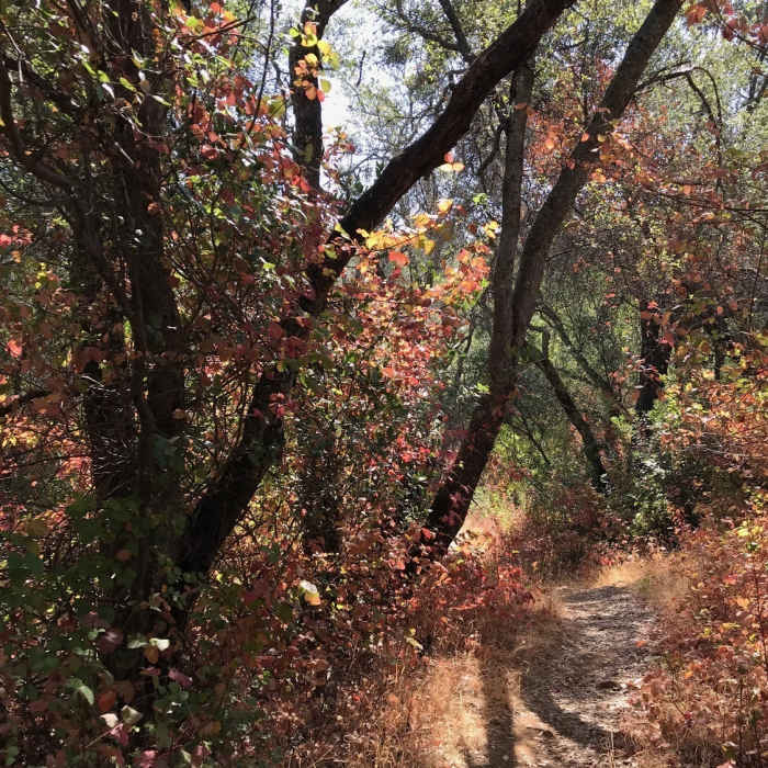
August, late morning, on Sweetwater Creek Trail
Near Sweetwater Creek Trail
Sweetwater

Looking for more photos?

View All Photos
View Map
Driving Directions
Hike Trail

Sweetwater Creek Trail

3.5 (6 Ratings)
A rolling trail along the shore of Folsom Lake.
3.2
mi
Distance
262
ft
Gain
moderate
Difficulty
LakeLakefront
Access Issues
You need a poppy pass or to pay $10 per car to park.

Route Details

Flatter
Steeper
3.18mi
Distance
262ft
Elevation Gain
249ft
Elevation Loss
30%
Max Grade
553ft
High Point
454ft
Low Point
Path Type
Point to Point
Description
This is a moderate trail that is lots of fun. The trail is multi-use, so be sure to watch out for bikers and other hikers. The trail follows along the shore of Lake Folsom connecting between Salmon Falls Trailhead and the Old Salmon Falls Trailhead. The trail has some rolling ups and downs along the way, but nothing too steep or challenging.

Route Conditions

Report Conditions
No Condition Reports
Report Conditions

Nearby Hike Routes

Darrington (Salmon Falls) Trail

Hike Route

Darrington (Salmon Falls) Trail

moderate
7.67 mi
+607 ft
Cronan Ranch Loop

Hike Route

Cronan Ranch Loop

Birding
moderate
6.28 mi
+960 ft
New York Creek Nature Trail

Hike Route

New York Creek Nature Trail

easy
1.51 mi
+126 ft
Mormon Island Trail

Hike Route

Mormon Island Trail

Lake
easy
1.97 mi
+155 ft
Humbug Creek Trail

Hike Route

Humbug Creek Trail

Dogs Allowed
easy
5.68 mi
+68 ft
Auburn Overlook Park Western States-Quarry Trails Loop

Hike Route

Auburn Overlook Park Western States-Quarry Trails Loop

Less Crowded
strenuous
19.84 mi
+3,476 ft
Contributors
Bill Lyon
