Ready to explore this trail?
View Trail Map in AppWyler Aerial Tramway is generally open Friday through Sunday, with additional openings around major holidays. It may be closed on windy days. Tickets for the tram are $8 for adults and $4 for children under 12. It is not necessary to pay for or take the tram to access the trails on Ranger Peak; the peak is also accessible via Thousand Steps Trail and Directissimo.
Path Type
Point to Point
Ranger Peak Loop, which is really only half of the network circumnavigating the Ranger Peak area, begins at the top of Wyler Aerial Tramway. A short stairway descending to the trail can be found just south of where the tram cars dock. Trail users are requested to check in and out at the nearby gift shop.
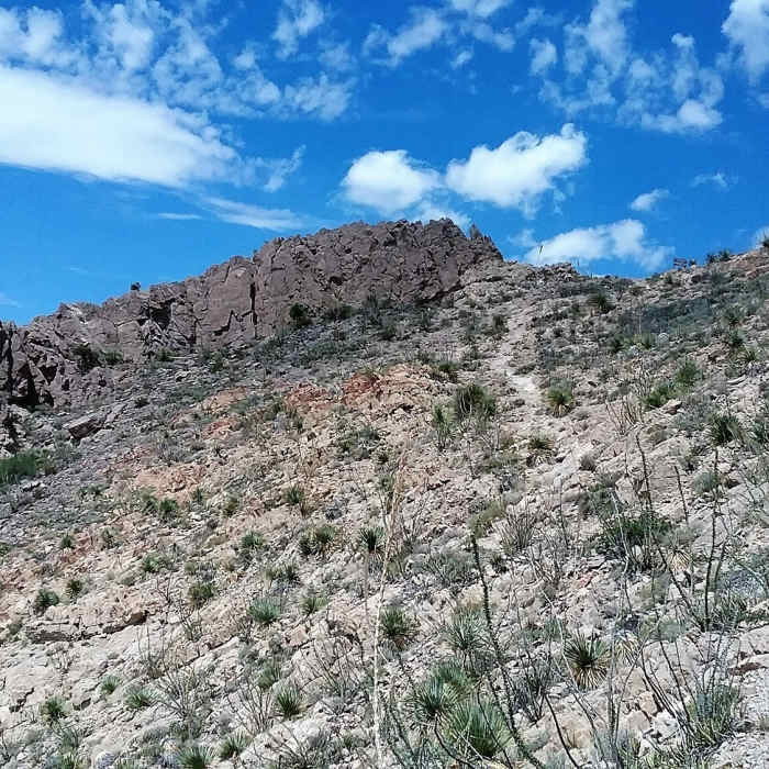
The trail is a rocky, rugged singletrack cut into the mountainside. After passing underneath the tram platform, it makes a quick descent down the rock face. A few chain-assisted segments have been set up here to help with balance; some hikers may find the scramble challenging. Jackaloop Trail splits off to the north at the bottom of this initial descent and, due to the steep climb on Directissimo, is the recommended direction if making the full loop around Ranger Peak.
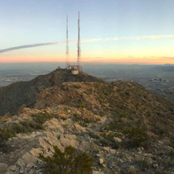
Ranger Peak Loop then begins a clockwise circle around its summit. A short diversion near a rock shelter to the utility poles provides a nice view of eastern El Paso and Ciudad Juarez. The trail then turns west for its flat portion, interrupted by another chain-assisted climb around the third-mile point.
At the trail's southern apex, another nice viewpoint can be found just a few feet off the path to the left. Next to it, a singletrack heads off to the south along the ridgeline. While often taken by area hikers, this is not intended as a public use trail.
If hiking Ranger Peak Loop in the opposite direction, note that the trail appears to split from this area until returning to the tram, so look ahead carefully before proceeding if the path appears uncertain.
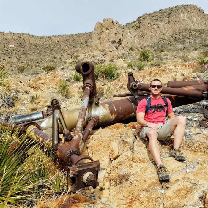
Proceeding northwest, the trail remains relatively flat as it crosses the signed junction with Thousand Steps Trail. It begins another steep climb near the B-36 Crash Site Overlook and its related trail. This tough ascent continues as the path switches up the mountainside to its finish at the top point of Directissimo. A log book and bench mark the summit of Ranger Peak.
Descending Directissimo can be very difficult, so it is recommended that less-experienced hikers return the way they came.
No Condition Reports
Contributors

