Ready to explore this trail?
View Trail Map in AppPath Type
Point to Point
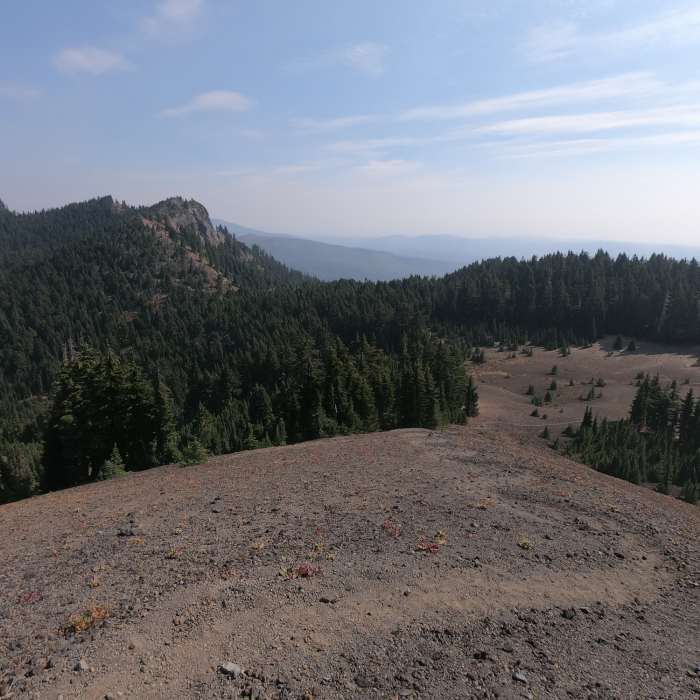
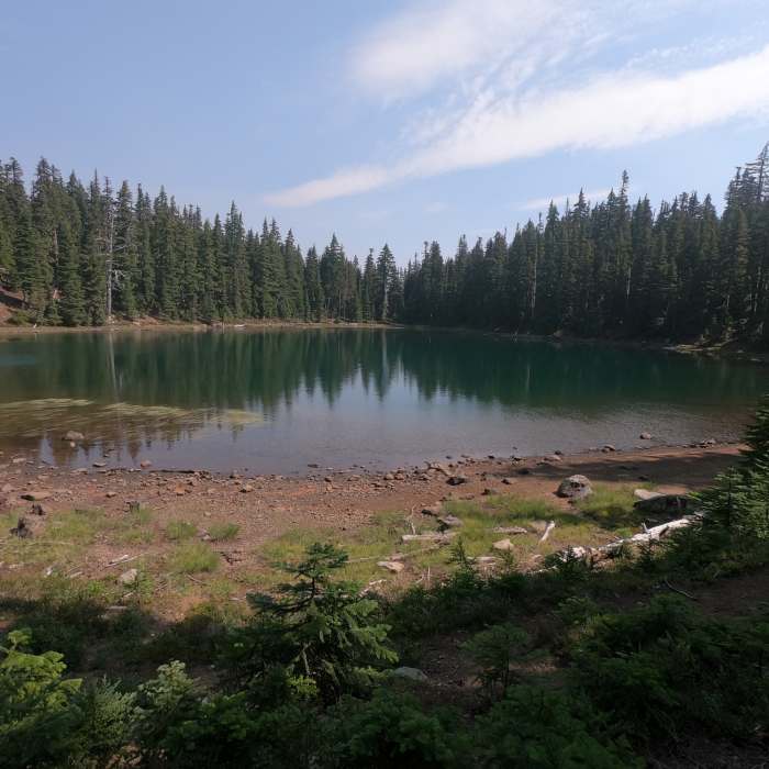
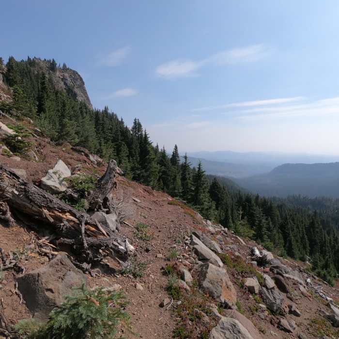
A short trail from Carl Lake to the PCT. The lower half of the trail is through thick forest and the upper section through steep brush-covered slopes. From the junction with the PCT, head approximately 1/4 miles south to find a trail which leads to the summit of South Cinder Peak with 360 degree views of the surrounding area.
No Condition Reports
Contributors

