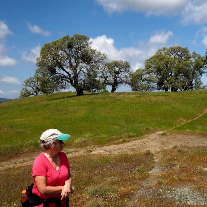
Near Willson Peak Trail
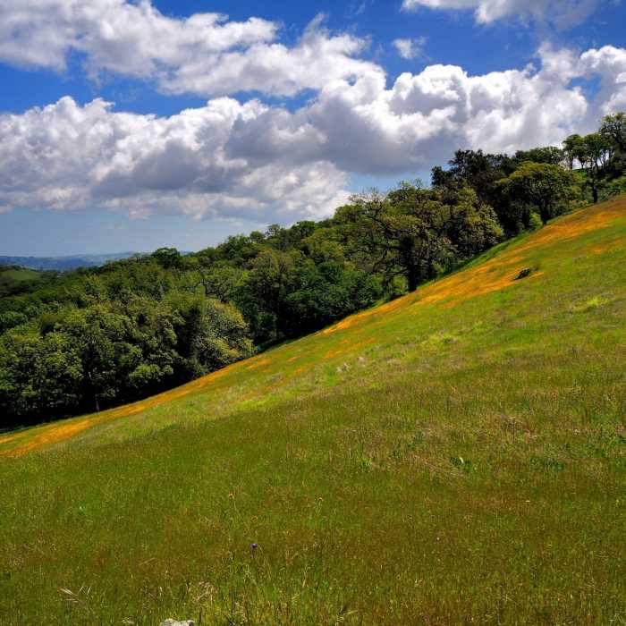
A meadow flush with California poppies
Near Willson Peak Trail
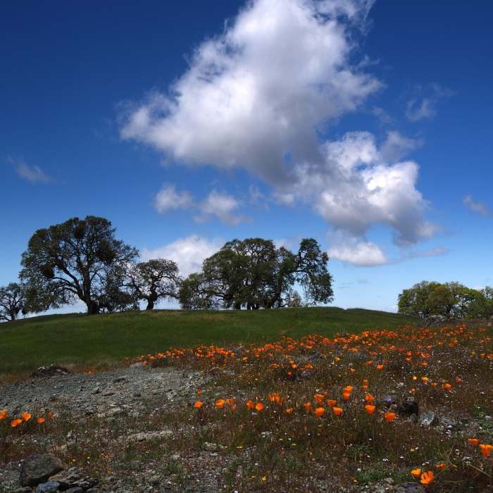
California poppies and the summit of Willson Peak
Near Willson Peak Trail
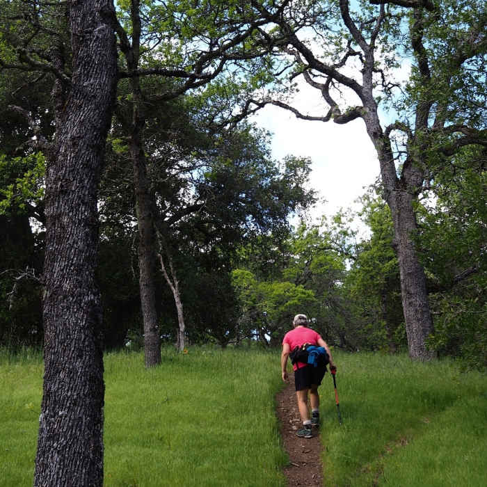
Climbing up the Willson Peak Trail
Near Willson Peak Trail
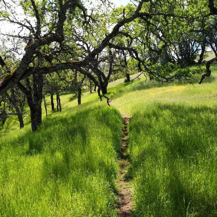
The trail passes through stands of oaks
Near Willson Peak Trail
Willson Peak from Steer Ridge Road

Looking for more photos?

View All Photos
View Map
Driving Directions
Hike Trail

Willson Peak Trail

4.0 (1 Rating)
A shortcut from Grizzly Gulch to the summit of Willson Peak.
1
mi
Distance
773
ft
Gain
moderate
Difficulty
River/CreekSpringViewsWildflowers

Route Details

Flatter
Steeper
1.02mi
Distance
773ft
Elevation Gain
23ft
Elevation Loss
35%
Max Grade
2,647ft
High Point
1,867ft
Low Point
Path Type
Point to Point
Description
This trail leaves the Grizzly Gulch Trail, crosses the creek, and begins an initially steep ascent up the slope toward Willson Peak. As it climbs, the trail passes through stands of oak trees and across large meadows that are filled with wildflowers in the spring. About a half-mile above the creek, the gradient eases considerably. The trail keeps climbing--but with less vigor--until, at a little over a mile from the Grizzly Gulch Trail, you pass the large, rounded summit of Willson Peak and reach the end of the trail at its junction with Steer Ridge Road. The Grizzly Gulch Trail, Willson Peak Trail, Steer Ridge Road, and the Spike Jones Trail can be combined to make a moderate loop through some very beautiful country.

Route Conditions

Report Conditions
No Condition Reports
Report Conditions

Nearby Hike Routes

Henry Coe (Jackson Field, Wasno Ridge, Bowl Trail)

Hike Route

Henry Coe (Jackson Field, Wasno Ridge, Bowl Trail)

Birding
strenuous
15.67 mi
+2,954 ft
Coyote Creek Loop at Coe Park

Hike Route

Coyote Creek Loop at Coe Park

Birding
strenuous
8.23 mi
+1,901 ft
Coyote Lake and Ridge Hike

Hike Route

Coyote Lake and Ridge Hike

Birding
moderate
6.57 mi
+864 ft
Harvey Bear Ranch Hike

Hike Route

Harvey Bear Ranch Hike

Birding
moderate
10.54 mi
+1,534 ft
Mount Sizer via "The Shortcut"

Hike Route

Mount Sizer via "The Shortcut"

Lake
extreme
14.99 mi
+4,188 ft
Middle Ridge Loop

Hike Route

Middle Ridge Loop

River/Creek
moderate
8.19 mi
+1,700 ft
Contributors
BK Hope
