Near Reservoir Ridge Trail
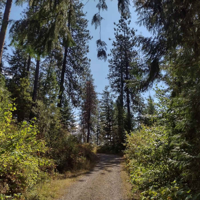
Tall pines along Stormking Parkway.
Near Reservoir Ridge Trail
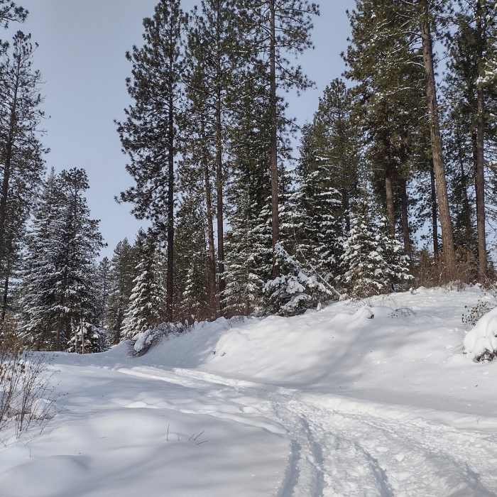
Rathdrum Mountain trails blanketed in fresh snow on a pretty mid January day.
Near Reservoir Ridge Trail
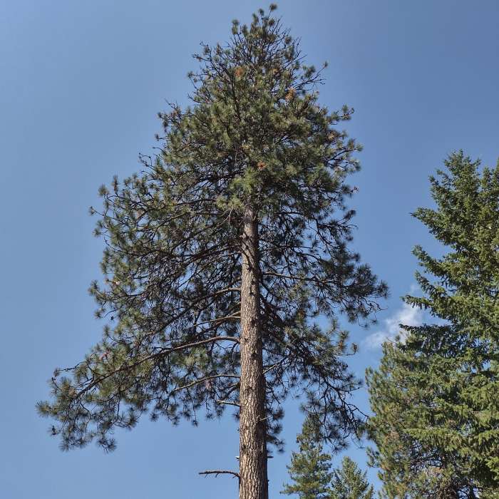
Looking up at a very tall, stately, majestic pine.
Near Reservoir Ridge Trail
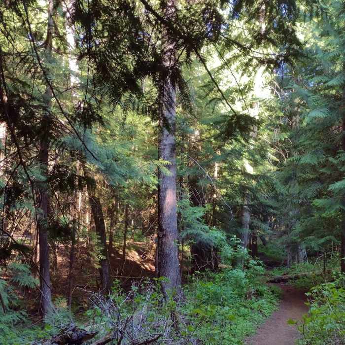
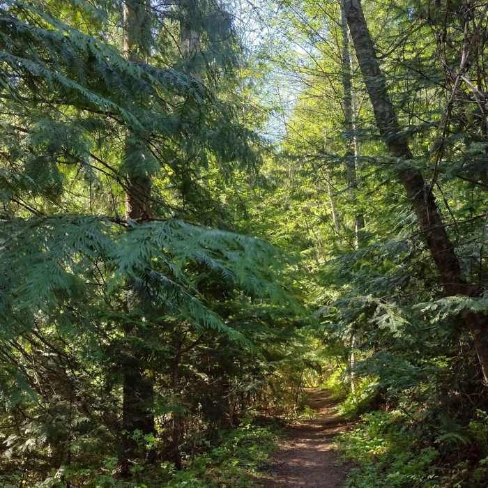
Stately western red cedars dominate the forest along the North Fork of Spring Creek, where Reservoir Ridge Trail runs. The creek can be seen in the dark area on the lower left.
Near Reservoir Ridge Trail
Hiking through the western red cedars, be sure to stop and closely admire their beautiful, intricate needles.

Looking for more photos?

View All Photos
View Map
Driving Directions
Hike Trail
Buy Now View in 3D

Reservoir Ridge Trail

3.0 (1 Rating)
Forested hillside trail just above a creek, huge cedars and other trees.
0.1
mi
Distance
28
ft
Gain
moderate
Difficulty
River/CreekWildlife

Route Details

Flatter
Steeper
0.12mi
Distance
28ft
Elevation Gain
69ft
Elevation Loss
20%
Max Grade
2,623ft
High Point
2,558ft
Low Point
Path Type
Point to Point
Description
Reservoir Ridge Trail is found at the 0.35 mile mark along Majestic Passage. It is marked by a small orange sign. The trail here starts by crossing North Fork of Spring Creek on a sturdy bridge. The trail then veers left to run along the forested hillside just above the creek valley's bottom. Always in the forest, Reservoir Ridge Trail meets East Hawkhaven Trail and ends after just over a tenth of a mile. The place where these two trails join up is unmarked and indistinct. It is also at the edge of the Disc Golf Course with its maze of paths. From here one can explore the creek and Disc Golf Course, both on the left. Alternatively, one can continue straight onto East Hawkhaven Trail that climbs up the hillside to meet Stormking Parkway.

Route Conditions

Report Conditions
No Condition Reports
Report Conditions

Nearby Hike Routes

Find more hikes near: Rathdrum, IdahoHayden, IdahoHauser, Idaho
Canfield Mountain Loop

Hike Route

Canfield Mountain Loop

Cave
moderate
5.46 mi
+1,095 ft
Tubbs Hill Main Trail

Hike Route

Tubbs Hill Main Trail

Family Friendly
moderate
1.95 mi
+271 ft
Antoine's and Canfield summit gulch

Hike Route

Antoine's and Canfield summit gulch

Lake
moderate
9.95 mi
+1,949 ft
Antoine Peak Summit Trail Out & Back

Hike Route

Antoine Peak Summit Trail Out & Back

Birding
moderate
3.53 mi
+731 ft
Highpoint Trail

Hike Route

Highpoint Trail

Lake
strenuous
2.59 mi
+639 ft
Mineral Ridge National Recreation Trail

Hike Route

Mineral Ridge National Recreation Trail

Lake
easy
2.45 mi
+698 ft
Contributors
Joan Pendleton
