Ready to explore this trail?
View Trail Map in AppThe Paradox Trail lies entirely on BLM and Forest Service Public Lands. Fire restrictions apply when in effect. Trail may not be marked in all areas so use of a map and the Mobile App is strongly recommended. Treat all water in drainages before use and leave gates the way your find them.
Path Type
Point to Point
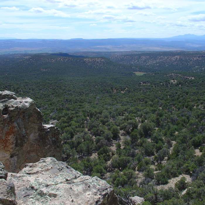
Established in 1995, the Paradox Trail was a collaborative effort between COPMOBA, Montrose West Recreation, the BLM and USFS. The terrain of Western Montrose County is laced with massive cliffs, deep drainages and dry arroyos plus views of the La Sal Mountains to the west and the San Juans to the southeast.
Years of mineral exploration and ranching have created hundreds of miles of roads and trails on one the largest tracts of publicly controlled lands in Colorado. There are five large tracts in the region which are administered as Wilderness. The Paradox Trail uses many of those old lost roads to traverse the entire length of Western Montrose County in a not so straight 118 mile long course.
Connecting the Tabeguache Trail on the Uncompahghre Plateau at 9,900 feet, the Paradox creates the southern leg of the Grand Loop (GL) as it joins with the Kokopelli Trail in the La Sal Mountains at over 8,000 feet elevation. The trail is marked with brown carsonite posts bearing the Paradox Trail sign at key intersections and regularly along the route.
Hiking the entire length of the Paradox Trail is challenging and takes some planning. There are many access points for sag vehicles and many great places to camp, most with water. Undeveloped camp sites exist on Pinto Mesa, Tabeguache Creek, Mesa Creek, Dolores River and a USFS camp at Buckeye Reservoir. The small town of Nucla is the only supply source on the trail where you can get food. Carry a map, GPS, the Mobile App and plenty of water in this high desert environment.
This is wilderness hiking, and hikers need to be personally responsible. Bear and elk sightings are not uncommon and the sound of coyotes is never far. Mountain lions are also common here, so use extra caution on the trail. Wear blaze orange during rifle season.
No Condition Reports
Contributors

