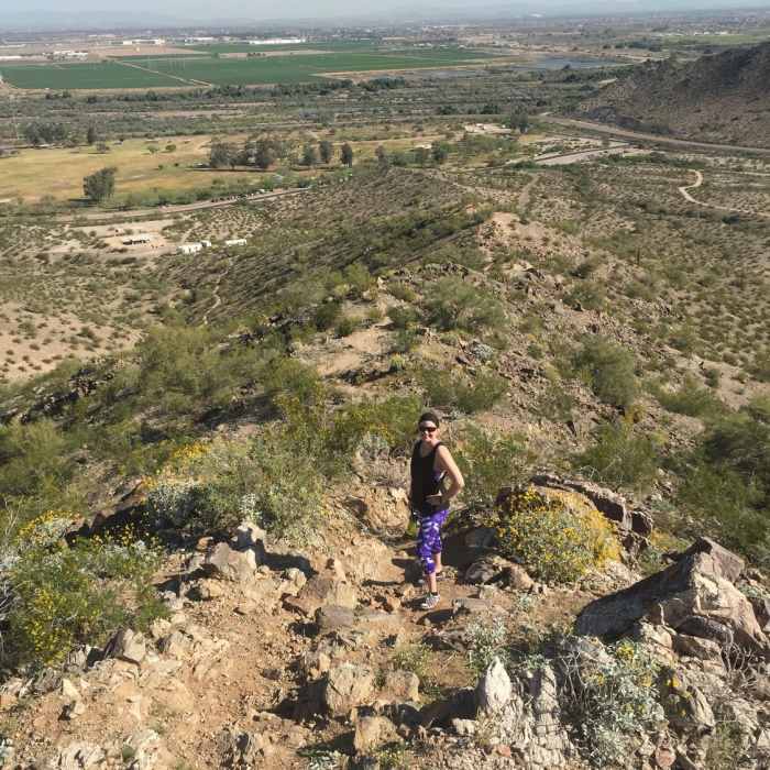
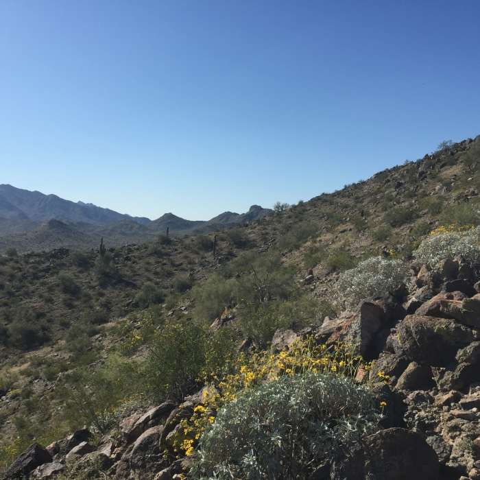
Near Baseline Trail
Hiking the ridge line of the Estrella Mountains.
Near Baseline Trail
Hiking up the Estrella Mountains.

Looking for more photos?

View All Photos
View Map
Driving Directions
Hike Trail

Baseline Trail

4.0 (4 Ratings)
A route leading up to the mountain tops of the Estrellas with great views of the Phoenix area.
1.7
mi
Distance
224
ft
Gain
moderate
Difficulty
Views
Access Issues
Do be aware that there is a park fee to enter.

Route Details

Flatter
Steeper
1.71mi
Distance
224ft
Elevation Gain
216ft
Elevation Loss
35%
Max Grade
1,147ft
High Point
985ft
Low Point
Path Type
Loop
Description
Driving into the park you'll see a campground area with a parking lot. Park there and then look across the street to find the Baseline trailhead. Follow the Baseline Spur to access the main loop. There's also a side loop (Baseline Viewpoint Loop) if you'd like to tack on some extra milage and check out the view. If not, follow Baseline Spur all the way to Baseline Trail. Follow the trail to the peaks and then follow the ridge of the mountains left and then head back down. The trail is pretty well marked, so finding your way should be easy. Once you complete the loop, head back down Baseline Spur to get back to the trailhead.

Route Conditions

Report Conditions
No Condition Reports
Report Conditions

Nearby Hike Routes

Granite Mountain Loop

Hike Route

Granite Mountain Loop

Views
easy
4.79 mi
+340 ft
Scar Mountain

Hike Route

Scar Mountain

Less Crowded
moderate
5.71 mi
+951 ft
Turnbuckle Trail

Hike Route

Turnbuckle Trail

Views
moderate
4.34 mi
+976 ft
Skyline Circumference Trail

Hike Route

Skyline Circumference Trail

Views
moderate
10.19 mi
+2,132 ft
Mule Deer Trail

Hike Route

Mule Deer Trail

Family Friendly
moderate
3.35 mi
+211 ft
Goldwater Peak

Hike Route

Goldwater Peak

Views
extreme
12.98 mi
+3,006 ft
Contributors
Jocelyn Nelson
