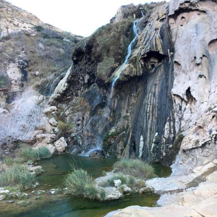
Near Sitting Bull Falls Trail (T.68)
Sitting Bull Falls

Looking for more photos?

View All Photos
View Map
Driving Directions
Hike Trail

Sitting Bull Falls Trail (T.68)

4.0 (2 Ratings)
A connector trail from Sitting Bull Falls to Queen Hwy.
3.3
mi
Distance
1,075
ft
Gain
moderate
Difficulty
River/CreekWildlife

Route Details

Flatter
Steeper
3.35mi
Distance
1,075ft
Elevation Gain
29ft
Elevation Loss
40%
Max Grade
5,732ft
High Point
4,682ft
Low Point
Path Type
Point to Point
Description
T.68 continues up the canyon threading through picturesque semi-desert terrain and vegetation including prickly pear, cholla, juniper, algerita, and cottonwood. The path is occasionally vague and generally stays away from the thick vegetation paralleling Sitting Bull Creek. Be prepared to do some wading and/or rock hopping since the trail fords the creek three times, and some wet areas spread to 30 feet wide.

Route Conditions

Report Conditions
No Condition Reports
Report Conditions

Nearby Hike Routes

Sitting Bull Falls Loop Trail

Hike Route

Sitting Bull Falls Loop Trail

Cave
strenuous
9.66 mi
+1,870 ft
Rattlesnake Canyon Loop

Hike Route

Rattlesnake Canyon Loop

Commonly Backpacked
strenuous
5.97 mi
+699 ft
Chihuahuan Desert Nature Trail

Hike Route

Chihuahuan Desert Nature Trail

Family Friendly
easy
0.79 mi
+72 ft
The Notch Out-and-Back

Hike Route

The Notch Out-and-Back

Views
moderate
9.66 mi
+1,298 ft
McKittrick Canyon: Lower Section to the Grotto and Pratt Lodge

Hike Route

McKittrick Canyon: Lower Section to the Grotto and Pratt Lodge

Views
easy
3.55 mi
+374 ft
Manzanita - Smith Spring Loop

Hike Route

Manzanita - Smith Spring Loop

Birding
moderate
2.45 mi
+390 ft
Contributors
Jason Wheat
