Ready to explore this trail?
View Trail Map in AppPath Type
Point to Point
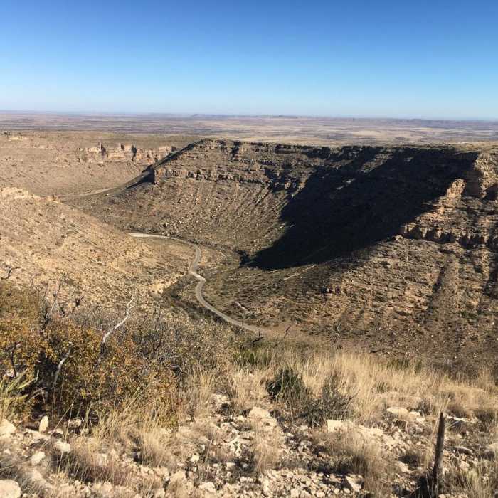
A short spur to an overlook of the canyon. This trail is relatively flat and maintained but has lots of small rocks. It is an enjoyable trail that is not too difficult. From Junction E, T215 crosses a broad mesa marked, at one time, by ribbons. The trail becomes poorly defined. The route ends on the edge of the mesa above the picnic area at Sitting Bull Falls Recreation Site. From here, the upper end of FR276 and the parking lot are also visible. For excellent vistas, this is the highest, most easily accessible point on the mesa. Views stretch across the horizon, 40 miles distant, in an arc beginning near the water tower in Artesia and sweeping clockwise at least 100 degrees.
ACCESS: There are three ways to reach the trailhead for T215 (Junction E):
1. From the parking area outside Sitting Bull Falls Recreation Site, Junction G, follow T226 for 0.6 miles to Junction A, T68 for 0.6 miles to Junction B, and T217 for 1.0 miles to Junction E;
2. Beginning at Junction G, follow T226 for 2.2 miles to Junction F, and T217 for 2.8 miles to Junction E;
3. Begin at the junction of US285 and NM137, follow NM137 for 32 miles to milepost 22. Then look for a turnoff on the north side of the road to Guadalupe Ranger District Administrative Site and the public water hydrant. Continue on NM137 another 2.3 miles to FR525 on the right. Follow (rough) FR525for 5.7 miles to the T215 trailhead (Junction E).
No Condition Reports
McKittrick Canyon: Lower Section to the Grotto and Pratt Lodge
McKittrick Canyon: Lower Section to the Grotto and Pratt Lodge
Contributors

