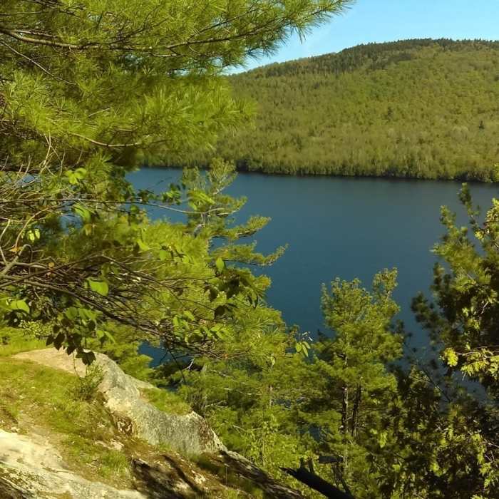
Near Silver Lake Bog Trail
View from the top

Looking for more photos?

View All Photos
Driving Directions
Hike Trail

Silver Lake Bog Trail

5.0 (1 Rating)
A trail with amazing views of Silver Lake from the top!
1.1
mi
Distance
244
ft
Gain
easy
Difficulty
BirdingFall ColorsFamily FriendlyLakeViewsWildflowersWildlife
Access Issues
Stay on the trail. RXH through mud and puddles instead of going around them to protect the surrounding wildlife.

Route Details

Flatter
Steeper
1.09mi
Distance
244ft
Elevation Gain
83ft
Elevation Loss
35%
Max Grade
1,694ft
High Point
1,484ft
Low Point
Path Type
Point to Point
Description
The trail begins off of Hawkeye Rd and is very well-marked. There is a small parking area and sign-in podium. The first section of trail is a well-kept boardwalk with benches and is handicap accessible. At the end of the boardwalk, note the obvious change from bog to forest. Another half mile up, the trail makes a sharp left turn. The trail is very clearly marked by NY DEC trail markers. There is a steeper incline as you near the end of the trail, but it is still easy to navigate. At the top, there is a nice picnic spot, followed by a large rock ledge that affords an incredible view of Silver Lake!

Route Conditions

Report Conditions
No Condition Reports
Report Conditions

Nearby Hike Routes

Catamount Mountain Trail

Hike Route

Catamount Mountain Trail

Fall Colors
strenuous
3.85 mi
+1,594 ft
Stag Brook Trail

Hike Route

Stag Brook Trail

Views
easy
1 mi
+407 ft
Wilmington Notch Falls

Hike Route

Wilmington Notch Falls

Views
easy
1.91 mi
+485 ft
Copperas Pond Trail

Hike Route

Copperas Pond Trail

Lake
easy
1.8 mi
+420 ft
Whiteface Landing

Hike Route

Whiteface Landing

Lake
easy
2.43 mi
+267 ft
Moose and McKenzie Mountain

Hike Route

Moose and McKenzie Mountain

strenuous
8.3 mi
+3,156 ft
Contributors
Jessica DuBrey
