Near Frenchman Creek #1457
Excellent views of Princeton, Yale, and Bear Lake from Harvard's summit. Much of the trail is visible in the lower left
Near Frenchman Creek #1457
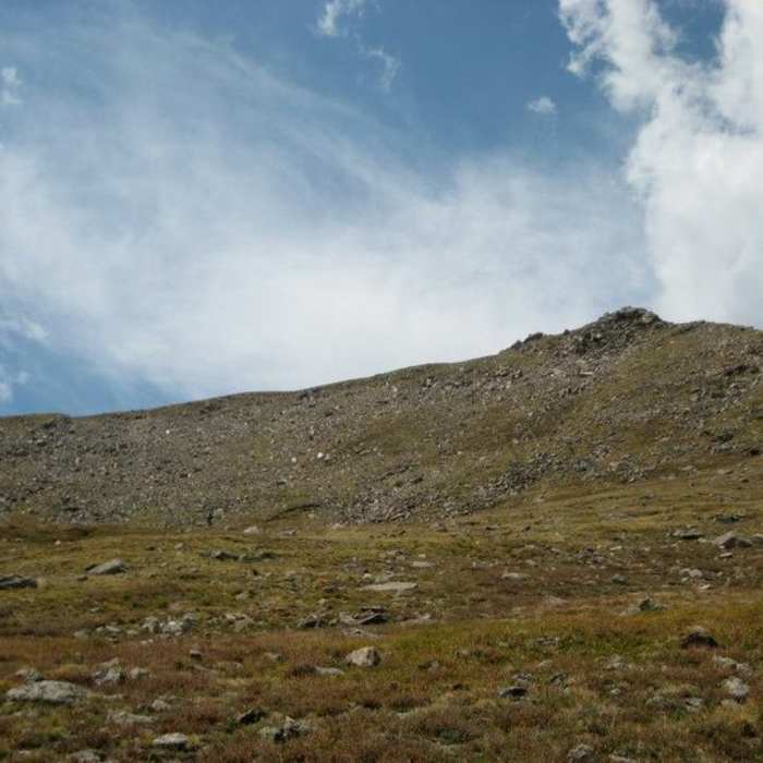
Coming off the traverse, from rocks back to grass on Frenchman Creek Trail
Near Frenchman Creek #1457
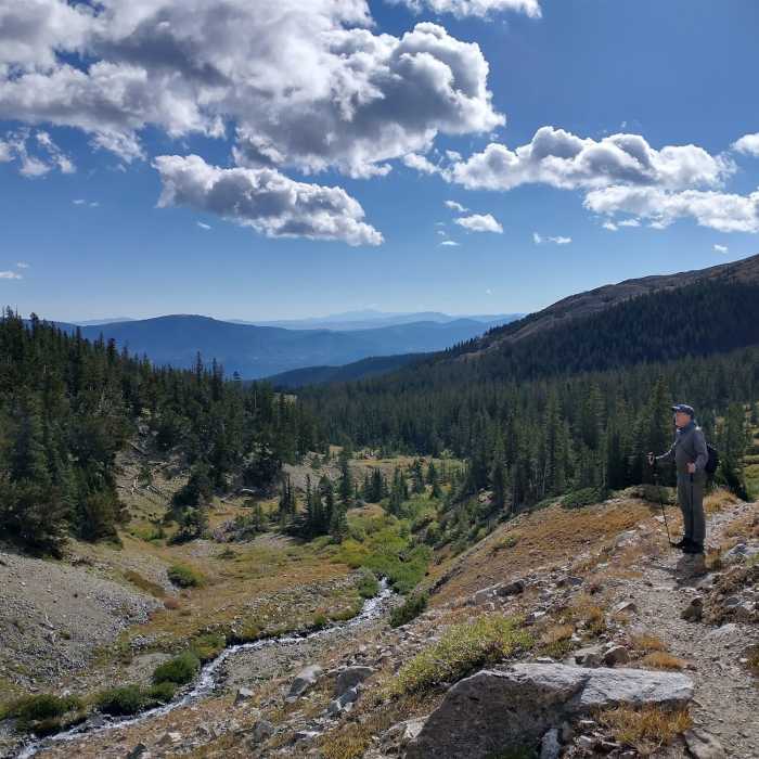
Frenchman's Creek approach toward Mt Harvard
Near Frenchman Creek #1457
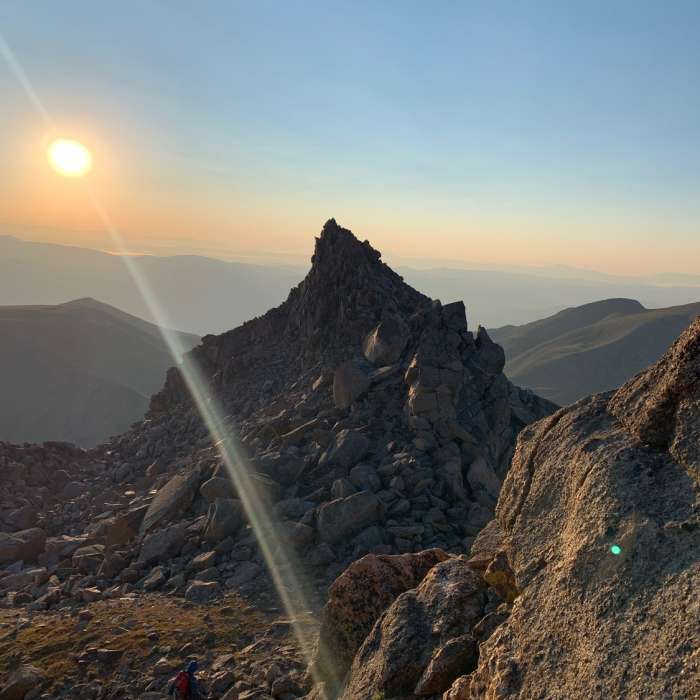
Looking east on the Harvard to Columbia traverse.
Near Frenchman Creek #1457
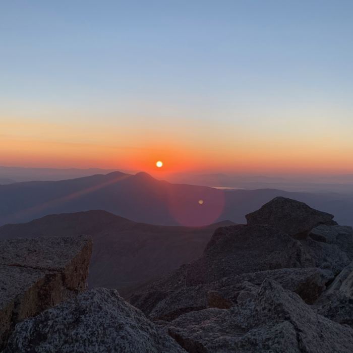
Sunrise from Mt. Harvard summit.

Looking for more photos?

View All Photos
View Map
Driving Directions
Hike Trail

Frenchman Creek #1457

4.0 (3 Ratings)
An easier alternative to Mt. Harvard's standard route.
6.8
mi
Distance
4,739
ft
Gain
strenuous
Difficulty
River/CreekViewsWildflowersWildlife
Access Issues
During the winter and often into late spring, the Frenchman Creek Trailhead is generally closed as low as 8,000 ft. The land manager requests all dogs be leashed, although the few dogs you do see will most likely be roaming somewhere near their owners.

Route Details

Flatter
Steeper
6.76mi
Distance
4,739ft
Elevation Gain
204ft
Elevation Loss
45%
Max Grade
14,407ft
High Point
9,872ft
Low Point
Path Type
Point to Point
Description
From Frenchman Creek trailhead, make your way up a clear trail through dense forest. Grades are low and there are few roots or rocks. Pass two "no motor vehicle" signs. Take note of the second: there is a fork here. Continue up, but on the way down, stay on the smaller trail (from which you came). Continue along the trail, crossing Frenchman Creek at tree line in another 10-15 minutes. At this point you are in a wide basin, with Mt. Columbia to your left and Mt. Harvard on the right. To summit the latter, continue through the basin on sometimes vague trail. Come to a grassy ridge, with the Harvard and Columbia traverse to your left. Stay right, hooking up with the Harvard and Columbia route to attain the summit of the former. Head up and to the right on grassy slopes. The trail here isn't clear, but the summit is, so just walk toward it. Once at 13,800 ft, the ridge narrows and the trail becomes clearer. Scramble along some class 2+ rock formations (class 3 if you get bored) to attain the summit. Take note, Mt. Harvard boasts an elevation of 14,420 ft, so it's a long way up.

Route Conditions

Report Conditions
No Condition Reports
Report Conditions

Nearby Hike Routes

Colorado Trail: Segment 13

Hike Route

Colorado Trail: Segment 13

Views
extreme
22.69 mi
+4,657 ft
Kroenke Lake

Classic Hike Route

Kroenke Lake

Commonly Backpacked
moderate
8.26 mi
+1,643 ft
Harvard and Columbia

Hike Route

Harvard and Columbia

River/Creek
strenuous
14.63 mi
+5,885 ft
Colorado Trail: Segment 12

Hike Route

Colorado Trail: Segment 12

Views
extreme
19.09 mi
+5,639 ft
Arkansas River Trail Hike

Hike Route

Arkansas River Trail Hike

Views
easy
1.92 mi
+41 ft
Midland Hill Out-and-Back

Classic Hike Route

Midland Hill Out-and-Back

Birding
moderate
4.8 mi
+1,681 ft
Contributors
Tyler Prince
