Ready to explore this trail?
View Trail Map in AppPath Type
Point to Point
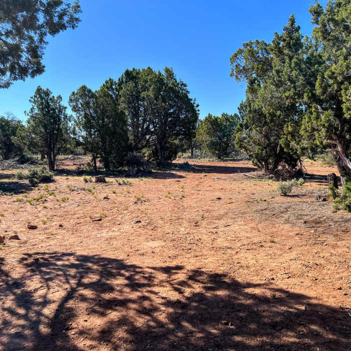
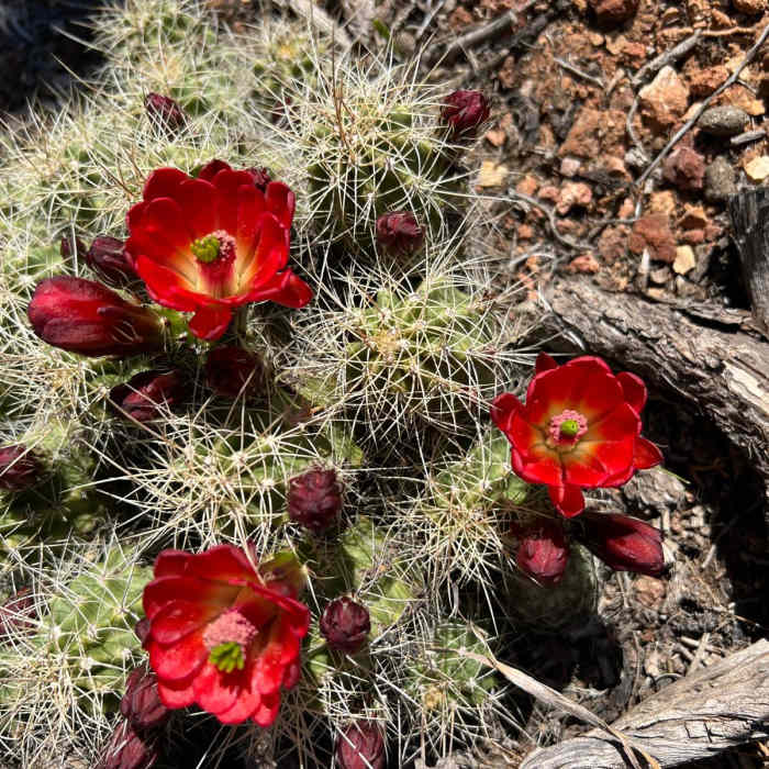
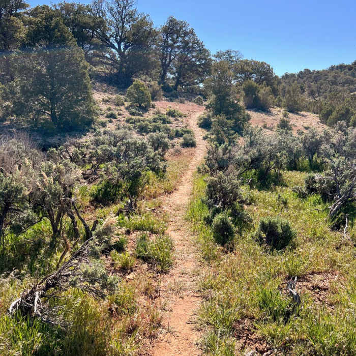
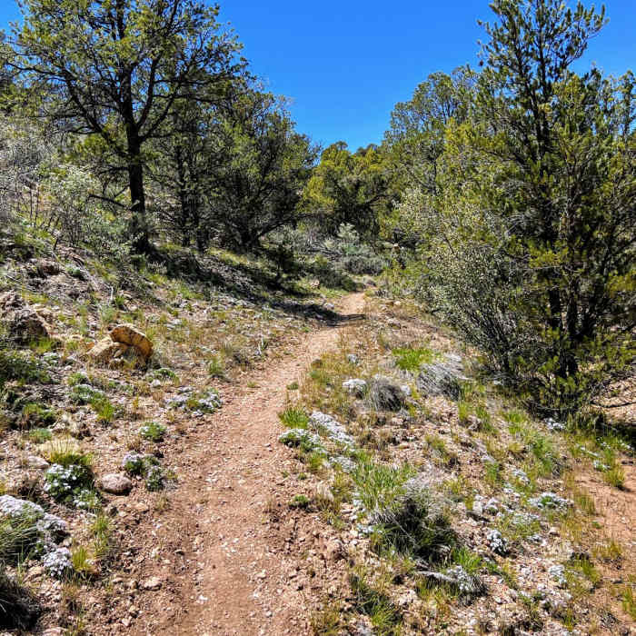
AZT Passage 43: Buckskin Mountain is a 10.4-mile point-to-point section of the roughly 800-mile Arizona National Scenic Trail (AZT). This section is located south of Stateline Campground at the Arizona/Utah border and runs from the Winter Road Trailhead to the Stateline Trailhead. Following a mostly downhill grade, this section is rated as easy and is accessible for hikers, trail runners, long-distance backpackers, equestrians and mountain bikers. Passage 43 is the final passage of the AZT. Located along the eastern flank of Buckskin Mountain, this spectacular final section returns to the high-desert ecosystem of small cacti, colorful shrubs, and scraggly pinon and juniper trees. This short passage follows a singletrack trail and features sweeping views of Utah to the north, and the colorful Vermilion Cliffs to the east. Along this passage the trail rolls in and out of washes, crosses dirt roads, and descends to a gentle valley. It rises and falls through North Larkum Canyon and ascends to a scenic ridge with outstanding views of Utah to the northeast. Here, you will see craggy pink peaks, unique rock formations, and the psychedelic swirling sandstone of the Vermillion Cliffs. The last two miles of this passage offer a stunningly dramatic conclusion. The trail descends through switchbacks along a grassy hillside with panoramic views and vibrant wildflowers in bloom in the spring.After descending the switchbacks, the trail continues northeast over a sagebrush-covered valley to a low, rocky ridge. On the other side of this ridge, the trail descends to the Arizona/Utah border at the Stateline Trailhead and Campground.Thru-hikers may head over to the northern terminus to snap their finishing photo and celebrate the completion of an epic journey! Although the Utah border marks the official end of the Arizona National Scenic Trail (AZT), the journey can still go on. If you find yourself enticed by the colorful canyons ahead of you, let this mark the start of the next adventure further north!DIRECTIONSFollow Arizona National Scenic Trail signs/trail markers.WATERCheck the Arizona Trail Water Report for current information at: https://aztrail.org/explore/water-sources/.ADDITIONAL INFORMATION INFORMATIONArizona National Scenic Trail Association: www.aztrail.orgVermillion Cliffs National Monument, http://www.blm.gov/az/vermilion/vermilion.htm, 1-(435) 688-3240.Kaibab Plateau Visitor Center, http://www.fs.fed.us/r3/kai/visit/visit.html, 1-(928) 643-7298.BLM Information Center (602) 417-9300.
No Condition Reports
Contributors

