Near Knobcone Point Road
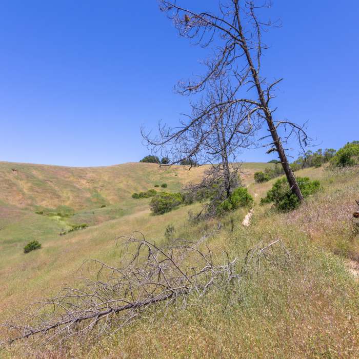
Grassy hills along the upper stretch of Devil's Slide Trail.
Near Knobcone Point Road
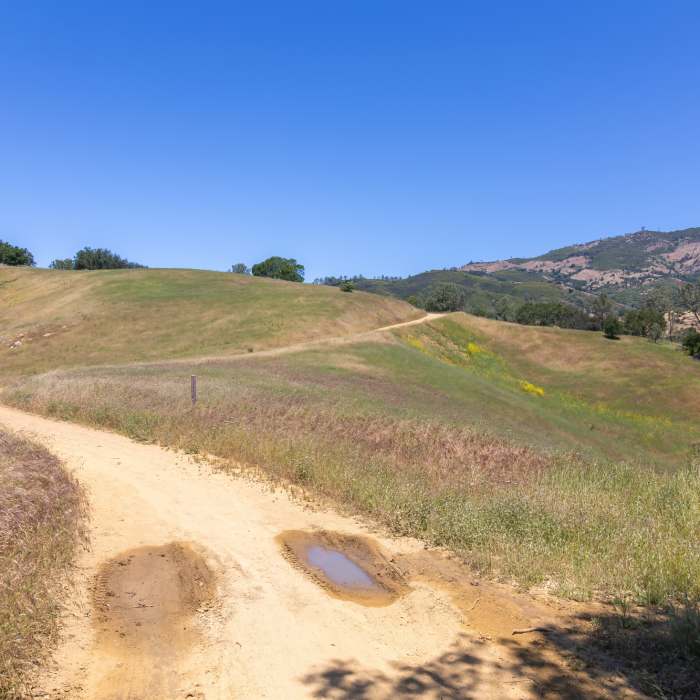
View from Knobcone Point Road towards Mount Diablo.
Near Knobcone Point Road
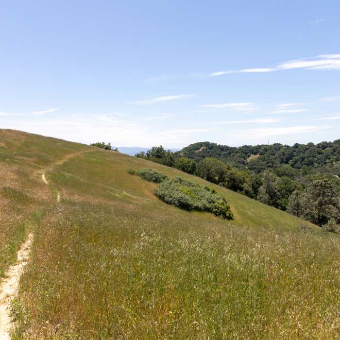
The start of Camp Force Trail.
Near Knobcone Point Road
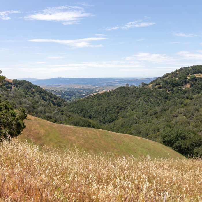
View towards Madrone Canyon from Knobcone Point Road.

Looking for more photos?

View All Photos
Driving Directions
Hike Trail

Knobcone Point Road

3.0 (1 Rating)
Trail towards the northern edge of Knobcone Point.
2
mi
Distance
340
ft
Gain
moderate
Difficulty
ViewsWildflowers

Route Details

Flatter
Steeper
2.01mi
Distance
340ft
Elevation Gain
278ft
Elevation Loss
40%
Max Grade
1,876ft
High Point
1,584ft
Low Point
Path Type
Point to Point
Description
Leaving Curry Point, head east and continue past Curry Canyon Road. You gently descend through grassy hills and pass Devil's Slide Trail at 0.6 miles. This is the lowest point of the trail. Stay left as Black Hawk Ridge Road joins from the right. The trail winds through oak trees and eventually ends at a closed gate and a junction with a power line utility road, just north of Knobcone Point.

Route Conditions

Report Conditions
No Condition Reports
Report Conditions

Nearby Hike Routes

Juniper to Summit Loop

Hike Route

Juniper to Summit Loop

Birding
moderate
6.55 mi
+1,863 ft
Mt. Diablo Summit Loop - South

Hike Route

Mt. Diablo Summit Loop - South

Spring
strenuous
15.61 mi
+4,066 ft
Stage Road Loop

Hike Route

Stage Road Loop

Birding
moderate
4.04 mi
+698 ft
Eagle Peak Loop

Hike Route

Eagle Peak Loop

Views
strenuous
6.55 mi
+2,170 ft
Mount Diablo Summit Loop - North

Hike Route

Mount Diablo Summit Loop - North

Views
strenuous
12.95 mi
+3,383 ft
Mount Diablo Hike via Mitchell Canyon Visitor Center

Hike Route

Mount Diablo Hike via Mitchell Canyon Visitor Center

Less Crowded
extreme
12.92 mi
+3,791 ft
Contributors
Tilman Giese
