Near D Loop
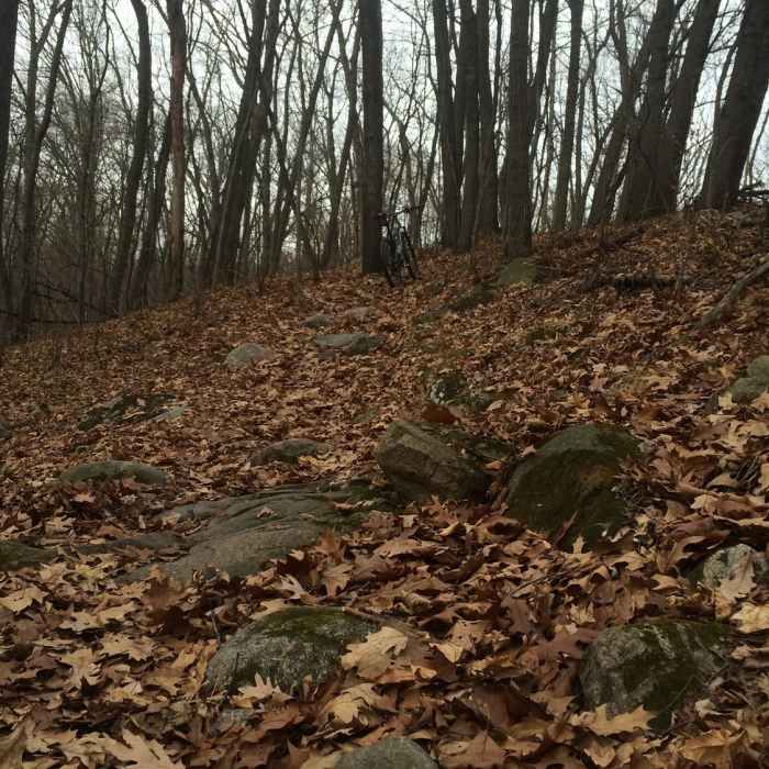
Rocks and leaves on the D Loop.

Looking for more photos?

View All Photos
View Map
Driving Directions
Hike Trail

D Loop

3.7 (3 Ratings)
D Loop is the fourth of four stacked loops with extended climbs and rocks to negotiate.
3.9
mi
Distance
454
ft
Gain
strenuous
Difficulty
Fall Colors
Access Issues
Popular with hunters during deer season. Check Michigan DNR site for exact dates and wear orange when appropriate. A Michigan "Recreation Passport" is required to park at the trailhead.

Route Details

Flatter
Steeper
3.9mi
Distance
454ft
Elevation Gain
451ft
Elevation Loss
30%
Max Grade
1,133ft
High Point
1,002ft
Low Point
Path Type
Loop
Description
D Loop has some of the more technical hiking in the Highland State Recreation Area with lots of tight turns, some rocks, and longer climbs. Your time is spent navigating rocks and roots on this narrow singletrack. From the trailhead on Livingston Road, you can connect to the D Loop from the A Loop.

Route Conditions

Report Conditions
No Condition Reports
Report Conditions

Nearby Hike Routes

Highland State Recreation Area

Hike Route

Highland State Recreation Area

Birding
moderate
13.78 mi
+1,516 ft
Haven Hill

Hike Route

Haven Hill

Views
easy
1.81 mi
+185 ft
Green Trail

Hike Route

Green Trail

Fall Colors
easy
4.76 mi
+174 ft
Mountain Bike Trail

Hike Route

Mountain Bike Trail

Birding
moderate
9.92 mi
+781 ft
Maybury State Park

Hike Route

Maybury State Park

Birding
moderate
8.19 mi
+385 ft
Marshall Nature Area and Tom A. Freeman Preserve Loop

Hike Route

Marshall Nature Area and Tom A. Freeman Preserve Loop

Fall Colors
moderate
2.36 mi
+170 ft
Contributors
Kristen Arendt
