Ready to explore this trail?
View Trail Map in AppPath Type
Point to Point
The trail is a connector trail to Trail A - Ogden Creek Trail from Trail B - Sand Pit Trail; however through users including equestrian, MTB, and hiking an unofficial parking lot developed at the top of this trail near the highway.
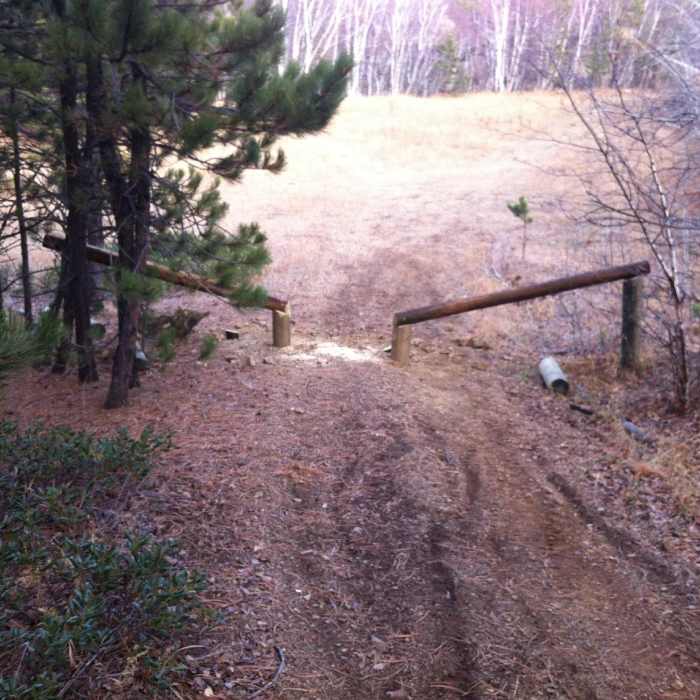
From the parking lot, you'll go north past the aspens and down through sapling pines through a new anti-ATV structure. This is experimental, as over several years, ATVs were destroying the trail, bench and singletrack.
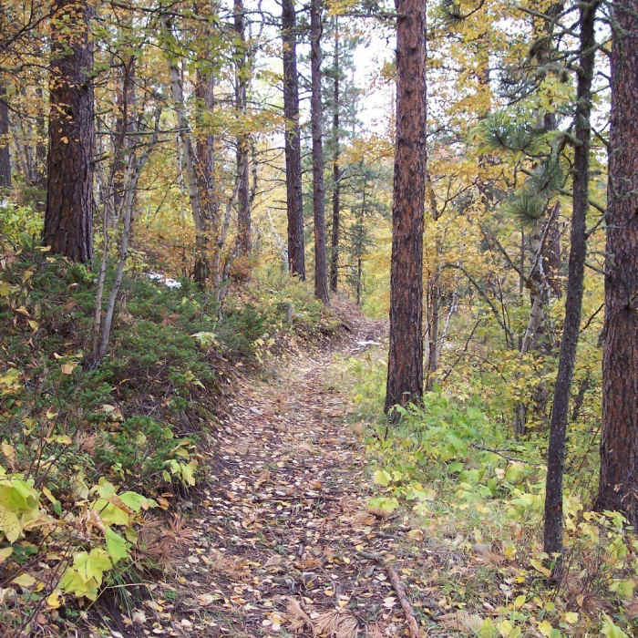
Through this gate go north toward the brown wooden forest service sign. Head north through the other grove of sapling pines. The trail has a wide corridor and high ceiling corridor, but is very well shaded. Paper Birch, Aspens, and Pines are the dominate trees. Cows frequent the area in the summer and fall, so be aware of bovine mines. (cow pies)
This area has also suffered extensive beetle kill and the pines have taken a hit. On occasion the pines will fall. We endeavor to keep them cleaned out and Forest Service is working to reduce the issue.
As the trail weaves down, it will exit out at the Ogden Creek with a another wooden bridge, it then filters out onto the Ogden Creek Road. Descend to Trail A - Ogden Creek Trail or go up the road and exit onto the highway, back to the parking lot or other trails. Its a hoot and is and fun uphill climb as well.
No Condition Reports
Contributors

