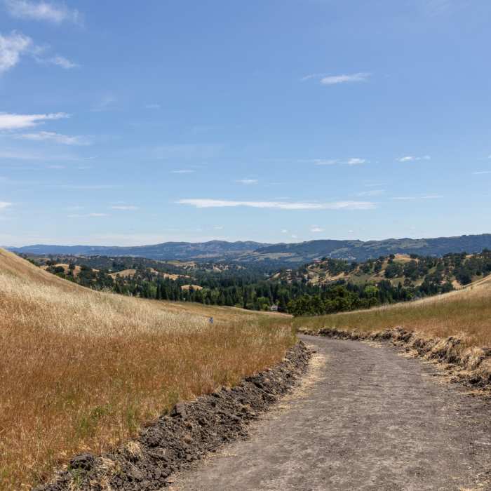
Near Wall Point Road
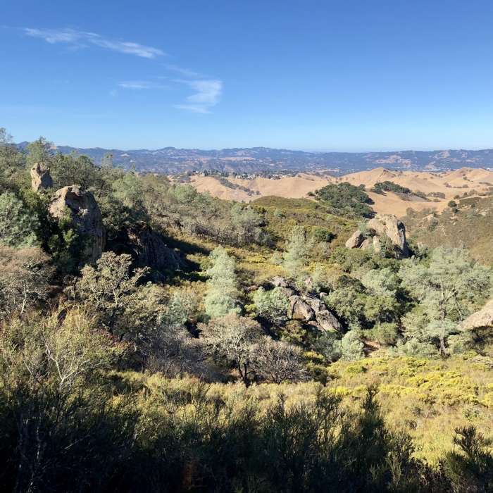
Wall Point
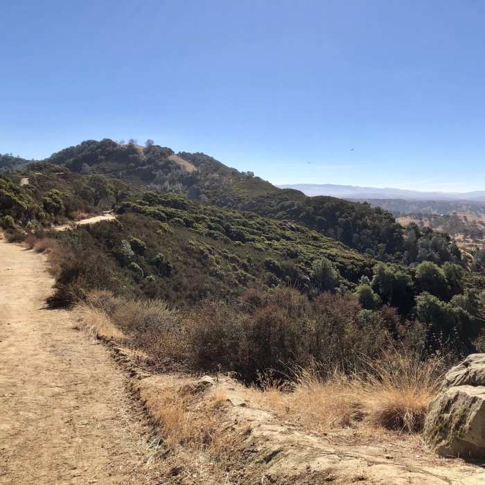
Near Wall Point Road
Wall Point Road Trail
Near Wall Point Road
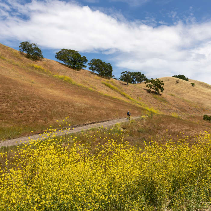
Abundant wildflowers along Wall Point Road.
Near Wall Point Road
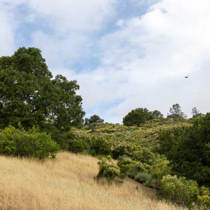
Looking up Pine Ridge from Emmons Canyon
Near Wall Point Road
The final descent on Wall Point Road towards Danville.

Looking for more photos?

View All Photos
View Map
Driving Directions
Hike Trail

Wall Point Road

3.5 (2 Ratings)
Trail access between the southwest corner of Mt. Diablo State Park and the Rock City area.
3.5
mi
Distance
1,166
ft
Gain
moderate
Difficulty
ViewsWildlife

Route Details

Flatter
Steeper
3.49mi
Distance
1,166ft
Elevation Gain
345ft
Elevation Loss
60%
Max Grade
1,738ft
High Point
800ft
Low Point
Path Type
Point to Point
Description
This trail is a wide dirt route across the low south face of Mount Diablo between the Macedo Ranch area and the Rock City area.

Route Conditions

Report Conditions
No Condition Reports
Report Conditions

Nearby Hike Routes

Mt. Diablo Summit Loop - South

Hike Route

Mt. Diablo Summit Loop - South

Spring
strenuous
15.61 mi
+4,067 ft
Stage Road Loop

Hike Route

Stage Road Loop

Birding
moderate
4.04 mi
+698 ft
Castle Rock Trail via Stage Road Trail

Hike Route

Castle Rock Trail via Stage Road Trail

Views
moderate
6.91 mi
+1,046 ft
Juniper to Summit Loop

Hike Route

Juniper to Summit Loop

Birding
moderate
6.55 mi
+1,863 ft
Eagle Peak Out and Back

Hike Route

Eagle Peak Out and Back

Views
strenuous
4.17 mi
+1,469 ft
Eagle Peak Loop

Hike Route

Eagle Peak Loop

Views
strenuous
6.55 mi
+2,170 ft
Contributors
John Rabold
