Ready to explore this trail?
View Trail Map in AppPets permitted on a leash (6' or shorter). Pay attention to closing time. They will lock your car inside the park for the night. Park opens at 10 am and closes based on the season. Check the website. An entrance fee of $5 for out of county vehicles is collected April 1 - October 31 on weekends (Friday - Sunday).
Path Type
Loop
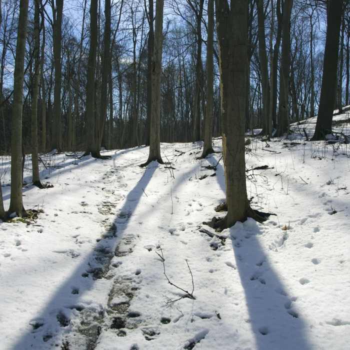
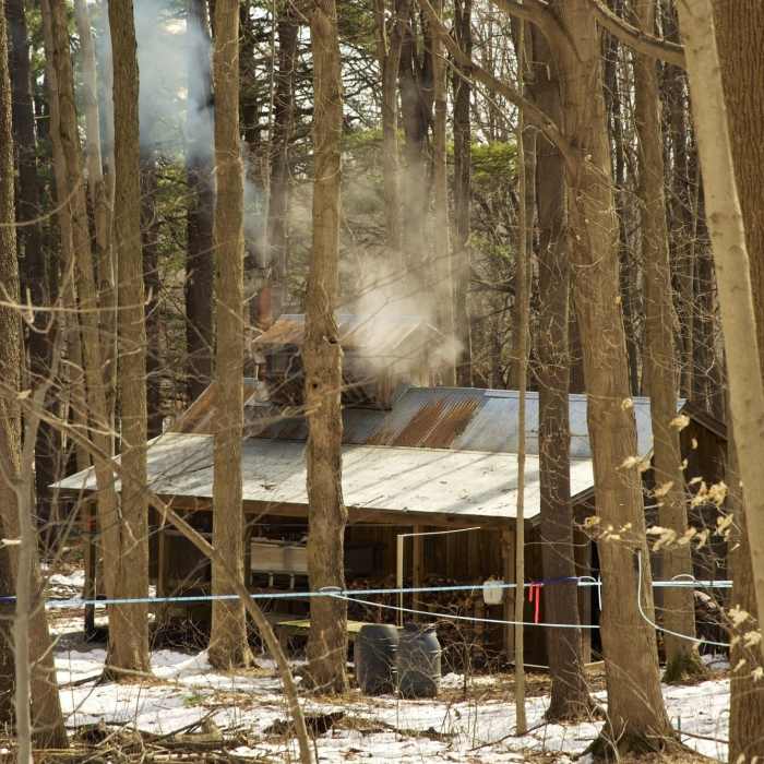
Lookout Trail starts from the playground across from the Studebaker pine trees. It is easy to find. The trail surface is packed dirt with leaf litter. The first part of the trail is easy to follow as it travels along the side of Carlisle Hill. At the south end the trail comes upon the maple syrup operation with a sugar shack. In the late winter, there is an amazing web of plastic tubes that run from each tree to larger lines and eventually to the sugar shack. The trail will turn to the right and head up the hill. The path was difficult to follow until the well-worn rut was found that has clearly been used for decades.
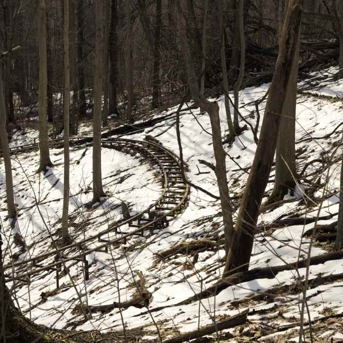
Take the trail to the top of the hill. Try to imagine that this was once an operational downhill ski area from 1969 until 1986. There are remnants of the rope tows and and an alpine slide that never opened due to safety concerns. Finish the trail by heading north down the front of the hill back to the playground.
No Condition Reports
Contributors

