
Ready to explore this trail?
View Trail Map in AppPath Type
Point to Point
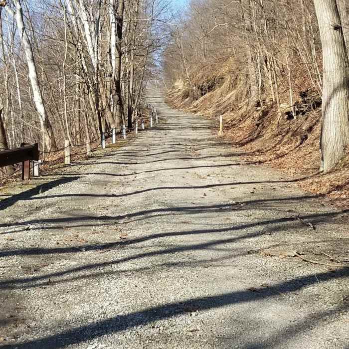
The West Penn Trail is officially recognized as a National Recreation Trail and is a beautiful, accessible route for anyone in the area. The trail stretches between Saltsburg to just outside Blairsville along the path of the old Portage Railroad line that ran from 1830 to 1864.
This line was originally built to connect Pittsburgh and Harrisburg. The trail is still under development in an effort to extend it further along the railroad path. For updated conditions and route information, check the Conemaugh Valley Conservancy website.
The trail is comprised of five sections. The first is at Conemaugh River Lake, near the Conemaugh Dam, where the trail heads across four stone arch bridges that date back to the early 1900s.
The second section is the Bow Ridge Switchback to Conemaugh Dam Section. Here, the trail passes two tunnels and a hydroelectric plant with some elevation that can be a great, aerobic challenge for riders.
The third section is the Dick Mayer section that follows the former railroad bed and has some challenging crushed gravel and rough, wooded singletrack.
The penultimate section is Saltsburg and this stretch of the trail goes along the banks of the Conemaugh River for just over four miles, heading through shaded woodlands. Be aware as horseback riding and biking are permitted.
The final section is the Kiski Extension, which follows the east riverbank for 1.5 miles until it comes to an open field. Beyond the field, the trail heads onto private property.
No Condition Reports
Contributors

