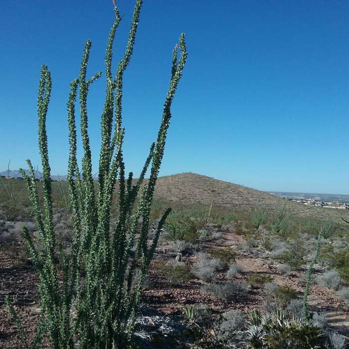
Near Del Sol Valley
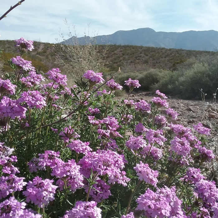
Glandularia and Franklin Mountains
Near Del Sol Valley
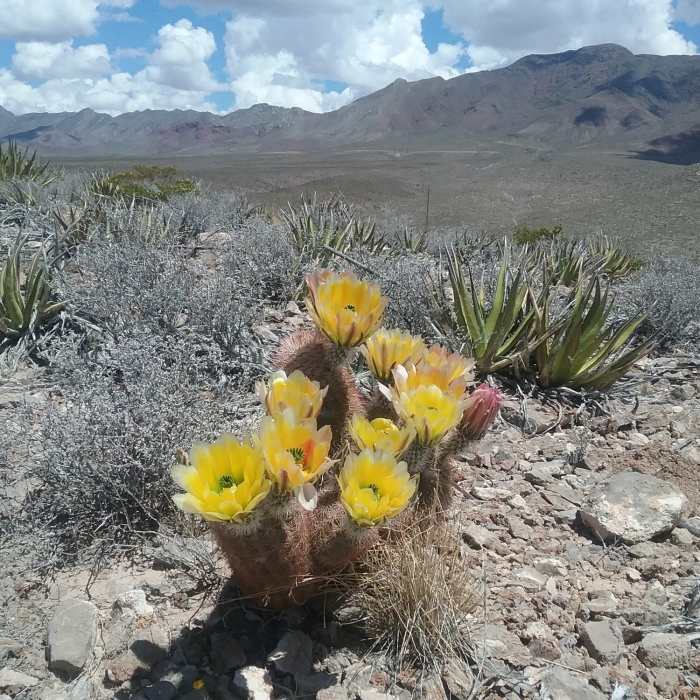
Texas Rainbow cactus in bloom and view of the Franklin Mountains
Near Del Sol Valley
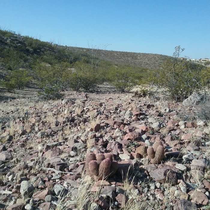
Looking south in the Valley
Near Del Sol Valley
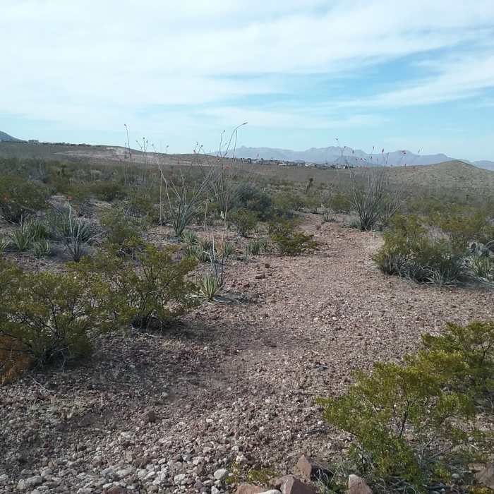
Looking west from the trail
Near Del Sol Valley
View of Del Sol Ridge

Looking for more photos?

View All Photos
Driving Directions
Hike Trail

Del Sol Valley

2.5 (2 Ratings)
A short loop with steep climbs.
0.6
mi
Distance
113
ft
Gain
moderate
Difficulty
BirdingViewsWildflowersWildlife

Route Details

Flatter
Steeper
0.57mi
Distance
113ft
Elevation Gain
113ft
Elevation Loss
20%
Max Grade
4,348ft
High Point
4,248ft
Low Point
Path Type
Loop
Description
The newest addition to the Lost Dog trail system, Del Sol Valley is a short loop bounded by neighborhoods and hills. From the connection to Del Sol Ridge, following the trail clockwise, Valley descends to cross and follow alongside an uncharacteristically deep arroyo. The turnoff for Desert Forest can be found here, and a fork connects to the northern side of the Lost Dog area via Dead Valentine's Trail. The trail then crosses the arroyo again and picks up on a wider section of doubletrack running south. Passing a steep and slippery climb which links to a neighborhood and parking at the trail's southern end, Valley finally makes a challenging but brief ascent back to where it began.

Route Conditions

Report Conditions
No Condition Reports
Report Conditions

Nearby Hike Routes

Tour de Lost Dog

Hike Route

Tour de Lost Dog

Views
strenuous
13.06 mi
+1,934 ft
Lower Sunset Alternate Loop

Hike Route

Lower Sunset Alternate Loop

Historical
moderate
4.86 mi
+938 ft
Sunset Loop

Hike Route

Sunset Loop

Views
strenuous
8.18 mi
+1,695 ft
Ron Coleman Trail

Hike Route

Ron Coleman Trail

Cave
strenuous
3.74 mi
+1,862 ft
Mount Cristo Rey

Hike Route

Mount Cristo Rey

Views
moderate
4.69 mi
+1,132 ft
Kilbourne Hole

Hike Route

Kilbourne Hole

Lake
moderate
7.41 mi
+313 ft
Contributors
Brendan Ross
