Near Basin Creek Trail
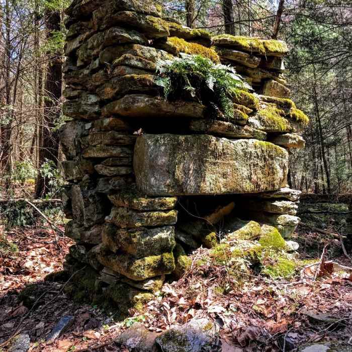
The only remnant of an old homestead
Near Basin Creek Trail
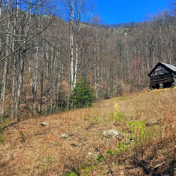
The Caudill Homestead
Near Basin Creek Trail
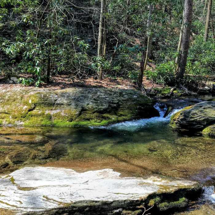
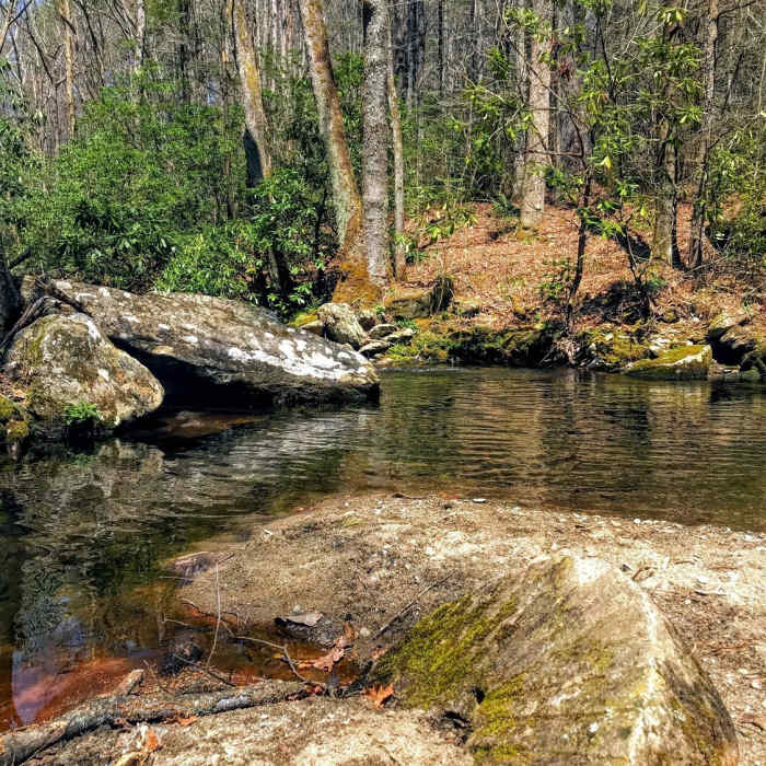
Crystal waters on Basin Creek
Near Basin Creek Trail
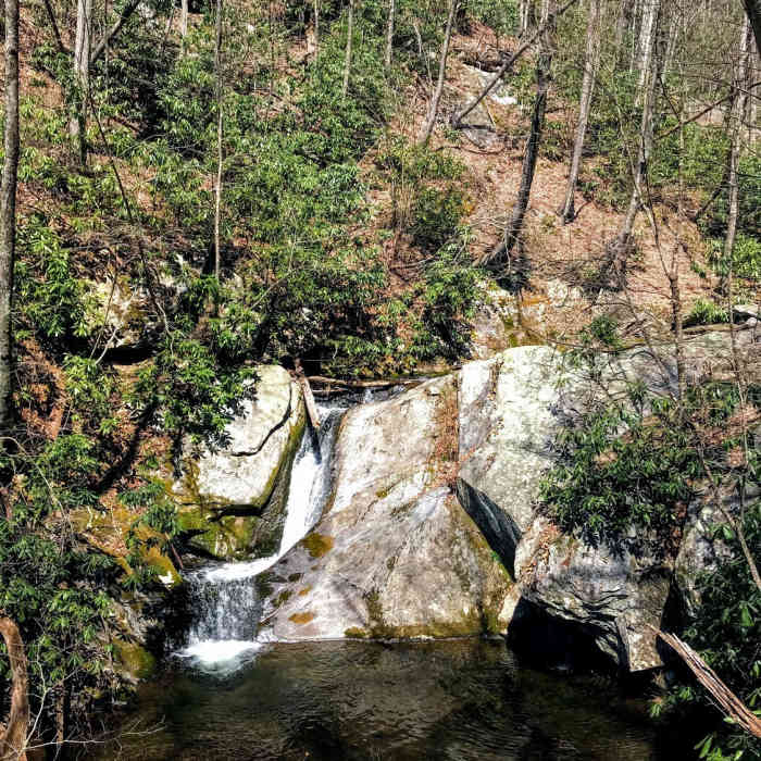
The Middle Falls drops into a welcoming pool
Near Basin Creek Trail
A hand-chiseled millstone lies abandoned in the creek

Looking for more photos?

View All Photos
View Map
Driving Directions
Hike Trail

Basin Creek Trail

4.3 (6 Ratings)
A beautiful trail that follows the crystal waters of Basin Creek.
3
mi
Distance
1,321
ft
Gain
strenuous
Difficulty
BirdingFall ColorsRiver/CreekWaterfallWildflowers

Route Details

Flatter
Steeper
3.01mi
Distance
1,321ft
Elevation Gain
108ft
Elevation Loss
35%
Max Grade
2,777ft
High Point
1,563ft
Low Point
Path Type
Point to Point
Description
To access the trail, hike up Grassy Gap Fire Road a little over a mile and a half. Watch for a well-marked trail heading up and right. The trail immediately heads up through thick forest on what seems to be an old road. After a quick rise, the trail evens out and travels alongside the crystal waters of the creek. Crossing the creek a few times, you see the remnants of old homesteads along the way. After a little over a mile, the trail diverts up and left of the creek to avoid the long drop to Lower Falls. To visit the falls, bushwhack up the right side of the creek. Once above the falls, you follow the gentle rise of the creek again, making multiple rock-hops across the water. After passing several chimneys, you eventually come to Middle Falls, which is pretty but much more petite than Lower Falls. From here the trail heads uphill more precipitously and becomes true singletrack, finally arriving at the Caudill Homestead.

Route Conditions

Report Conditions
No Condition Reports
Report Conditions

Nearby Hike Routes

Doughton Recreation Area Loop

Hike Route

Doughton Recreation Area Loop

Views
moderate
15.9 mi
+3,411 ft
Alligator Rocks to Bluff Mountain

Hike Route

Alligator Rocks to Bluff Mountain

Dogs Allowed
moderate
0.94 mi
+365 ft
Widows Creek/MST Trail

Hike Route

Widows Creek/MST Trail

Fall Colors
strenuous
11.81 mi
+3,046 ft
Stone Mountain Loop Trail

Hike Route

Stone Mountain Loop Trail

Birding
strenuous
4.33 mi
+989 ft
Wolf Rock to Stone Mountain Falls

Hike Route

Wolf Rock to Stone Mountain Falls

Birding
moderate
6.47 mi
+1,284 ft
Isaacs Trailhead to Grassy Creek/Carter Falls

Hike Route

Isaacs Trailhead to Grassy Creek/Carter Falls

Fall Colors
moderate
6.48 mi
+614 ft
Contributors
Russell Hobart
