Near C Trail
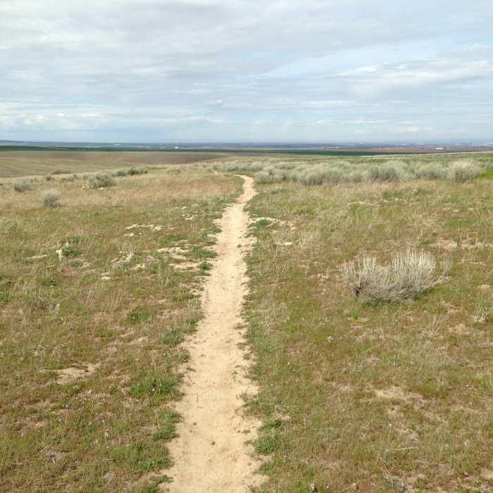
Typical hardpack dirt trail bed.
Near C Trail
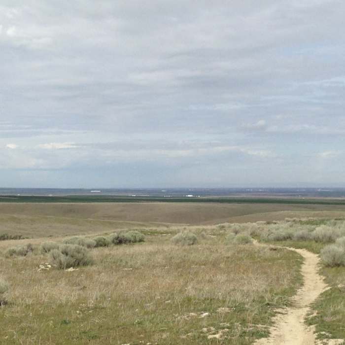
View of the Columbia River valley in the distance

Looking for more photos?

View All Photos
View Map
Driving Directions
Hike Trail

C Trail

5.0 (2 Ratings)
A great loop trail.
2.6
mi
Distance
271
ft
Gain
moderate
Difficulty

Route Details

Flatter
Steeper
2.55mi
Distance
271ft
Elevation Gain
271ft
Elevation Loss
20%
Max Grade
1,030ft
High Point
843ft
Low Point
Path Type
Loop
Description
This trail starts and ends where B Trail magically becomes D Trail. Head up the side of the hill a 0.5 miles east, then enjoy a bit of a glide slope for another 0.6 mile with some tight switchbacks that almost merge with D Trail at the bottom. Now you have a short climb up and out of a side gully. From here it is all downhill to the overpass with some reasonably wide switchbacks. At about the 2.0 mile mark you'll get to cross over a very well-built overpass. From here, you have a short 0.7 miles hike back up to where B Trail magically becomes D Trail.

Route Conditions

Report Conditions
No Condition Reports
Report Conditions

Nearby Hike Routes

Hermiston Butte

Hike Route

Hermiston Butte

Views
easy
1.17 mi
+143 ft
McNary Nature Trail

Hike Route

McNary Nature Trail

Less Crowded
easy
1.02 mi
+0 ft
Portage Route Trail

Hike Route

Portage Route Trail

Less Crowded
easy
2.41 mi
+267 ft
Columbia River Heritage Trail

Hike Route

Columbia River Heritage Trail

easy
1.74 mi
+3 ft
Burbank Slough Wildlife Trail

Hike Route

Burbank Slough Wildlife Trail

Views
easy
2.04 mi
+14 ft
Dr. Rod Coler Audubon Nature Trail

Hike Route

Dr. Rod Coler Audubon Nature Trail

easy
2.12 mi
+0 ft
Contributors
Joseph States
