Near Bad Fork Trail #323
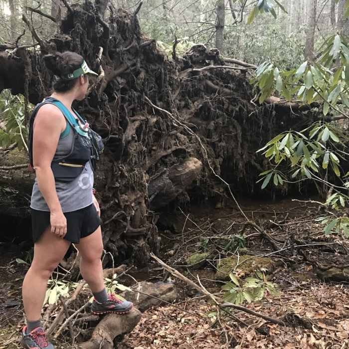
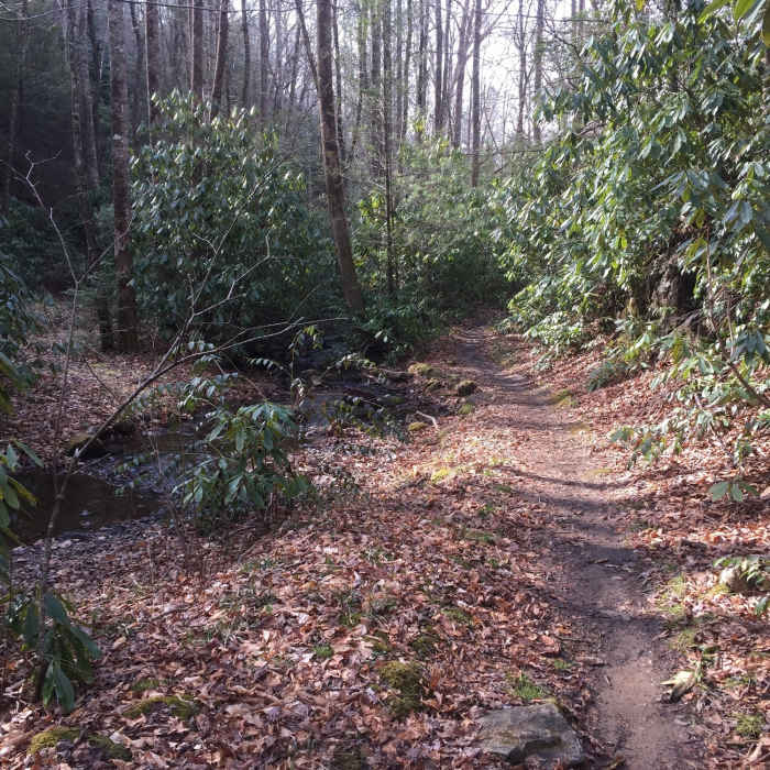
The Bad Fork Trail travels on a beautiful forested tread alongside Bad Fork Creek. Be sure to check out this fallen tree while on trail!
Near Bad Fork Trail #323
The singletrack Bad Fork Trail offers a pleasant respite from the area's doubletrack.

Looking for more photos?

View All Photos
Driving Directions
Hike Trail

Bad Fork Trail #323

2.5 (2 Ratings)
A short, steep fall line singletrack along Bad Fork Creek.
1.7
mi
Distance
801
ft
Gain
strenuous
Difficulty
Fall ColorsRiver/Creek

Route Details

Flatter
Steeper
1.74mi
Distance
801ft
Elevation Gain
0ft
Elevation Loss
20%
Max Grade
3,273ft
High Point
2,473ft
Low Point
Path Type
Point to Point
Description
Bad Fork Trail has two drive up access points. The high point is just off the Blue Ridge Parkway Mile at Post 399, and the bottom access point is in the Pisgah National Forest - Wash Creek Camping Area. Bad Fork is a short, steep singletrack trail that winds along Bad Fork Creek. It is just one of several trails in the area that hikers can string together to get just about any distance and elevation that can be imagined!

Route Conditions

Report Conditions
No Condition Reports
Report Conditions

Nearby Hike Routes

Mills River Loop

Hike Route

Mills River Loop

Fall Colors
moderate
3.77 mi
+356 ft
MST/Powhatan Loop

Hike Route

MST/Powhatan Loop

Fall Colors
moderate
9.7 mi
+1,588 ft
Mount Pisgah via the Buck Spring Trail

Hike Route

Mount Pisgah via the Buck Spring Trail

Views
easy
2.43 mi
+718 ft
Frying Pan Lookout Tower

Hike Route

Frying Pan Lookout Tower

Fall Colors
moderate
1.58 mi
+378 ft
Pink Beds Loop

Hike Route

Pink Beds Loop

Wildflowers
easy
5.04 mi
+309 ft
Twin Falls Out-and-Back

Hike Route

Twin Falls Out-and-Back

Waterfall
moderate
1.92 mi
+251 ft
Contributors
Victor Mariano
