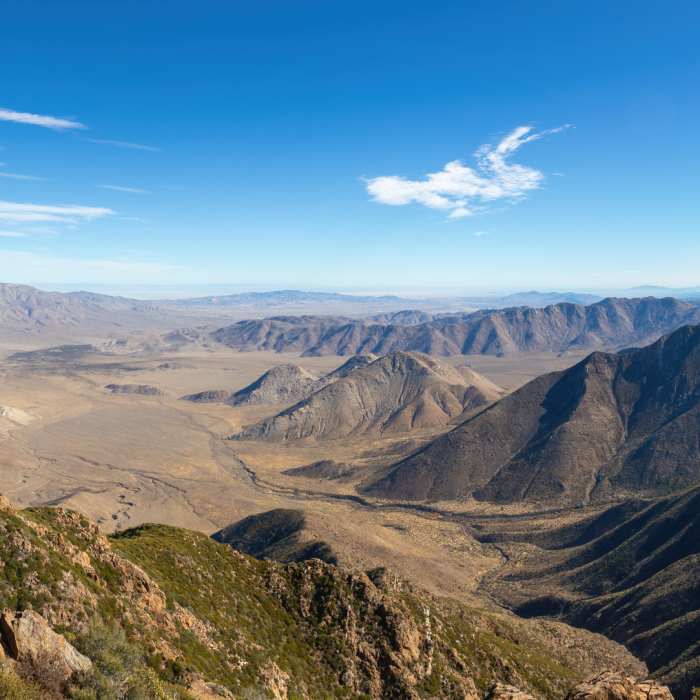
Near Garnet Peak Trail
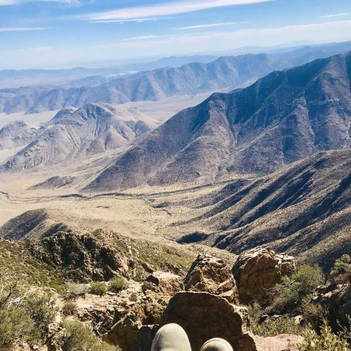
Garnet peak
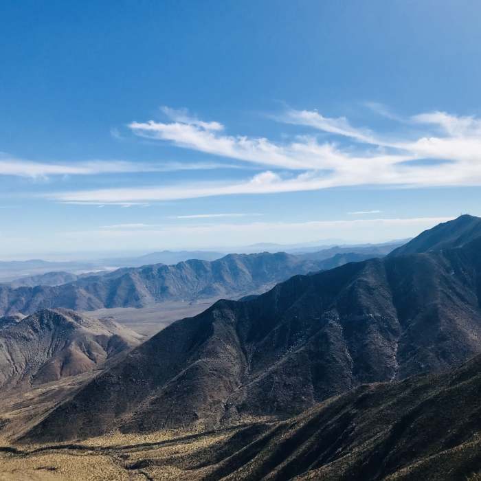
Near Garnet Peak Trail
At the peak
Near Garnet Peak Trail
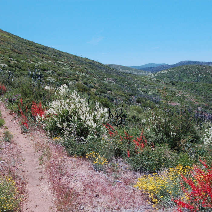
Flowers in fire recovery area.
Near Garnet Peak Trail
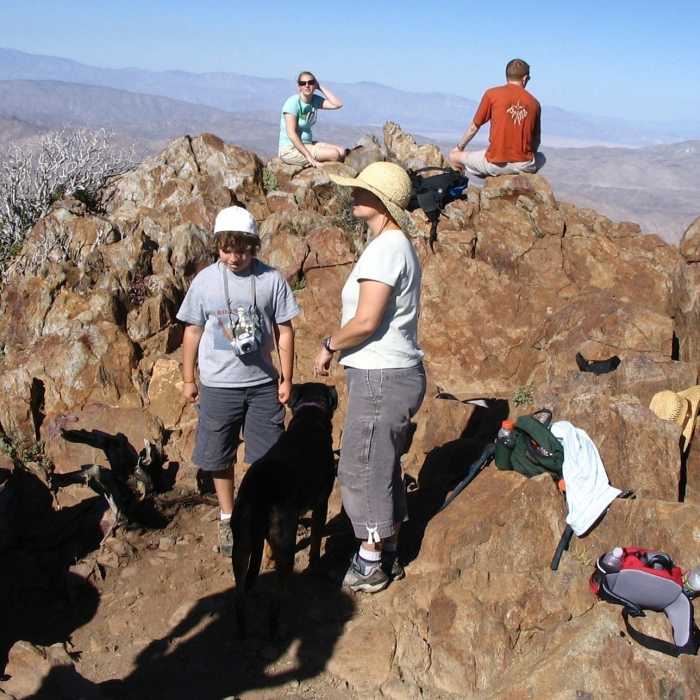
Summit of Garnet Peak
Near Garnet Peak Trail

Looking for more photos?

View All Photos
View Map
Driving Directions
Hike Trail

Garnet Peak Trail

4.7 (6 Ratings)
A short hike with beautiful views.
1.2
mi
Distance
517
ft
Gain
moderate
Difficulty
BirdingViewsWildflowersWildlife

Route Details

Flatter
Steeper
1.15mi
Distance
517ft
Elevation Gain
0ft
Elevation Loss
20%
Max Grade
5,908ft
High Point
5,378ft
Low Point
Path Type
Point to Point
Description
At the start of the trail is a metal gate labeled Garnet Peak Trail. Climb over the gate and start the hike. The trail starts off fairly wide in the valley with a mild incline. The peak can be seen straight ahead. About 0.5 miles into the hike, you'll cross the PCT. Continue straight and another sign will lead you in the direction of Garnet Peak Trail. The remainder of the trail is a more moderate incline and fairly rocky. There are a few bigger rocks near the summit which may require some good footing and large steps over. Once you reach the peak, you'll enjoy 360-degree views.

Route Conditions

Report Conditions
Anonymous Adventurer
All Clear
Anonymous Adventurer
All Clear
Looking for more condition reports?
View History

Nearby Hike Routes

Foster Point

Hike Route

Foster Point

Views
easy
1.34 mi
+103 ft
Monument Peak Hike

Hike Route

Monument Peak Hike

Views
easy
1.44 mi
+556 ft
Desert View Trail via Burnt Rancheria Campground

Hike Route

Desert View Trail via Burnt Rancheria Campground

Views
easy
2.09 mi
+224 ft
Cuyamaca State Park Loop

Hike Route

Cuyamaca State Park Loop

Less Crowded
extreme
23.88 mi
+2,768 ft
Cottonwood Creek Falls

Hike Route

Cottonwood Creek Falls

Views
easy
1.75 mi
+460 ft
West Mesa Loop

Hike Route

West Mesa Loop

Views
moderate
6.59 mi
+1,128 ft
Contributors
Alex Wehrle
