Ready to explore this trail?
View Trail Map in AppThis trail is an old faded dirt road (Forest Road 850) that used to service the now defunct Arnold Mine and the old cabin at Hinkle Lake. It starts at the trailhead for the Azalea Lake/Fir Glade Trail #955. This trailhead is accessible by 2WD vehicles if driven carefully, but the last 0.5 miles to the trailhead on Forest Road 800 can be challenging. If in doubt, park at the intersection of Forest Roads 1030 and 800 and walk. This area is usually closed by snow between November and May.
Path Type
Point to Point
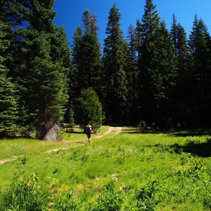
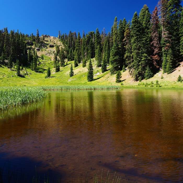
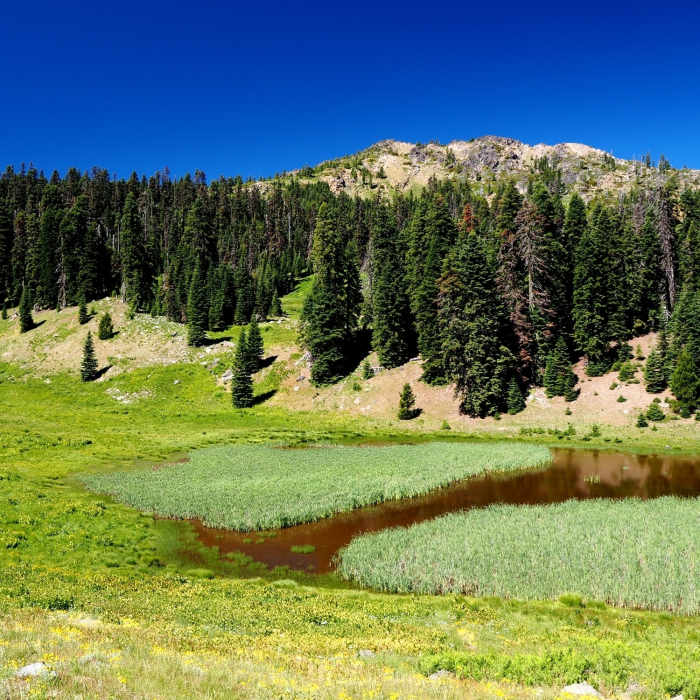
Either park at the Azalea Lake/Fir Glade Trail #955 trailhead or walk up to it from the junction of Forest Roads 1030 and 800. Once there, turn right (north) and walk up Forest Road 850. In 0.2 miles, you'll pass the remains of the stamp mill associated with the Arnold Mine above. Soon thereafter, you'll pass a stout gate which the Forest Service installed to have cut down on the number of irresponsible off-road vehicle users damaging the meadows around the lake. Continue on the old road passes through some small meadows before cresting the ridge and dropping down to the lake. The lake is pretty but not very deep.
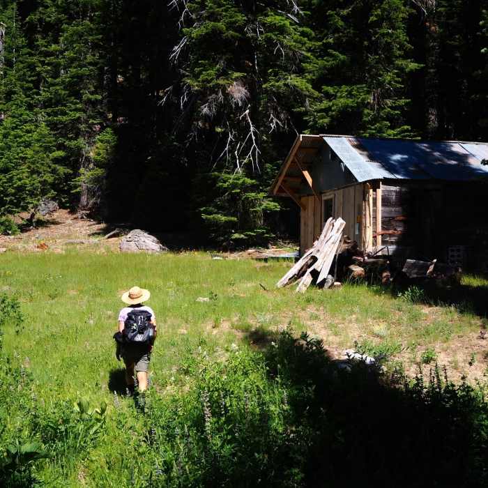
You can follow the road past the lake for a short distance to where it ends at Kendall (or Kendall's) Cabin situated at the bottom of another large, California corn lily-covered meadow. The cabin's walls are six-inch thick log slices (with prominent saw marks) chinked with metal bands. This hewn-log structure was supposedly built by local hunters in the 1950s with an early-style power saw.
For a longer hike, consider a moderate off-trail climb of nearby Arnold Mountain, which rises above Hinkle Lake to the west. There are spectacular views from its summit on a clear day. The name of this peak was officially from Lake Peak to Arnold Mountain by the U.S. Board of Geographic Names in 1998 in honor of late 19th/early 20th century miner and settler Ezra Arnold. The current USGS map for this area, which was prepared in 1996, doesn't show this change.
On the way back, you can make a short (0.1-mile) detour to see the remains of the Arnold Mine. Claims here were first staked by Ezra Arnold (namesake of Arnold Mountain) in 1914-1915 and subsequently owned and mined by his descendants into the 1990s. The mine consisted of two tunnels and an exploratory trench and was reported to have produced up to 600 ounces of gold by 1940. Serious production ended around 1957.
No Condition Reports
Contributors

