Near Mont Chateau Trail (North)
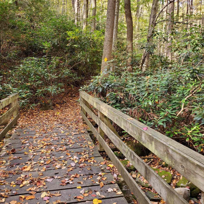
Near the start of the steep descent to Cheat Lake on the Mont Chateau Trail North.
Near Mont Chateau Trail (North)
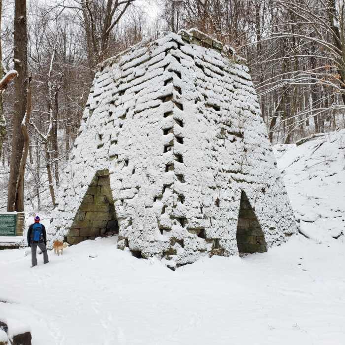
Clay Furnace Trail. Great for kids!

Looking for more photos?

View All Photos
Driving Directions
Hike Trail

Mont Chateau Trail (North)

5.0 (5 Ratings)
A must do trail in Coopers Rock, offering seclusion and ambiance en route to Cheat Lake.
1.7
mi
Distance
44
ft
Gain
strenuous
Difficulty
Fall ColorsLakeRiver/CreekViews

Route Details

Flatter
Steeper
1.66mi
Distance
44ft
Elevation Gain
781ft
Elevation Loss
20%
Max Grade
1,608ft
High Point
871ft
Low Point
Path Type
Point to Point
Description
At the nexus of Advanced Ski Trail, Rhododendron Trail, and Clay Furnace Trail, this trail heads west for Cheat Lake/River. Crossing over Clay Run, the trail follows along its banks with great sections of trail highlighted by rhododendron, moss covered boulders, and slightly technical terrain. At the intersection with Ridge Trail, continue to the right/straight. This will begin a half mile long descent all the way to the Cheat Lake/River (approximately where the river becomes a lake). In this section, Clay Run gets steeper and carries more water, adding to the ambiance, with its rushing water churning over boulders, as it makes its way to Cheat Lake. You'll have views across the lake towards the old Cheat Road bridge.

Route Conditions

Report Conditions
No Condition Reports
Report Conditions

Nearby Hike Routes

Coopers Rock Grand Loop

Hike Route

Coopers Rock Grand Loop

Birding
moderate
9.81 mi
+1,530 ft
Cucumber Falls

Hike Route

Cucumber Falls

Views
easy
1.01 mi
+124 ft
Sugarloaf Sled Hill to Falls Overlook

Hike Route

Sugarloaf Sled Hill to Falls Overlook

Fall Colors
moderate
4.54 mi
+148 ft
Ferncliff Trail

Hike Route

Ferncliff Trail

Family Friendly
easy
1.77 mi
+154 ft
Laurel Highlands Trail: Ohiopyle State Park

Hike Route

Laurel Highlands Trail: Ohiopyle State Park

Fall Colors
strenuous
10.76 mi
+2,820 ft
Fork Run Loop

Hike Route

Fork Run Loop

River/Creek
moderate
7.65 mi
+964 ft
Contributors
Kevin Ketchman
