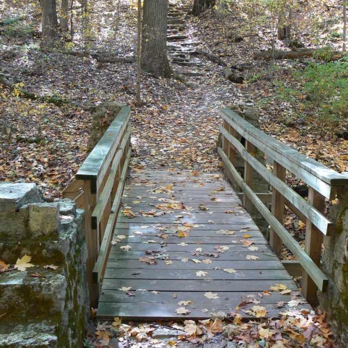
Near Trail 4
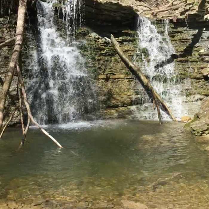
Secluded, private waterfall and pool. Follow the bottom of Hoffman Branch upstream (not an official trail) and you'll be greatly rewarded with numerous waterfalls and interesting boulders.
Near Trail 4
Clifty Falls State Park
Near Trail 4
Clifty Falls State Park
Near Trail 4
Clifty Falls State Park
Near Trail 4
Clifty Falls State Park

Looking for more photos?

View All Photos
Driving Directions
Hike Trail

Trail 4

4.5 (2 Ratings)
Fast and steep trail leading to Hoffman Falls or, alternatively, to connect with Trail 2.
0.4
mi
Distance
199
ft
Gain
strenuous
Difficulty
BirdingFall ColorsRiver/CreekSpringViewsWaterfallWildflowersWildlife
Access Issues
Standard State Park restrictions.

Route Details

Flatter
Steeper
0.43mi
Distance
199ft
Elevation Gain
184ft
Elevation Loss
40%
Max Grade
810ft
High Point
624ft
Low Point
Path Type
Point to Point
Description
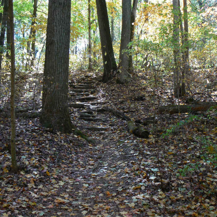
Starting at the Lilly Memorial, descend into the canyon via the steep stairs, continue along to the intersection with Trail 5, go left to stay on 4, then, at the next intersection, turn left again to head to Hoffman Falls, or turn right to make your way down to Trail 2 and Clifty Creek. To exit, either continue along past Hoffman Falls to the spur, or Trail 3, or if you turn right, continue to trail. This is a very steep trail, and probably the most rugged in the whole park. The staircase at Lilly Memorial is very long and very steep. The section of trail that runs parallel to Hoffman Branch has very steep and rocky terrain. This section is fairly dangerous due to its steep nature and proximity to a cliff descending into Hoffman Canyon, and should be followed with caution. However, some stairs have recently been built to help with a particularly dangerous spot on the trail. A seasonal waterfall can be found, as well as some old ruins from the Madison and Indianapolis railroad which was originally intended to be constructed along this trail.

Route Conditions

Report Conditions
Anonymous Adventurer
All Clear
Anonymous Adventurer
All Clear
Looking for more condition reports?
View History

Nearby Hike Routes

Clifty Falls State Park Loop

Hike Route

Clifty Falls State Park Loop

Views
moderate
5.38 mi
+1,158 ft
Harrods Creek Park

Hike Route

Harrods Creek Park

Fall Colors
moderate
3.58 mi
+621 ft
Route 666

Hike Route

Route 666

Birding
moderate
6.53 mi
+681 ft
Cherokee Park Loop

Hike Route

Cherokee Park Loop

Birding
moderate
4.86 mi
+376 ft
Shawnee Lookout

Hike Route

Shawnee Lookout

River/Creek
moderate
7.01 mi
+862 ft
Downey Hill Full Loop

Hike Route

Downey Hill Full Loop

River/Creek
moderate
4.88 mi
+700 ft
Contributors
Chris Davis
