Near Bay Area Ridge Trail: Sonoma Ridge Trail
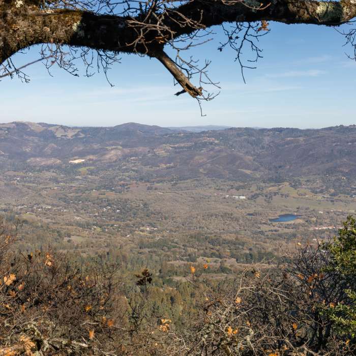
Eldrige from East Slope Sonoma Mountain Ridge Trail.
Near Bay Area Ridge Trail: Sonoma Ridge Trail
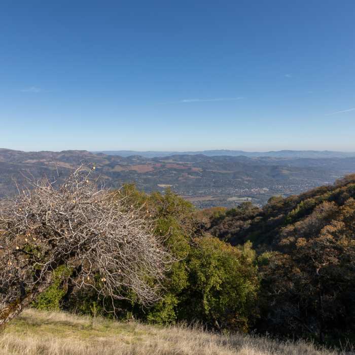
The outskirts of Sonoma

Looking for more photos?

View All Photos
View Map
Driving Directions
Hike Trail

Bay Area Ridge Trail: Sonoma Ridge Trail

3.5 (2 Ratings)
Take the Ridge Trail to views of the San Francisco Bay and Valley of the Moon.
3.8
mi
Distance
979
ft
Gain
moderate
Difficulty
Views

Route Details

Flatter
Steeper
3.8mi
Distance
979ft
Elevation Gain
370ft
Elevation Loss
30%
Max Grade
2,139ft
High Point
1,482ft
Low Point
Path Type
Point to Point
Description
From its intersection with Mountain Trail, the !Ridge Trail travels south on the Sonoma !Ridge Trail. The trail is routed along lively streams, through dense forests, and across grasslands on the eastern flanks of Sonoma Mountain. At the top of the ridge, enjoy scenic views of the Valley of the Moon and the bay.

Route Conditions

Report Conditions
Anonymous Adventurer
All Clear
Looking for more condition reports?
View History

Nearby Hike Routes

North Sonoma Mtn Trailhead to Sonoma Mtn Peak

Hike Route

North Sonoma Mtn Trailhead to Sonoma Mtn Peak

Spring
moderate
9.15 mi
+1,750 ft
Sonoma Overlook Trail

Hike Route

Sonoma Overlook Trail

Views
moderate
2.58 mi
+378 ft
Bald Mountain Loop

Hike Route

Bald Mountain Loop

Views
strenuous
6.68 mi
+1,880 ft
Mount Hood via Goodspeed Trail

Hike Route

Mount Hood via Goodspeed Trail

Views
moderate
6.31 mi
+2,242 ft
Vista Loop Trail

Hike Route

Vista Loop Trail

River/Creek
moderate
3.43 mi
+746 ft
Lawson Loop

Hike Route

Lawson Loop

River/Creek
moderate
3.45 mi
+723 ft
Contributors
Bay Area Ridge Trail Staff
