Near Orange Trail
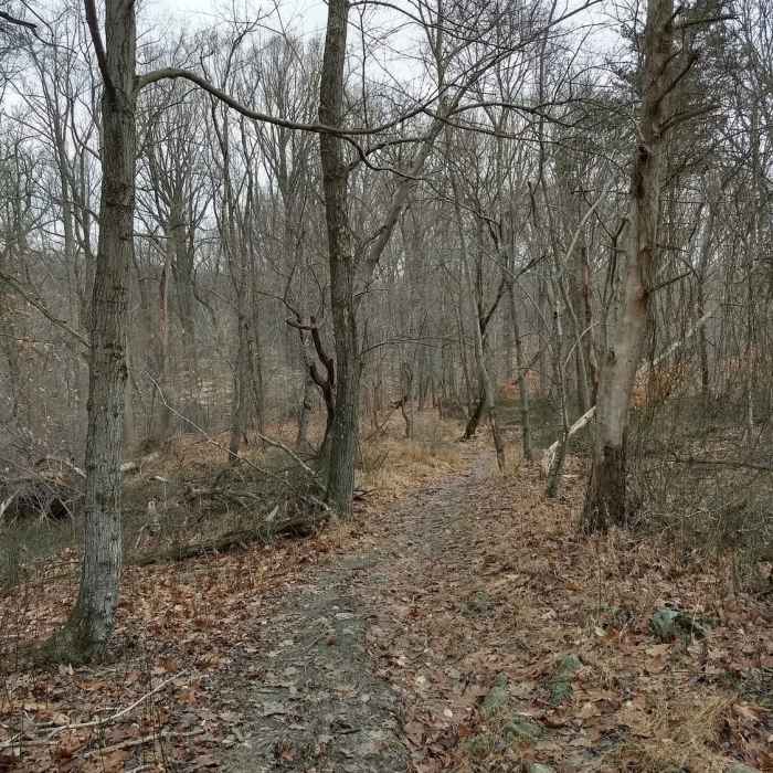
Along the orange trail
Near Orange Trail
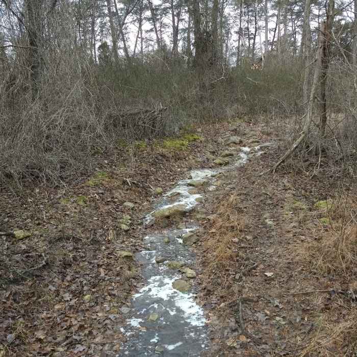
Ice covering the rocks and boulders of the purple trail
Near Orange Trail
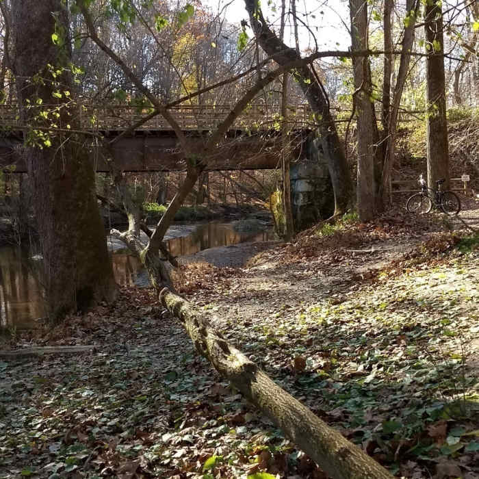
Where the Blue Trail meets the Red Trail at the doggy swimming hole.
Near Orange Trail
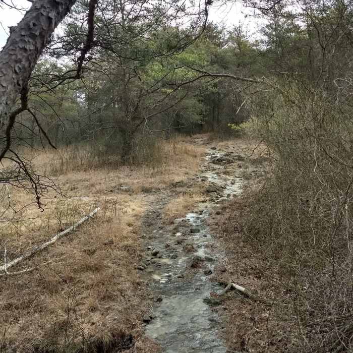
The rocky yellow trail

Looking for more photos?

View All Photos
View Map
Driving Directions
Hike Trail

Orange Trail

3.0 (1 Rating)
A short nature trail through the woods.
0.5
mi
Distance
95
ft
Gain
moderate
Difficulty
BirdingFall ColorsFamily FriendlySpringWildflowersWildlife
Access Issues
Open sunrise to sunset.

Route Details

Flatter
Steeper
0.47mi
Distance
95ft
Elevation Gain
15ft
Elevation Loss
10%
Max Grade
350ft
High Point
245ft
Low Point
Path Type
Point to Point
Description
The northern Orange Trail trailhead is found about 500 feet east of the bridge on the Red Trail. It quickly leads you up into the forest. There will be wildlife, birds, and interesting flora to see during every season. The singletrack trail is hard packed dirt that is full of roots and rock piles, so be mindful of your footing. Sections of the trail can get wet and muddy and you'll also find ice in the winter. The ascent will get your heart pumping, but it is not too challenging. The trail ends when you come to a clearing in the woods and find yourself on the side of Falls Road.

Route Conditions

Report Conditions
No Condition Reports
Report Conditions

Nearby Hike Routes

Tour of Lake Roland

Hike Route

Tour of Lake Roland

Birding
moderate
3.77 mi
+224 ft
Loch Raven Seminary Scenic Loop

Hike Route

Loch Raven Seminary Scenic Loop

Birding
moderate
9.94 mi
+702 ft
Merryman Trail

Hike Route

Merryman Trail

Fall Colors
moderate
8.84 mi
+1,212 ft
Oregon Ridge Logger Trail Loop

Hike Route

Oregon Ridge Logger Trail Loop

Fall Colors
moderate
2.53 mi
+299 ft
Oregon Ridge Park

Hike Route

Oregon Ridge Park

Fall Colors
moderate
4.16 mi
+565 ft
Paper Mill Road Trails at NCR

Hike Route

Paper Mill Road Trails at NCR

Fall Colors
strenuous
3.73 mi
+316 ft
Contributors
Cheryl Ladota
