Near Deer Creek Trail
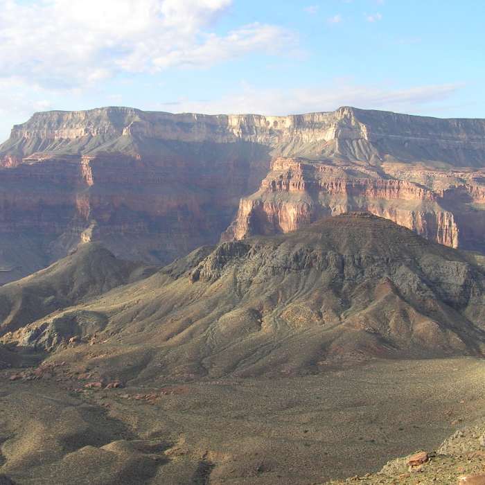
Morning in Surprise Valley (10-02-2011)
Near Deer Creek Trail
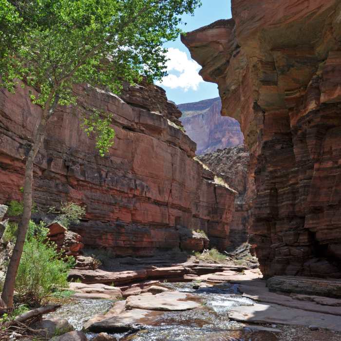
The Canyon shares it magic
Near Deer Creek Trail
Deer Creek Falls
Near Deer Creek Trail
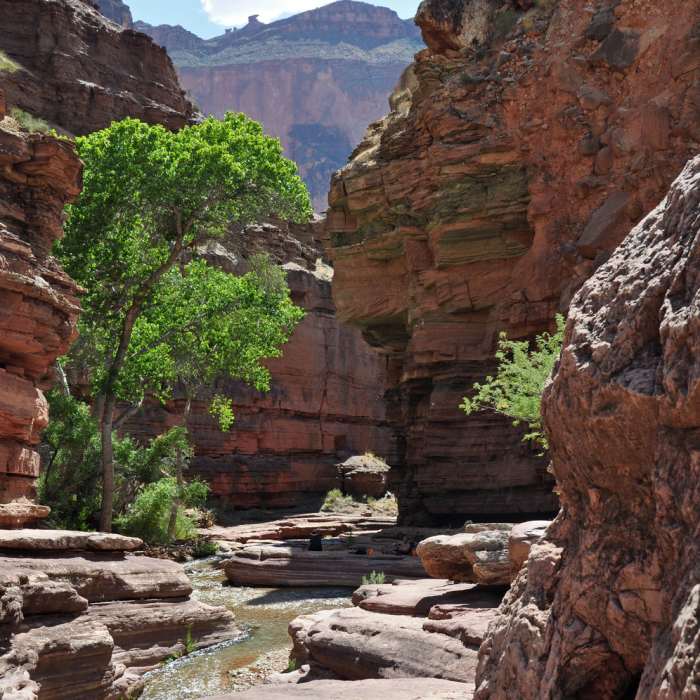
Grand Canyon National Park - Deer Creek.
Near Deer Creek Trail
Grand Canyon National Park - Deer Creek

Looking for more photos?

View All Photos
Driving Directions
Hike Trail

Deer Creek Trail

5.0 (8 Ratings)
The huge outpourings of water in this area have attracted people since prehistoric times.
3.1
mi
Distance
273
ft
Gain
strenuous
Difficulty
BirdingFamily FriendlyRiver/CreekViewsWaterfallWildflowersWildlife
Access Issues
Climbing and/or rappelling in the creek narrows, with or without the use of ropes or other technical equipment, is prohibited. This restriction extends within the creek beginning at the southeast end of the rock ledges, known as the Patio to the base of Deer Creek Falls. The trail from the river to the campsites and points up-canyon remains open. This restriction is necessary for the protection of significant cultural resources.

Route Details

Flatter
Steeper
3.14mi
Distance
273ft
Elevation Gain
2,095ft
Elevation Loss
55%
Max Grade
3,781ft
High Point
1,960ft
Low Point
Path Type
Point to Point
Description
This description starts from the Thunder River trail, at the upper end of Deer Creek Trail: Go west at the trail junction in Surprise Valley for Deer Creek Trail. The trail becomes rocky, loose and somewhat exposed as it descends into the arm of Deer Creek. Deer Spring is a wonderful respite, enjoy the water, and celebrate that camp is only 20 minutes away. Below camp, Deer Creek slides over a promenade known as The Patio before gracefully plunging into the famous Narrows. Carved from the hard, resistant Tapeats Formation, the Narrows are, in a word, enchanting. Entering the narrows below the patio is off limits, but a higher trail on their west side leads to the Colorado River, affording the opportunity to experience one of Grand Canyons most spectacular waterfalls.

Route Conditions

Report Conditions
No Condition Reports
Report Conditions

Nearby Hike Routes

Deer Creek Narrows from the River

Hike Route

Deer Creek Narrows from the River

Family Friendly
moderate
0.52 mi
+152 ft
Deer Creek Trail

Hike Route

Deer Creek Trail

Views
moderate
3.14 mi
+2,095 ft
Thunder River Loop

Hike Route

Thunder River Loop

Cave
strenuous
7.17 mi
+2,683 ft
Tapeats Creek, Thunder River, and Deer Creek

Hike Route

Tapeats Creek, Thunder River, and Deer Creek

Views
strenuous
7.2 mi
+2,689 ft
Tonto Trail West

Hike Route

Tonto Trail West

Views
extreme
46.53 mi
+8,156 ft
South Bass Trail

Hike Route

South Bass Trail

Views
extreme
13.78 mi
+5,106 ft
Contributors
Nicholas Shannon
