Ready to explore this trail?
View Trail Map in AppThe lower end of the trail dead-ends onto the private Triple Hill Road. Access has been restricted in the past, so it's best to check locally to ensure that hasn't changed. If the No Trespassing signs return, you'll have to either backtrack for a mile and turn left (west) on the Pinhoti Trail to cut over to Bear Creek or climb all the way back to FS64.
The section of the Pinhoti Trail between Mountaintown Creek and Bear Creek is closed to bikes.
Path Type
Point to Point
Mountaintown Creek has perhaps the greatest backcountry feel of any of the trails in the !Bear Creek/Pinhoti area. Because of the comparatively severe forest road climb required to access the trail, it doesn't seem to get as much traffic as the others in the area.
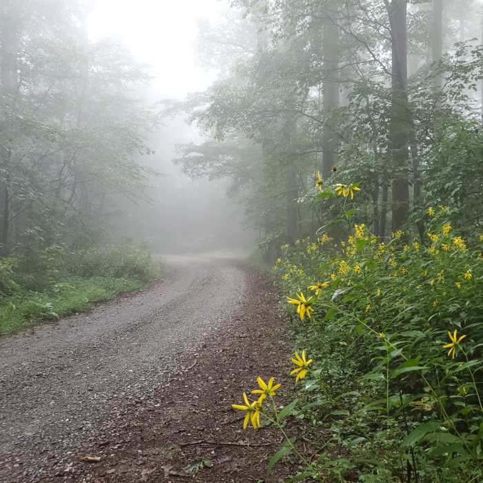
Mountaintown Creek is worth the difficult climb though (or perhaps arrange a shuttle). From the top at Three Forks Road (FS 64), the trail is a singletrack that descends almost continuously until it dead ends at Triple Hill Road (Private), which you'll need to take to get back to Gates Chapel Road.
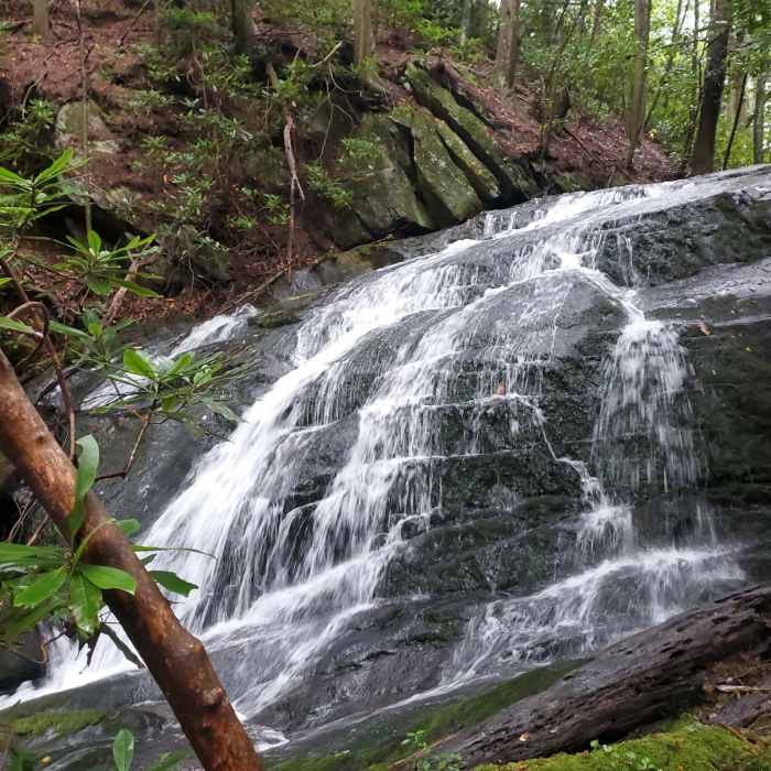
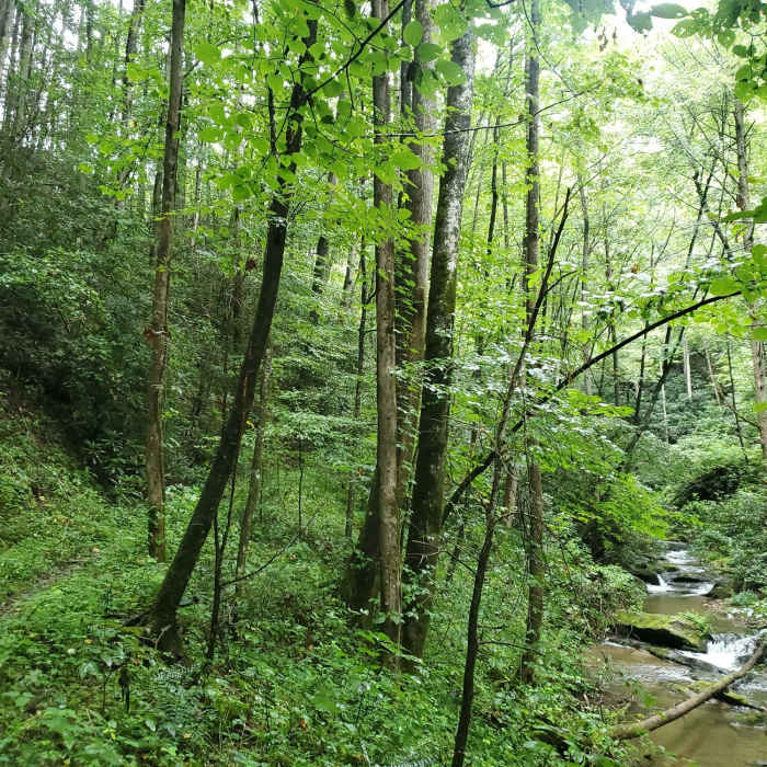
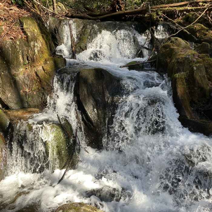
The whole trail never gets more than about 20 feet from Mountaintown Creek; in fact, there are about 20 wet crossings of Mountaintown Creek. Perhaps 2/3 of these are manageable, but do plan on getting your feet wet in at least a few of them. A number of small waterfalls and cascades occur along the length of the trail.
There are some unusually large water bars across the top of the trail. Presumably these were placed to keep out vehicles as the trail follows an old road bed, although this has now essentially become a narrow singletrack. Keep an eye out, as you wouldn't want to trip!
Aside from the creek crossings, the character of the trail is similar to the others in the area: expect lots of root obstacles as you pass beneath dense foliage. Around the two-mile mark, there is a section of trail that descends steeply, is particularly narrow, filled with rocks, with potentially a couple-foot drop down into the creek. However, overall the trail isn't any more technically demanding than any of the other trails in the area. But because the trail is a bit more remote, the consequences of a fall could be greater.
Because this trail doesn't get as much traffic, you're more likely to encounter downed trees and potentially overgrown vegetation. This is particularly true south of the intersection with the Pinhoti Trail at 2.8 miles. Note the trail descends more gradually after this intersection as well.
I will say that Mountaintown Creek is best done as a group hike given the remoteness and because you can let some other poor soul take the lead so they clear out all the spider webs. If it hasn't been traveled in a while, you might find yourself stopping to remove an entire spider web from your face every couple hundred feet.
No Condition Reports
Pinhoti Run (Bear Creek, Pinhoti, Mountaintown Creek)
Pinhoti Run (Bear Creek, Pinhoti, Mountaintown Creek)
Contributors

