
Ready to explore this trail?
View Trail Map in AppPath Type
Point to Point
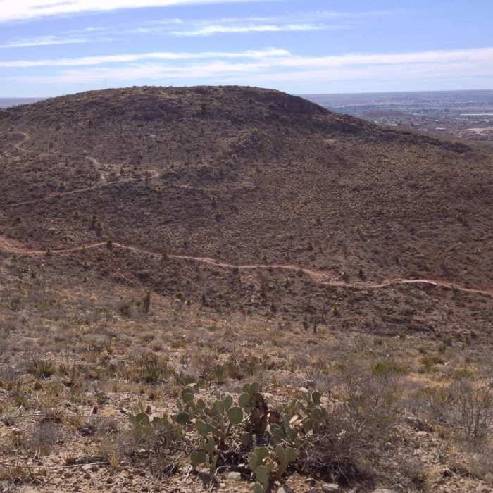
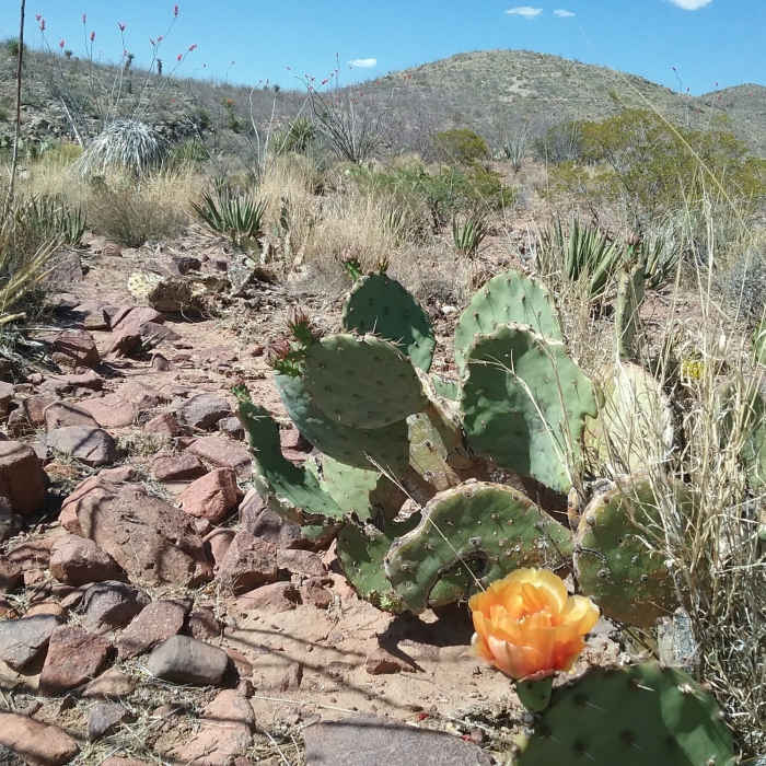
Broke Back, in the center of the Lost Dog area, has it all: a flat section through a desert garden area, followed by a cliffside looking out over the foothills before an undulating climb to a hilltop vista of Texas, New Mexico, and Mexico. The climbs are enough to keep a hike interesting without being inaccessible to less-experienced athletes, and connections can be made to almost any access point of the Lost Dog trail system.
Taking a counterclockwise route, Broke Back begins with a connection from Baby Head. As the initial section of the trail is a new route and somewhat faint, looking for a rock cairn marking the turnoff or following a GPS track may help in locating it. The trail winds toward Broke Back hill directly ahead, making a sharp turn south at the base for a single switchback into a scenic cliffside trail. Keep an eye out for ocotillo branches and rocks laid out to help mark the turn.
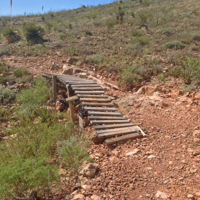
On the north side of the hill, the trail meets two segments leading to North Broke Back with continuing access to the northern trails. Continue south on the hill's west face past a seesaw for mountain bikes, dipping briefly before an easy climb to the top of the hill's southern high point and a nice view of the valley. From here, it is a gradual descent back down to Mayberry, the southern terminus of Baby Head, and La Espina Ledge.
No Condition Reports
Contributors

