Near Dearborn River Trail #206
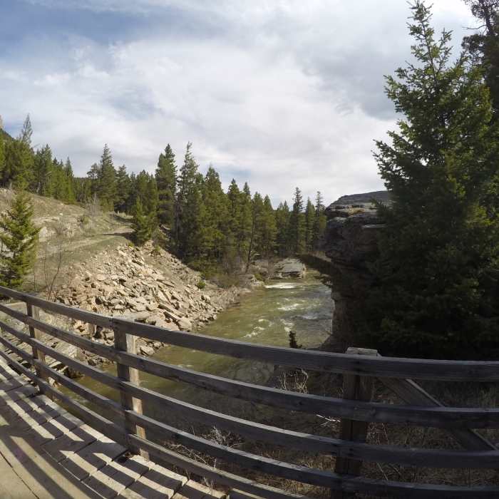
Start of the trail by a bridge crossing the Dearborn River.
Near Dearborn River Trail #206
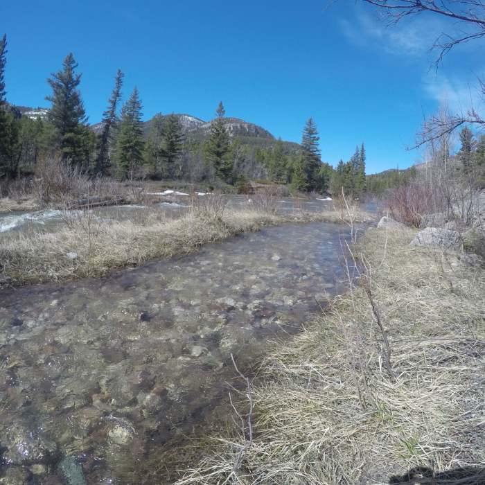
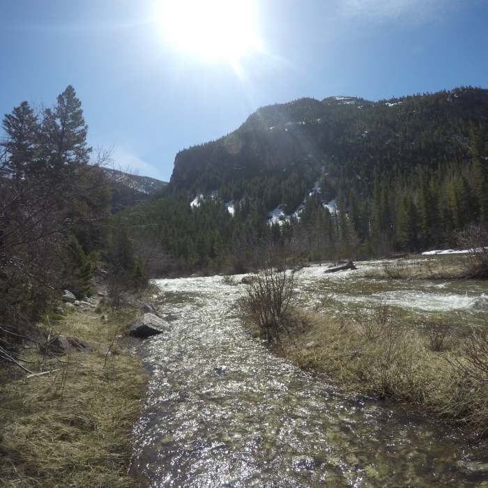
Dearborn roaring in early spring
Near Dearborn River Trail #206
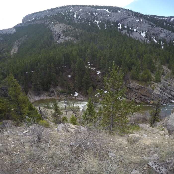
Devil's Glen
Near Dearborn River Trail #206
Devil's Glen

Looking for more photos?

View All Photos
Driving Directions
Hike Trail

Dearborn River Trail #206

4.0 (2 Ratings)
This is a long trail along the Dearborn River.
19.4
mi
Distance
3,537
ft
Gain
moderate
Difficulty
Fall ColorsFamily FriendlyRiver/CreekSpringSwimmingWildlife

Route Details

Flatter
Steeper
19.4mi
Distance
3,537ft
Elevation Gain
836ft
Elevation Loss
25%
Max Grade
7,578ft
High Point
4,829ft
Low Point
Path Type
Point to Point
Description
This trail follows along the Dearborn River. The trail follows the grade of the river about 40 feet above it. It's a sight to see in early spring with all the snowmelt. Also, it can be great for a hot summer day as there are many swimming holes along the way. The trail connects with the CDT midway through, and continues onward to reach the headwaters of the Dearborn River near Halfmoon Peak.

Route Conditions

Report Conditions
Anonymous Adventurer
All Clear
Looking for more condition reports?
View History

Nearby Hike Routes

Montana Trail Section 5

Hike Route

Montana Trail Section 5

moderate
67.52 mi
+13,776 ft
Continental Divide Trail: Straight Creek Alternate

Hike Route

Continental Divide Trail: Straight Creek Alternate

moderate
8.28 mi
+412 ft
Flesher Pass

Hike Route

Flesher Pass

moderate
3.96 mi
+423 ft
The Chinese Wall Loop

Hike Route

The Chinese Wall Loop

Views
extreme
57.5 mi
+5,771 ft
Montana Trail Section 4

Hike Route

Montana Trail Section 4

Views
moderate
55.97 mi
+10,710 ft
Continental Divide Trail: Montana-Idaho Section 24

Hike Route

Continental Divide Trail: Montana-Idaho Section 24

Views
extreme
82.52 mi
+11,347 ft
Contributors
Chris Boise
