Near Snell Trail
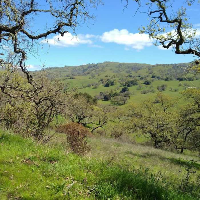
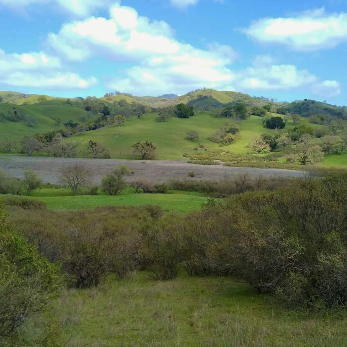
The spring green hills of the Diablo Range are seen across the San Felipe Creek Valley, through a break in the trees along Brush Trail.
Near Snell Trail
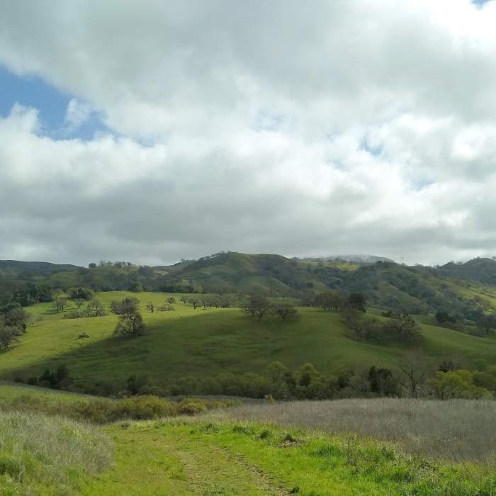
Hills of the Diablo Range to the northeast of Snell Trail. San Felipe Creek is in the valley ahead, and Mt Hamilton, 4,265 ft. center right with snow on it, is hidden in clouds.
Near Snell Trail
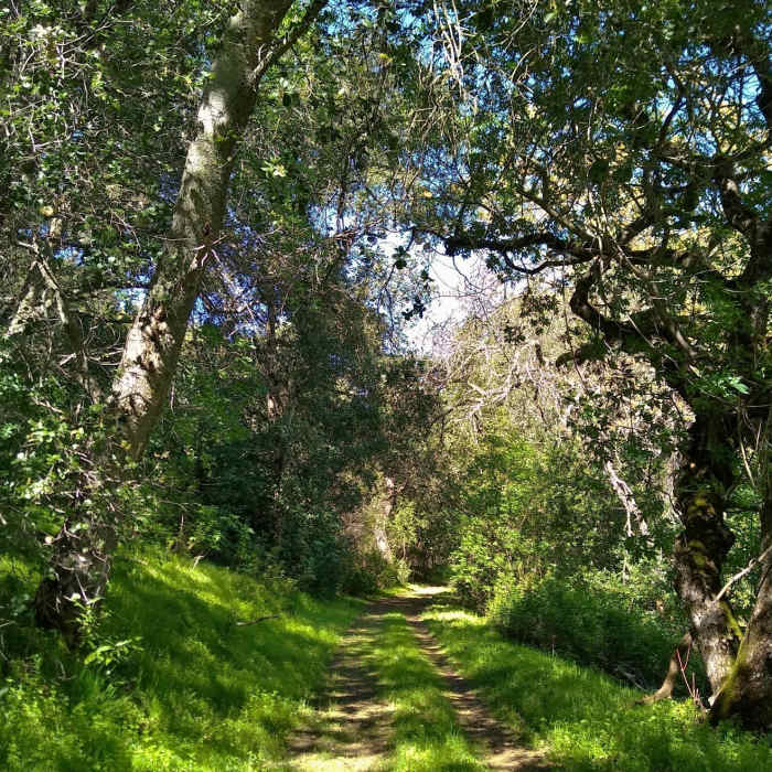
The beautiful thin woods along the northern end of Brush Trail, on a sunny spring day.
Near Snell Trail
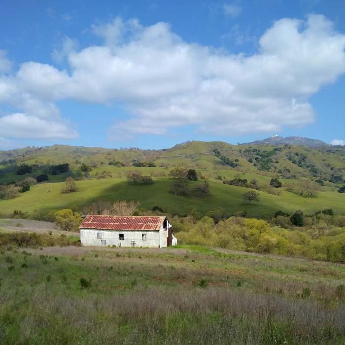
Snell Barn in the Diablo Range hills of Joseph D. Grant County Park. Mt. Hamilton, 4,265 ft., is in the distance toward the right. Lick Observatory can be seen at the top of Mt. Hamilton.
Near Snell Trail
Spring turns the Diablo Range hills green. The San Felipe Creek flows through wetlands in the valley below the hills. Seen looking northeast from Snell Trail.

Looking for more photos?

View All Photos
View Map
Driving Directions
Hike Trail

Snell Trail

3.0 (1 Rating)
Easy trail on the edge of the woods, with open views of the Diablo Range hills.
1
mi
Distance
178
ft
Gain
easy
Difficulty
ViewsWildlife
Access Issues
Open 8am to sunset.

Route Details

Flatter
Steeper
0.96mi
Distance
178ft
Elevation Gain
102ft
Elevation Loss
15%
Max Grade
1,622ft
High Point
1,492ft
Low Point
Path Type
Point to Point
Description
Snell Trail starts at a well marked trailhead sign, at the southwest corner of a large parking area. It begins as a wide asphalt path. One soon comes to a trail fork. Go left at this fork, past a large gate, onto the wide dirt path here, to hike Snell Trail. The right fork, continuing on asphalt, is Amphitheater Trail that takes one to a small rustic amphitheater. Snell Trail is a wide flat trail as it circles around Halley Hill. Initially heading south, the trail passes Barn Trail at the 0.4 mile mark, and then bends west at about the 0.7 mile mark. Lower San Felipe Trail is passed at the 0.9 mile mark just before Snell Trail ends at Brush Trail after a total of about 1.0 miles. The wooded Halley Hill rises gently to the right/west of Snell Trail. To the left/east, the broad, open San Felipe Creek Valley gradually descends to the creek and its wetlands. Across the valley are the rugged, tree studded grass hills of the Diablo Range rising up above 4,000 feet. Mount Hamilton, 4,265 ft., with Lick Observatory on its summit, can be seen on a distant ridge. Truly stunning views here.

Route Conditions

Report Conditions
No Condition Reports
Report Conditions

Nearby Hike Routes

Snell Barn Loop

Hike Route

Snell Barn Loop

Family Friendly
easy
3.36 mi
+261 ft
Grant View Loop

Hike Route

Grant View Loop

Lake
moderate
5.3 mi
+1,182 ft
Rancho San Vicente Loop

Hike Route

Rancho San Vicente Loop

Birding
moderate
8.24 mi
+946 ft
Quicksilver - McAbee Loop CCW

Hike Route

Quicksilver - McAbee Loop CCW

Family Friendly
moderate
4.45 mi
+771 ft
Serpentine Trail

Hike Route

Serpentine Trail

Dogs Allowed
easy
0.62 mi
+234 ft
Quicksilver History Loop

Hike Route

Quicksilver History Loop

Family Friendly
moderate
6.8 mi
+1,358 ft
Contributors
Hiking Project Staff
