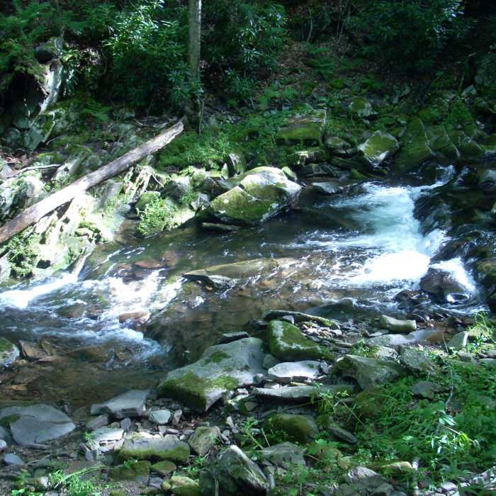
Near Seneca Creek Trail (TR515)
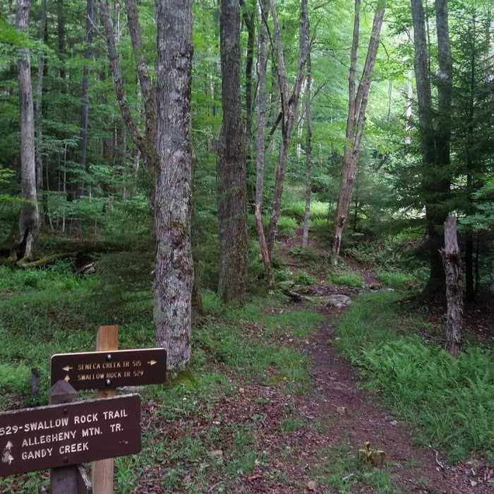
The start of Swallow Rock Trail from Seneca Creek Trail.
Near Seneca Creek Trail (TR515)
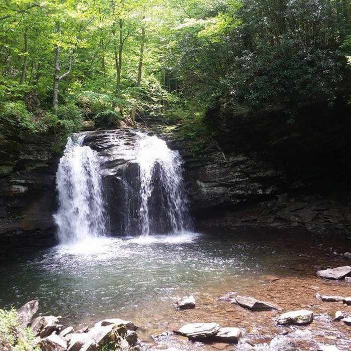
A 30ft waterfall that has a swimming hole under it.
Near Seneca Creek Trail (TR515)
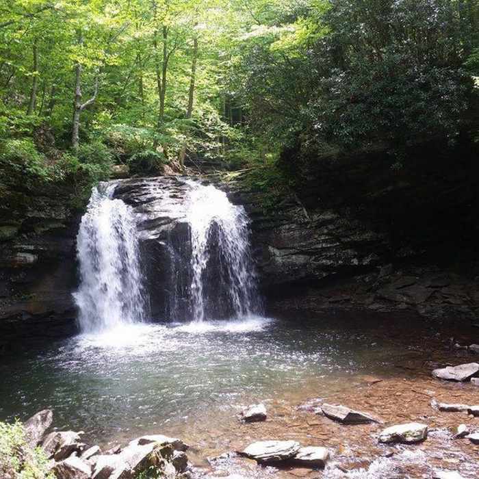
A 30ft water fall that has a swimming hole under it.
Near Seneca Creek Trail (TR515)
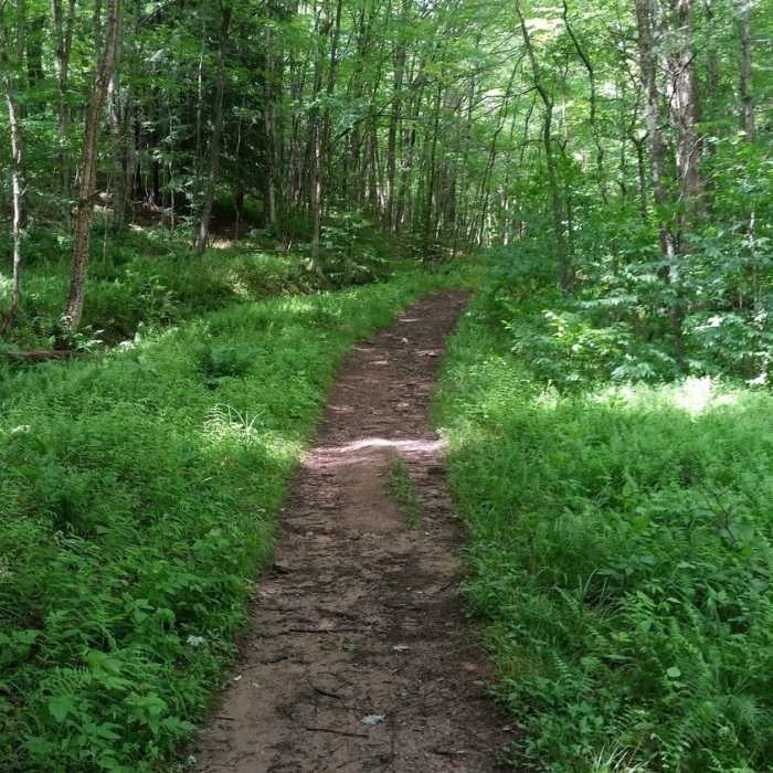
How most of Seneca Creek Trail looks.
Near Seneca Creek Trail (TR515)
Seneca Creek campside.

Looking for more photos?

View All Photos
View Map
Driving Directions
Hike Trail

Seneca Creek Trail (TR515)

4.6 (21 Ratings)
A scenic trail following Seneca Creek at an easy grade.
5.1
mi
Distance
29
ft
Gain
moderate
Difficulty
River/CreekSwimmingWaterfall

Route Details

Flatter
Steeper
5.08mi
Distance
29ft
Elevation Gain
790ft
Elevation Loss
15%
Max Grade
3,885ft
High Point
3,117ft
Low Point
Path Type
Point to Point
Description
Seneca Creek Trail is a great scenic trail following Seneca Creek. There are multiple swimming holes as well as waterfalls next to the trail. It is an old forest road so it stays at an easy grade. The trail remains relatively non-technical besides a few rock clusters and stream crossings towards the waterfall side of the trail. It connects to multiple other trails in the Seneca Creek Backcountry.

Route Conditions

Report Conditions
No Condition Reports
Report Conditions

Nearby Hike Routes

Roaring Plains Circuit

Hike Route

Roaring Plains Circuit

Commonly Backpacked
strenuous
12.35 mi
+2,295 ft
Dolly Sods Circumnavigation

Hike Route

Dolly Sods Circumnavigation

Commonly Backpacked
strenuous
22.89 mi
+2,818 ft
Blackbird/Ridge Loop

Hike Route

Blackbird/Ridge Loop

Fall Colors
moderate
10.23 mi
+1,127 ft
Dolly Sods Challenge Hike - circumnavigation

Hike Route

Dolly Sods Challenge Hike - circumnavigation

Birding
strenuous
26.19 mi
+3,424 ft
Dolly Sods Wilderness

Hike Route

Dolly Sods Wilderness

Fall Colors
moderate
19.26 mi
+1,855 ft
Dolly Sods Wilderness - North Day Loop

Hike Route

Dolly Sods Wilderness - North Day Loop

Fall Colors
moderate
12.06 mi
+1,363 ft
Contributors
Tim Haggerty
