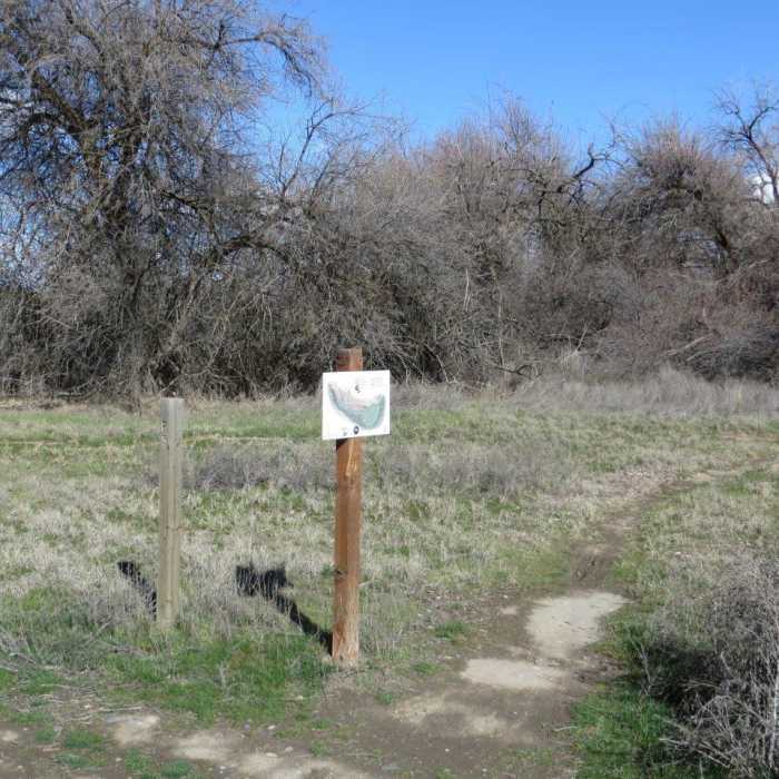
Near Osprey Trail
Post and trail map at the east end of the Red Tail Trail.

Looking for more photos?

View All Photos
View Map
Driving Directions
Hike Trail

Osprey Trail

3.0 (1 Rating)
A short trail through trees providing a nice connection between the Red Tail Trail and Chamna Trail.
0.3
mi
Distance
ft
Gain
easy
Difficulty

Route Details

Flatter
Steeper
0.3mi
Distance
0ft
Elevation Gain
0ft
Elevation Loss
5%
Max Grade
352ft
High Point
346ft
Low Point
Path Type
Point to Point
Description
This trail starts at the east end of the Red Tail Trail (at a post marked P5 and trail map) and ends at the Chamna Trail (trail map located at this end also). This nice connector passes through trees along the north side of an inlet of the Yakima River.

Route Conditions

Report Conditions
No Condition Reports
Report Conditions

Nearby Hike Routes

Badger Mountain - Trailhead Park Loop

Hike Route

Badger Mountain - Trailhead Park Loop

Views
moderate
3.36 mi
+830 ft
Bateman Island Trail

Hike Route

Bateman Island Trail

Birding
easy
1.9 mi
+27 ft
Badger Mountain Trailhead

Hike Route

Badger Mountain Trailhead

Dogs Allowed
easy
2.58 mi
+803 ft
Audubon Trail Loop

Hike Route

Audubon Trail Loop

Birding
easy
0.79 mi
+0 ft
Dr. Rod Coler Audubon Nature Trail

Hike Route

Dr. Rod Coler Audubon Nature Trail

easy
2.12 mi
+0 ft
Burbank Slough Wildlife Trail

Hike Route

Burbank Slough Wildlife Trail

Views
easy
2.04 mi
+14 ft
Contributors
Dirk Peterson
