Near Trail M - Sheepnose Mountain
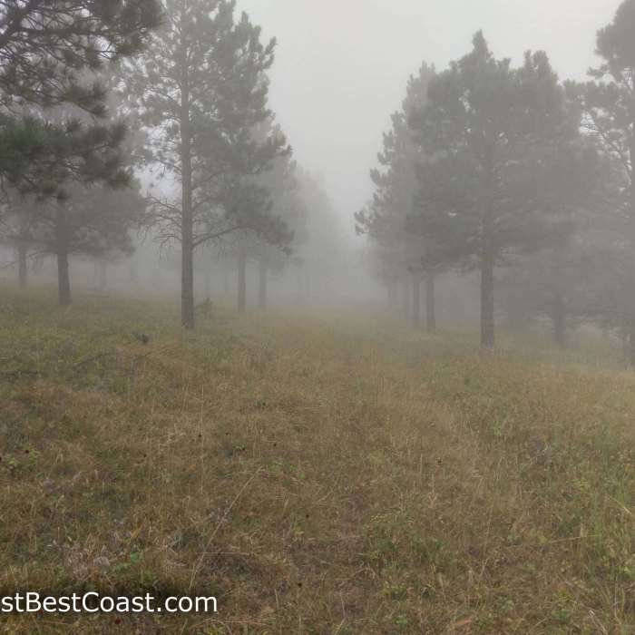
Foggy day on the trail to Sheepnose Mountain
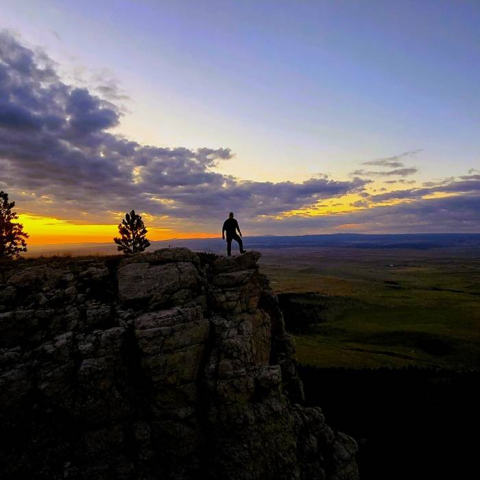
Near Trail M - Sheepnose Mountain
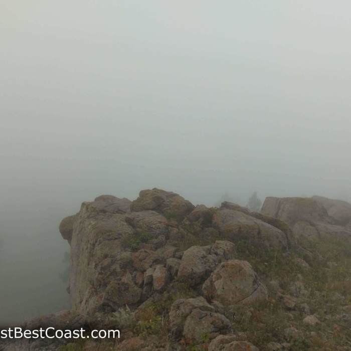
Fog at the summit of Sheepnose Mountain
Near Trail M - Sheepnose Mountain

Looking for more photos?

View All Photos
View Map
Driving Directions
Hike Trail

Trail M - Sheepnose Mountain

3.7 (3 Ratings)
A out and back with the stunning view of the northern hills and the South Dakota plains.
2.2
mi
Distance
249
ft
Gain
moderate
Difficulty
Less CrowdedViews

Route Details

Flatter
Steeper
2.22mi
Distance
249ft
Elevation Gain
300ft
Elevation Loss
20%
Max Grade
5,830ft
High Point
5,576ft
Low Point
Path Type
Point to Point
Description
This trail begins off the Sheepnose trailhead off of Forest Service road 830 -- this road is rough and narrow and high clearance is recommended, though it is possible in a passenger car if you go excruciatingly slow. It primarily a two track road in the beginning that narrows to singletrack the farther it goes in. It's predominately used by hikers and equestrians. It provides some complete solitude being so far back into the Bearlodge Ranger District. There are no higher summits to the east of the mountain, so it has some fantastic vistas from the top that a camera cannot capture. In the off chance you'll encounter Mountain Lion, Bobcat, Eagles, Falcons, Turkeys, Rough Grouse, Mule and Whitetail Deer, and Elk among many other creatures. The Forest Service leases this land as pasture to ranchers, so you may encounter cows along the drive and while on the trail.

Route Conditions

Report Conditions
Anonymous Adventurer
All Clear
Looking for more condition reports?
View History

Nearby Hike Routes

Dugout Gulch Botanical Trail #77

Hike Route

Dugout Gulch Botanical Trail #77

Fall Colors
strenuous
10.64 mi
+1,264 ft
Tower Trail

Hike Route

Tower Trail

Family Friendly
easy
1.38 mi
+165 ft
Crow Peak Trail (#64)

Hike Route

Crow Peak Trail (#64)

Fall Colors
moderate
6.31 mi
+1,607 ft
Big Hill Trail Outer Loop

Hike Route

Big Hill Trail Outer Loop

Fall Colors
moderate
11.62 mi
+1,479 ft
Roughlock Falls Trail

Hike Route

Roughlock Falls Trail

Dogs Allowed
easy
1.09 mi
+107 ft
Community Caves Trail

Hike Route

Community Caves Trail

Cave
strenuous
0.22 mi
+164 ft
Contributors
Adrian Whitmore
