Ready to explore this trail?
View Trail Map in AppBefore the start is Big Elk YMCA camp. Please be considerate when passing through. During the summer, camps and/or events may be going on. If possible, come/go early in the day. This is Forest Service leased ground and the FS is the land manager, so even though there is a gate, you can pass through on foot. Do not interfere with camp property. After crossing the gate and bridge, take the dirt road immediately to your left and follow it up to the trailhead. This will bypass most of the camp.
Path Type
There and Back
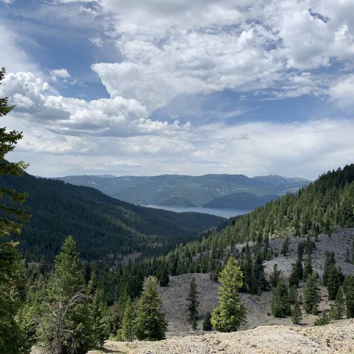
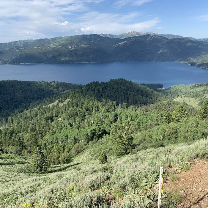
Starting at the Big Elk trailhead parking lot, you'll need to pass through the Big Elk YMCA Camp (see Access Issues for more info) to get to the Quaker Flat trailhead. The first mile is steep and you climb over 1,200 feet in thick tree/brush overgrowth. With only a short flat section at the head of Booth Canyon, you'll turn east and start climbing again for another 800 feet before you crest out with fantastic views of the Palisades Reservoir.
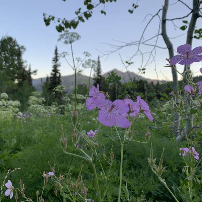
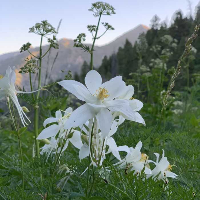
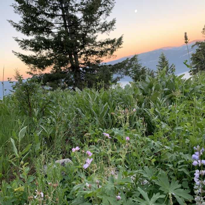
After the 2 mile mark, you'll make your way back into the forest. Soon the quaky aspens start to appear and the terrain is as wonderful as any wild garden. Time the flowers right and you'll have picture-perfect sunrise/sunset backdrops. Mt. Baird can be seen in the distance to the north at this point, until you start a steep downhill section towards Blowout Canyon Trail.
Please note there is no water access in Blowout Canyon (or anywhere along this trail) and it can get very hot during the afternoon in the scree/boulder fields. It is easier to start at the YMCA camp and climb up the first mile than to come down it.
No Condition Reports
Contributors

