Near Gallatin River Trail #137
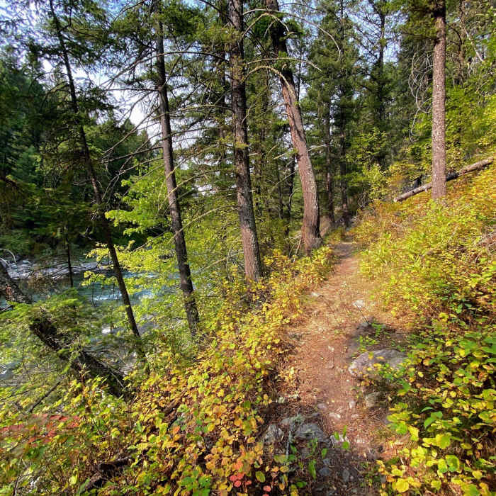
The undergrowth showing fall colors as the trail twists up the hill.
Near Gallatin River Trail #137
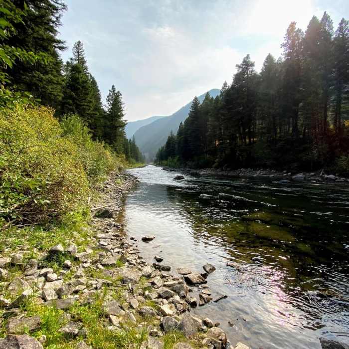
Glassy waters on the Gallatin River.
Near Gallatin River Trail #137
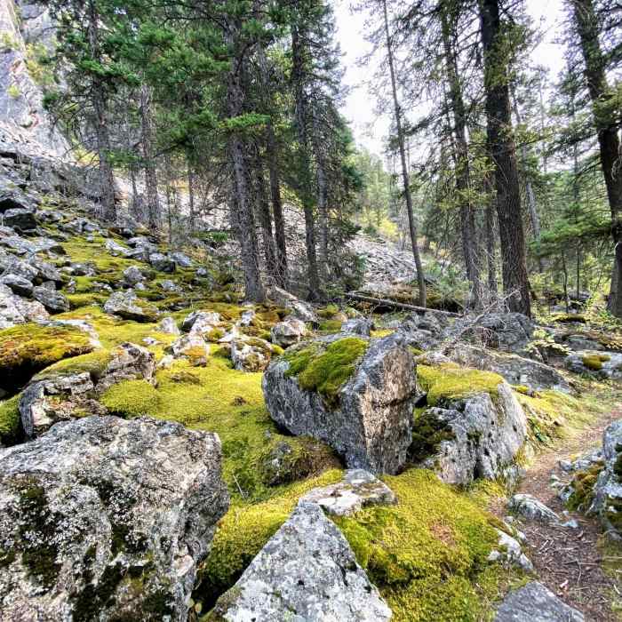
Mossy boulders along the trail.
Near Gallatin River Trail #137
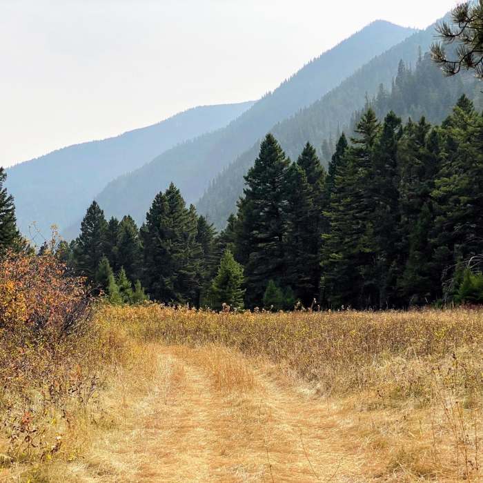
Smoky day in Gallatin Canyon.

Looking for more photos?

View All Photos
Driving Directions
Hike Trail

Gallatin River Trail #137

4.0 (2 Ratings)
A pretty river trail largely used for climbing access.
2.5
mi
Distance
301
ft
Gain
moderate
Difficulty
BirdingFishingRiver/CreekWildflowers

Route Details

Flatter
Steeper
2.48mi
Distance
301ft
Elevation Gain
234ft
Elevation Loss
40%
Max Grade
5,600ft
High Point
5,403ft
Low Point
Path Type
Point to Point
Description
Starting from the parking lot you can either tuck under the bridge or shoot across the road. Unfortunately that road noise will be with you for the whole trail The trail starts as a flat jeep trail before it quickly drops down along the river. From here the trail is characterized by occasional smooth trail while alternatively running through heavily uneven, rocky terrain. The first 1.2 miles of the trail are obvious because of heavy climber traffic, but after this there are fallen logs and some backtracking. Eventually you make an open field, where the trail runs along a utility access road until it turns right and ends at Garnet Mountain Trail (85) .

Route Conditions

Report Conditions
No Condition Reports
Report Conditions

Nearby Hike Routes

Lava Lake Trail

Hike Route

Lava Lake Trail

Birding
moderate
5.29 mi
+1,646 ft
Lava Lake

Hike Route

Lava Lake

Lake
moderate
5.48 mi
+1,693 ft
Hell Roaring Creek Trail CE

Hike Route

Hell Roaring Creek Trail CE

Birding
extreme
21.65 mi
+5,458 ft
Storm Castle

Hike Route

Storm Castle

Geologically Significant
moderate
4.61 mi
+1,921 ft
Storm Castle Peak

Hike Route

Storm Castle Peak

Views
moderate
2.31 mi
+1,923 ft
Deer Lake

Hike Route

Deer Lake

Lake
strenuous
5.93 mi
+3,323 ft
Contributors
Russell Hobart
