Size
453ac
Boat Launch
Carry-in Launch
Toilet
No
Boat Dock
Species in Totagatic Flowage
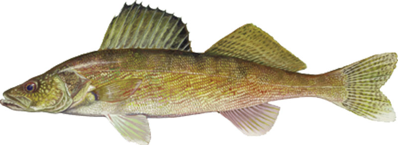
Walleye
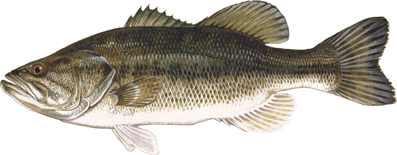
Largemouth bass
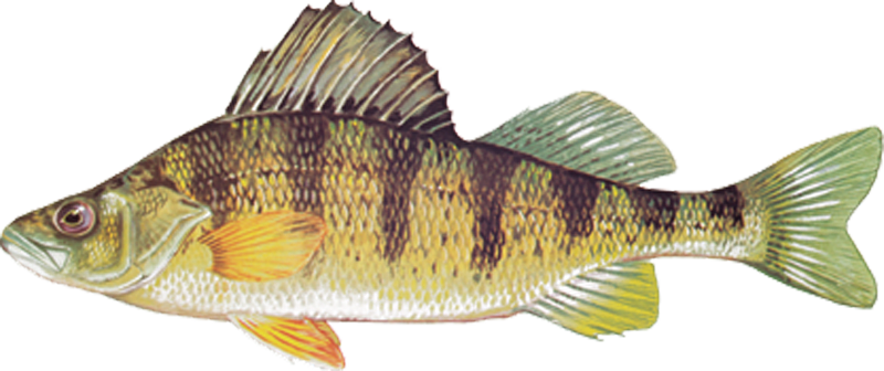
Perch
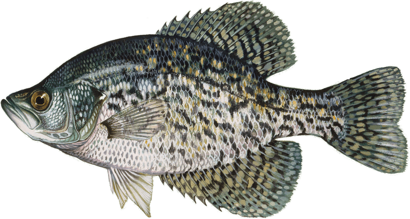
Crappie
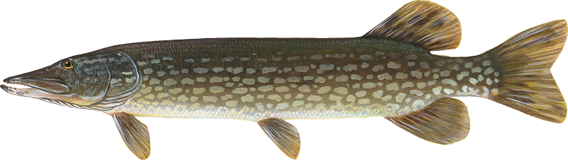
Northern pike
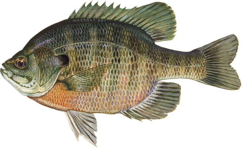
Bluegill
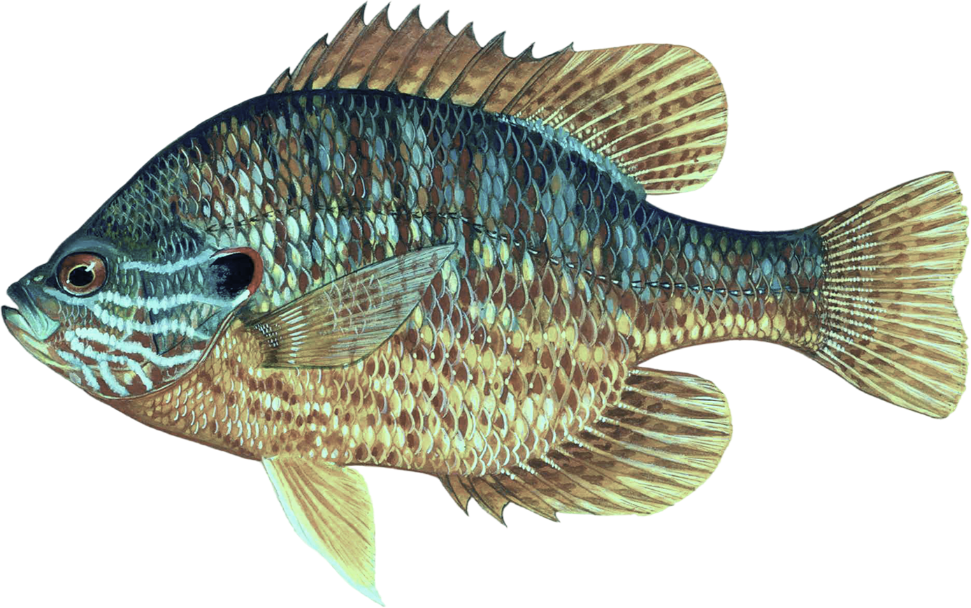
Pumpkinseed
Overview
Outstanding bluegill and walleye action. Weeds, bogs, cribs and river channels offer countless angling opportunities including crappie and northern pike.
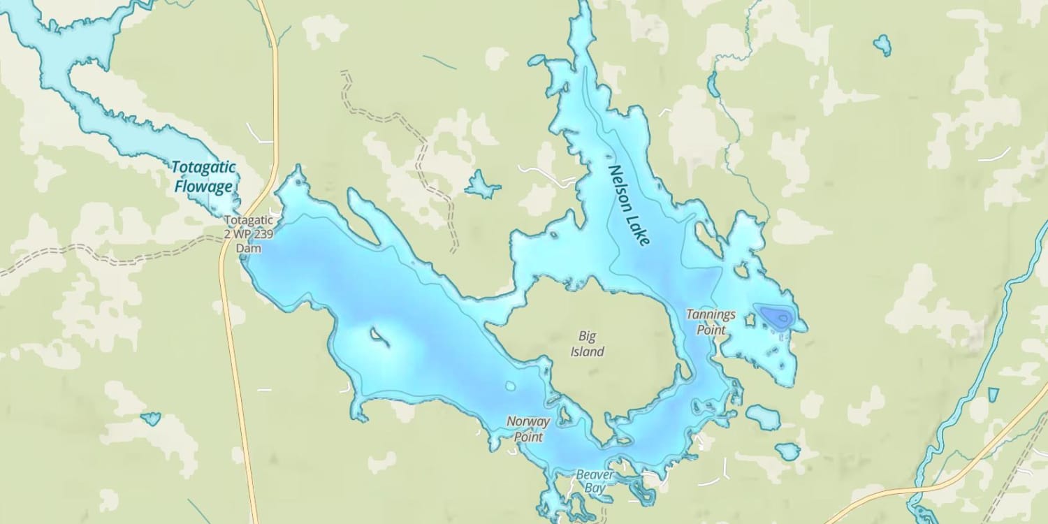
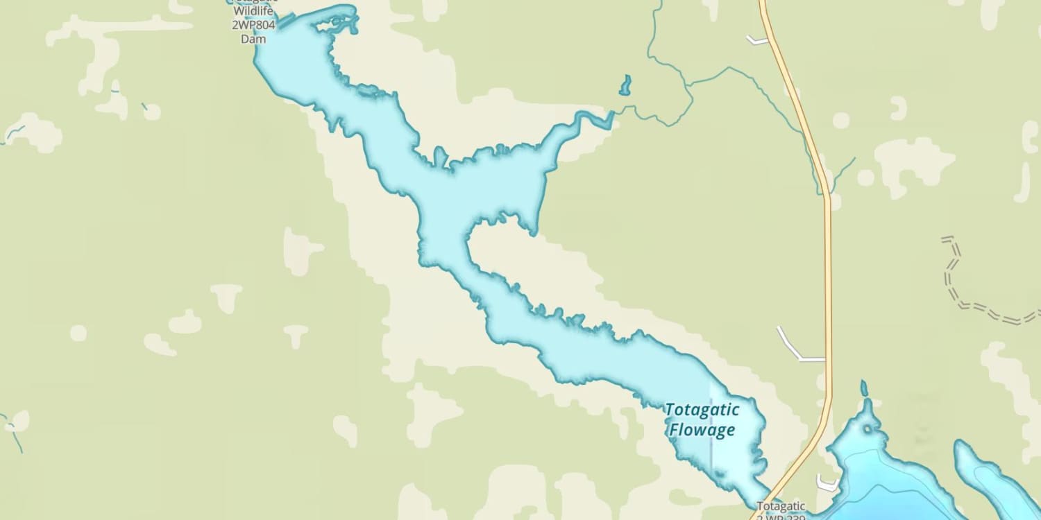
Totagatic Flowage Map
Features
Nelson Lake was created in 1937 with the damming of the Totogatic River. This well-known lake and the surrounding area offer a variety of accommodations for anglers.
Many areas f the lake contain stumps and submerged wood that can hinder navigation. The north end of the lake near the inlet can be especially dangerous.
The lake association has marked many of the shallow rock reefs with buoys and placed a number of navigational beacons around the lake to aid navigation. Several of the smaller bays are posted as no-wake areas.
Forward motor tolling is permitted on Nelson Lake.
Forage
Logperch, sucker, golden shiner, crayfish and common shiner provide the primary forage. Walleye prey extensively on young-of-the-year crappie and bluegill. Panfish and gamefish also utilize mayfly larvae.
Seasonal Movements
There is a significant movement of spawning walleye up the Totogatic River in early spring. Walleye also spawn on the rock and riprap near the dam and along some shoreline stretches.
![]()
Get Your Line in the Right Water
Quickly find the best places to fish and plan your day right.
Top Fish Species
Walleye
15-16 in
Length Range
16 in
Length Range
2014
Surveyed
Abundance (CPUE)

Understanding Abundance
Abundance ratings are based on Catch Per Unit Effort (CPUE) measurements conducted by the MN DNR, and represent a snapshot of a species population at a given point in time
Source: Minnesota Department of Natural Resources. Survey cadence may vary by state and water body.Species Lengths
2014
Jul