Size
NA
Boat Launch
Carry-in Launch
Toilet
No
Boat Dock
Species in Durgens Creek
Overview
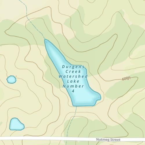
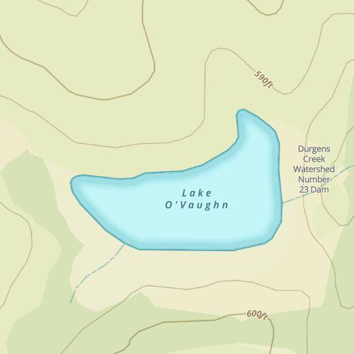
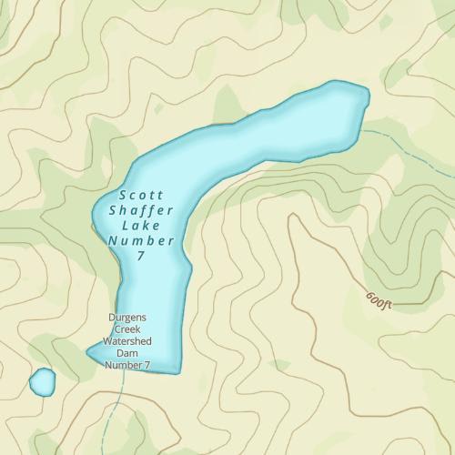
Durgens Creek Map
Features
From Lock and Dam No. 20 in Canton, MO to the town of Quincy, IL, and Lock and Dam No. 21, the Mississippi River travels 18.3 miles and boasts a great fishery for many different species of fish. The flat land that run along the river are very different than the rock bluffs of the northern parts of the river, but this stretch has plenty of undeveloped backwaters that provide beautiful scenery and good fishing. The miles of backwaters down the Illinois shore, allows recreational boaters to get away from the traffic of the main river channel. Commercial fishing boats and barges use the main river channel year round, and traffic can be heavy at times. Only two bridges cross the river in Pool 21; the Bay Bridge and the Quincy Memorial Bridge. Both of which are located in Quincy, IL. There is also the Canton Ferry Crossing that transports cars across the river in the town of Canton, MO.
Forage
Gizzard shad is the most abundant forage species for most fish on the river. Along with shad, there are 20 some species of minnows and shiners that provide additional forage. Bluntnose minnows, bullhead minnow, emerald shiner, river shiners, spotfin shiner and are just a few. Bluegills, drum and carp also account for a small percentage of forage for larger fish.
Seasonal Movements
Sauger, walleye and white bass make upstream spawning migrations. Sauger and walleye will often collect in the tailwater just below Dam No. 20 during the spring. White bass relate to the same tailwaters, but about 3 to 4 weeks after the walleye and sauger make their run. Smallmouth bass will spawn in the spring in shallow water usually near rocky or riprap shorelines.
![]()
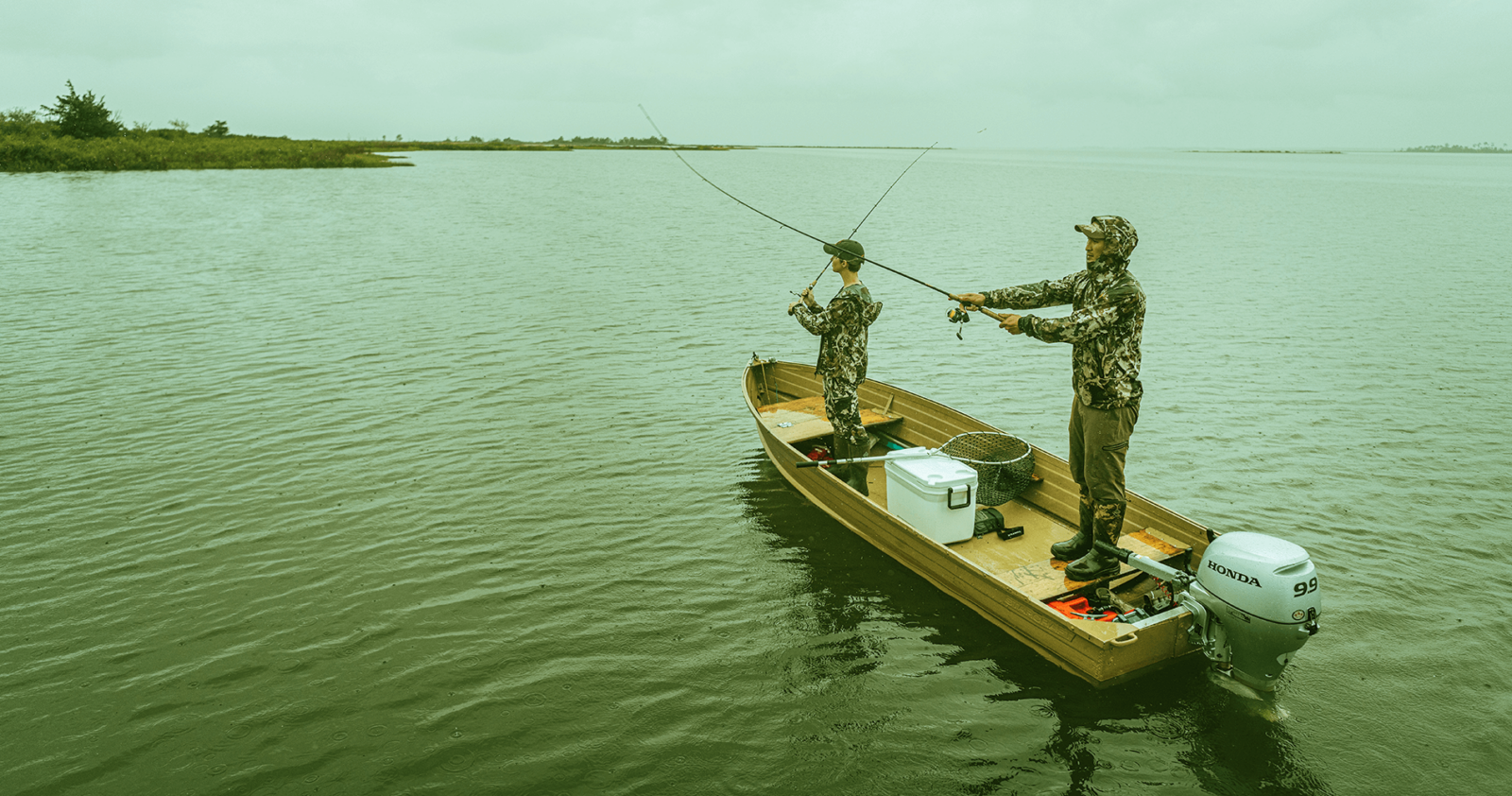
Get Your Line in the Right Water
Quickly find the best places to fish and plan your day right.
Top Fish Species
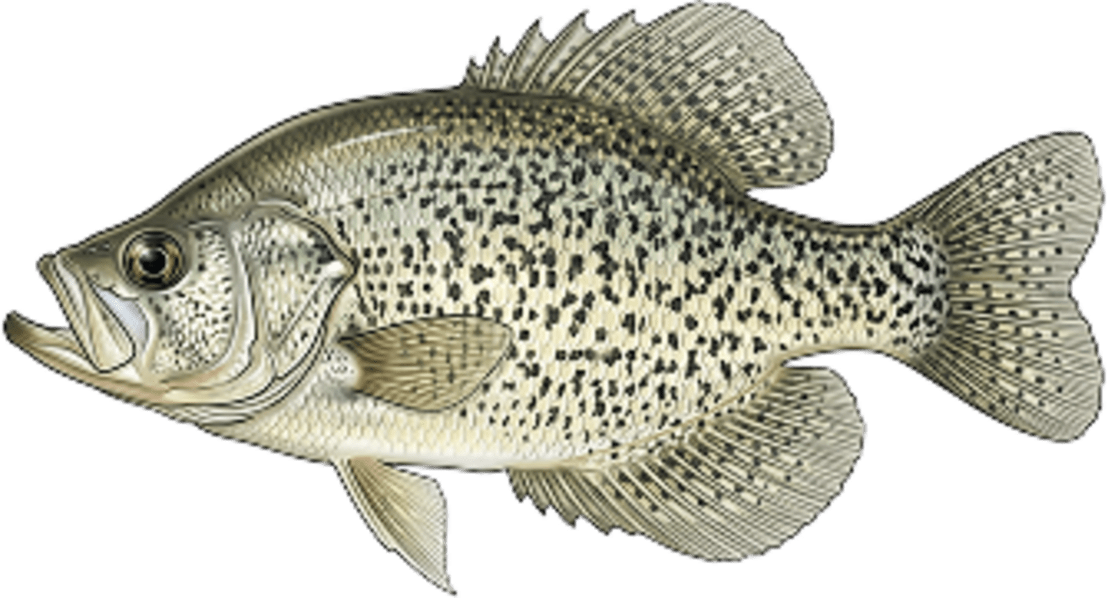
Crappie
No survey data
Abundance (CPUE)

Understanding Abundance
Abundance ratings are based on Catch Per Unit Effort (CPUE) measurements conducted by the MN DNR, and represent a snapshot of a species population at a given point in time
Source: Minnesota Department of Natural Resources. Survey cadence may vary by state and water body.Species Lengths