Size
NA
Boat Launch
Carry-in Launch
Toilet
No
Boat Dock
Species in Lynn Creek
Overview
The state's second largest lake, widely known for exciting spring walleye runs. Good numbers of white bass and crappie offer steady action. Muskie, bass and pike also available..
Lynn Creek Map
Features
Petenwell flowage was created in the late 1940’s and became the second largest inland lake in Wisconsin. The dam that blocks the Wisconsin River to form the Petenwell Flowage was created to provide hydroelectric power and flood control.
Petenwell is heavily used for many recreational activities such as: boating, fishing, swimming, hunting and canoeing/kayaking. The flowage provides many opportunities for shore anglers at a variety of locations. The Petenwell Flowage has an annual catch and release muskie tournament founded by Todd Forcier and has also hosted bowfishing tournaments for rough fish.
Stumps, submerged timber and shallow water make parts of the flowage difficult to navigate. Many of these hazards are not marked on this map or with buoys. Careful navigation should be used, especially in the upper third of the flowage.
A navigational channel is marked with buoys from Browns Creek outlet area downstream to Yellow Banks and from Devils Elbow to the Wisconsin River channel. Buoys have also been placed along the edge of Strongs Prairie Flats to indicate the shallow and dangerous area east of the buoys.
Almost the entire shoreline of Petenwell is open to public use, with a few exceptions. The public access is from the shoreline back 100 feet. This strip is marked with signs and has walking trails. The exceptions to public access are well marked.
Forage
Small suckers and other small rough fish are heavily preyed upon by muskie. Biologists believe the recent unwanted addition of freshwater drum may also provide a food source for large game fish in the future. Young panfish and white bass are food sources for many game species. Emerald shiner, bluntnose minnow, and log-perch make up the diets for a variety of species.
Seasonal Movements
Walleye congregate below the Nekoosa Dam on the Wisconsin River from mid-March through April to spawn. Creek inlets that have adequate water flow will also attract spring walleye. A second migration of walleye to the Nekoosa Dams also occurs in late September and October. Better foraging is the primary reason for the second migration. White bass will be concentrated below the Nekoosa Dam during mid-May until the end of June.
Weather

56°Feels like 56° --
-- 53°
53°

--53°--
--

4 mph
Southeast

0 in
Rain

30.04 inHg
Stable
FridayFr
-- / 53°

SaturdaySa
82° / 56°
SundaySu
80° / 61°

MondayMo
78° / 51°
TuesdayTu
64° / 41°

WednesdayWe
63° / 43°
Moon Phase

October 10, 2026
0% Illumination
new moon


SaturdaySa10/10

SundaySu10/11
MondayMo10/12
TuesdayTu10/13
WednesdayWe10/14
ThursdayTh10/15
FridayFr10/16
Get Your Line in the Right Water
Quickly find the best places to fish and plan your day right.
Top Fish Species
Crappie
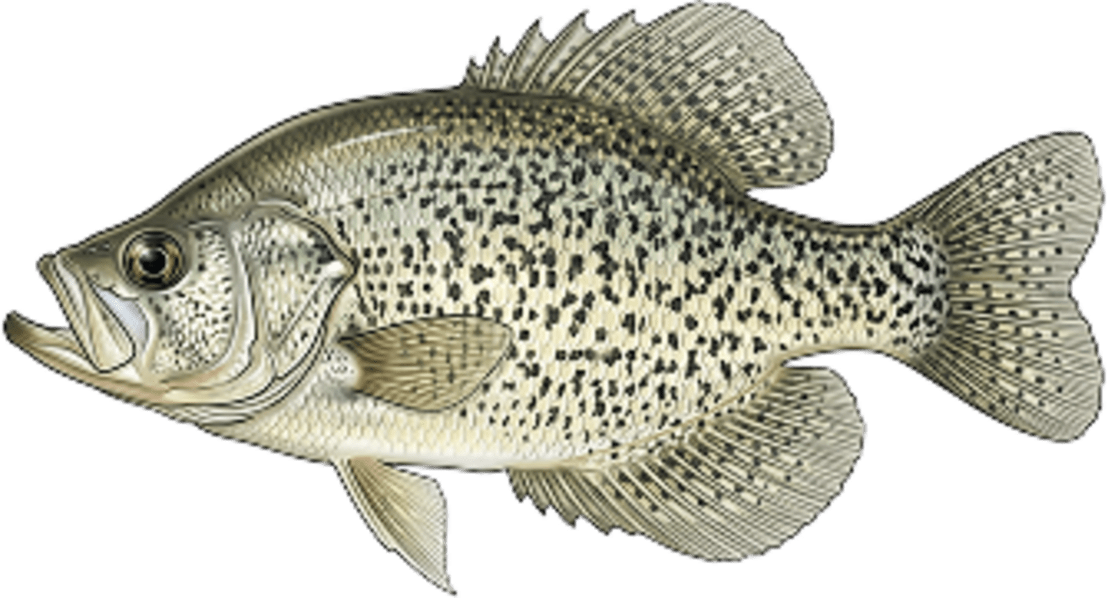
No survey data
Abundance (CPUE)
Understanding Abundance
Abundance ratings are based on Catch Per Unit Effort (CPUE) measurements conducted by the MN DNR, and represent a snapshot of a species population at a given point in time
Source: Minnesota Department of Natural Resources. Survey cadence may vary by state and water body.Species Lengths