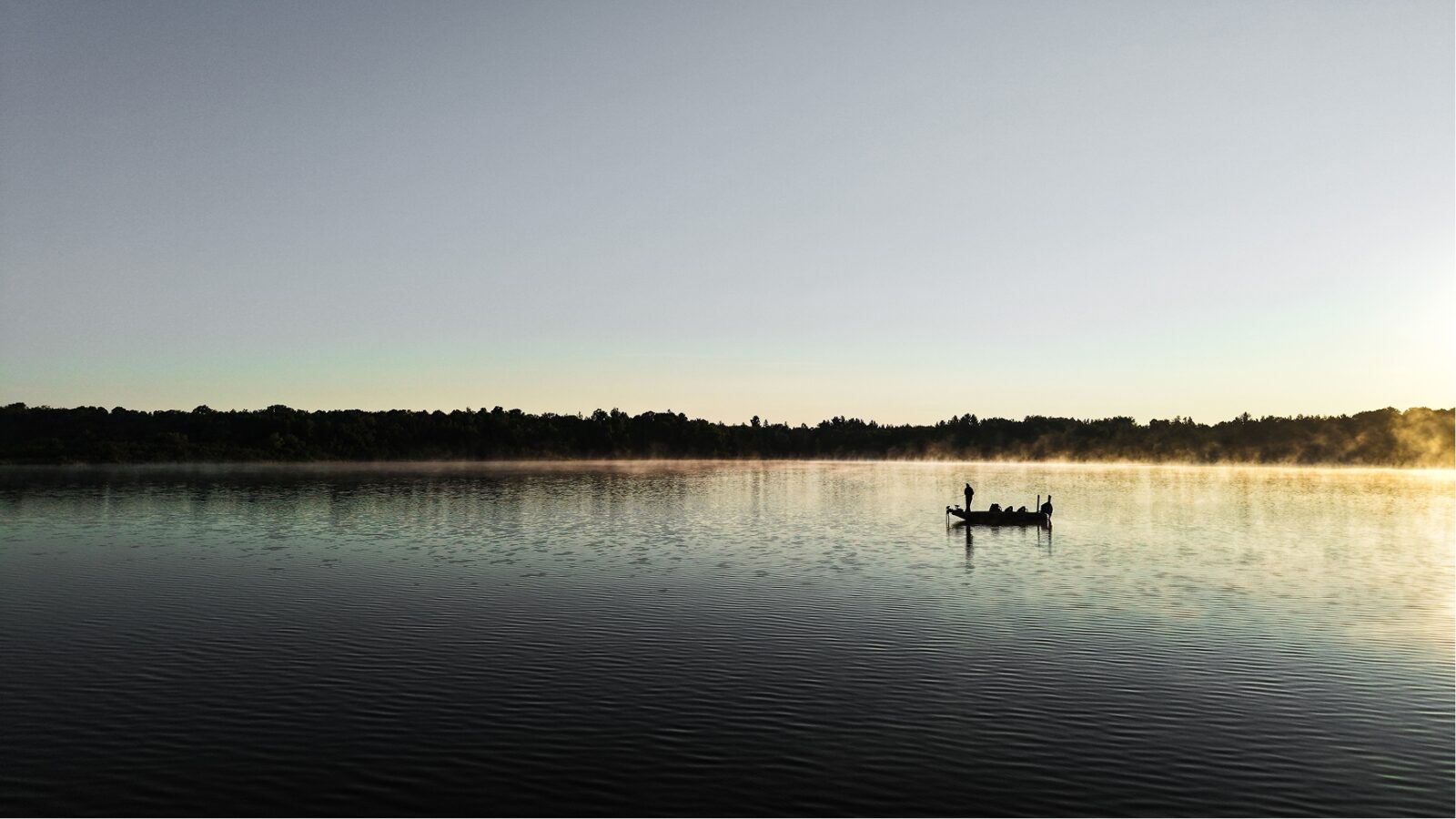

The Fishing App To Find New Lakes
onX Fish Midwest gives anglers the confidence to explore new opportunities they never knew existed.
Available on iOS and Android
Introducing onX Fish Midwest
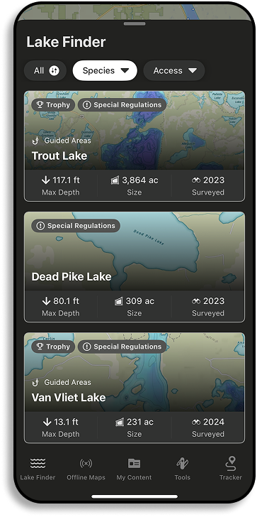
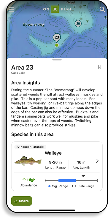
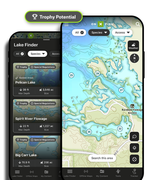
You know what you’re looking for, use onX Fish’s powerful filtering tool to get you there fast. Set your search by species, trophy potential, keeper potential, and high abundance and find new places to fish without worrying about wasting a day on the water.
onX Fish Midwest is currently available in the following states: Minnesota, Wisconsin, Michigan, North Dakota, South Dakota, Indiana, Ohio, Illinois, Iowa, Missouri, and now Montana—and we’ll be adding more states throughout the year.

Find, Filter, Fish.

Cast Beyond the Familiar
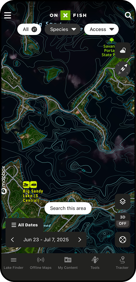
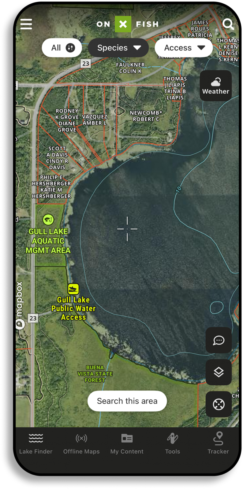
Find your next new spot—and the one after that—with powerful planning tools that take the guesswork out of finding new places to fish. Search and filter lakes by species, size, and abundance, plus get local details and background info so you can show up with a plan A, and as many backup plans as you want.
Know Before You Go.


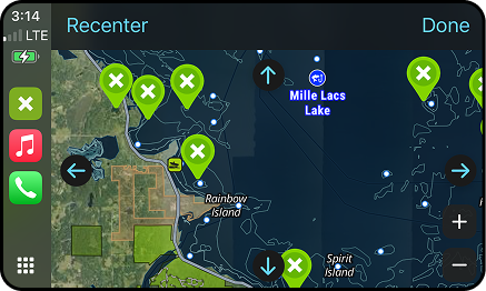
Point the Way With CarPlay
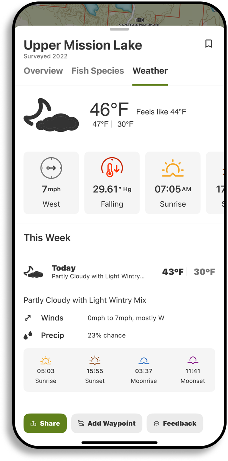
With full CarPlay functionality, you can take onX Fish with you every mile from garage to boat ramp. Use Tracker to navigate in-dash to and from your spot, even after dark or in bad weather. Take your day’s plan and seamlessly transition from in the dash to on the water.
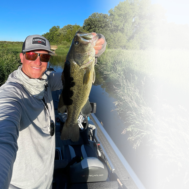
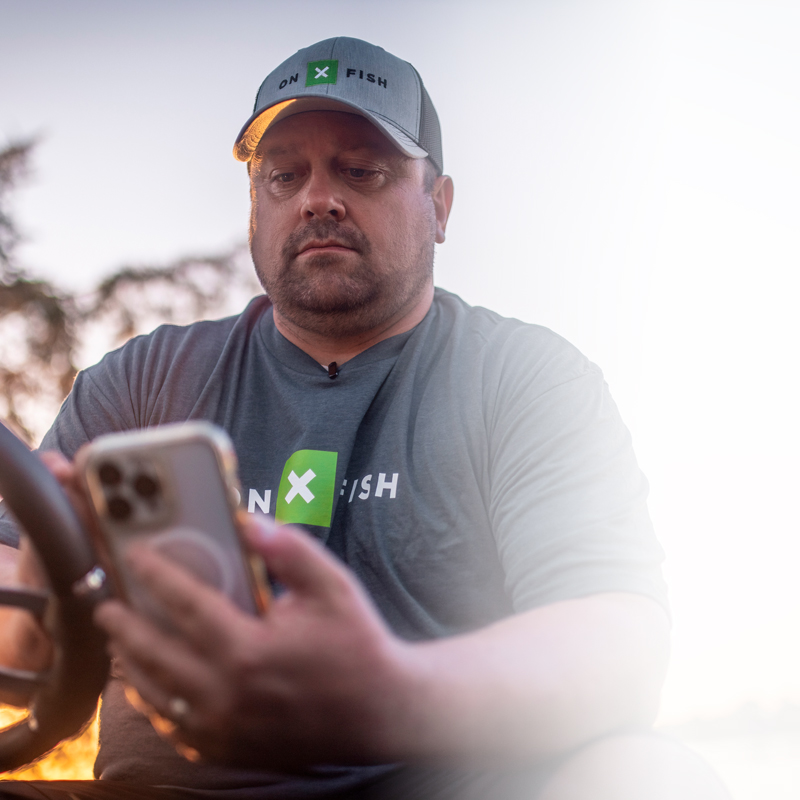
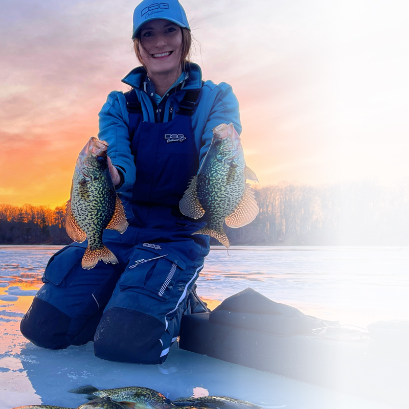
The Pros All Agree
The Midwest’s best trust onX Fish.
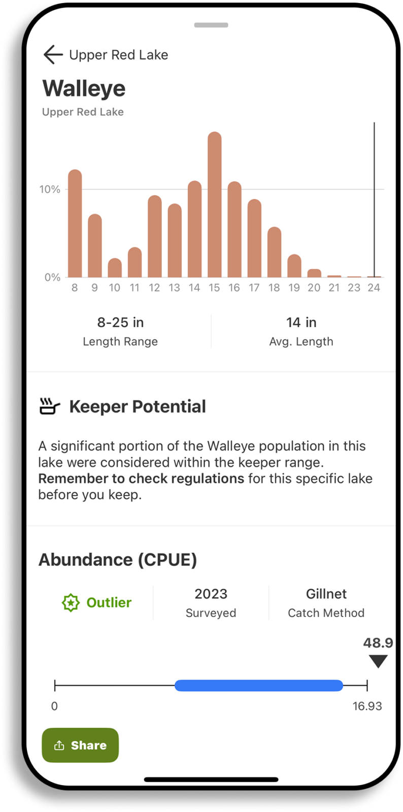
Sign up for a 7‑day free trial to unlock lake and species filters, Species Abundance Insights, Offline Maps, and so much more for successful summer fishing.
What Anglers Are Saying
Great Resource!
I’ve played with this app quite a bit since launch. The interface is excellent, clean and easy to use. It’s been awesome for scouting out new lakes, and also saving spots where I’ve found fish. I’d definitely rec…
Read more
I’ve played with this app quite a bit since launch. The interface is excellent, clean and easy to use. It’s been awesome for scouting out new lakes, and also saving spots where I’ve found fish. I’d definitely recommend spending a little time with it if you’re an angler in MN.
Great App
The best “one stop shop” app for researching fisheries, e-scouting, and preparing for a fishing trip.
The best “one stop shop” app for researching fisheries, e-scouting, and preparing for a fishing trip.
It’s an all inclusive fish scouting experience
This app has completely transformed how I plan my fishing adventures. With the ability to filter by species, trophy potential, and abundance, finding the perfect fishing spot has never been easier … If you’re serious…
Read more
This app has completely transformed how I plan my fishing adventures. With the ability to filter by species, trophy potential, and abundance, finding the perfect fishing spot has never been easier … If you’re serious about fishing, this app isn’t just A game-changer it is THE game-changer!
$34.99/yr
- Premium Filters, Including Trophy, Potential, and Abundance
- Species and Area Insights
- Offline Maps
- Customizable Waypoints With Optimal Wind
- Private Land Details
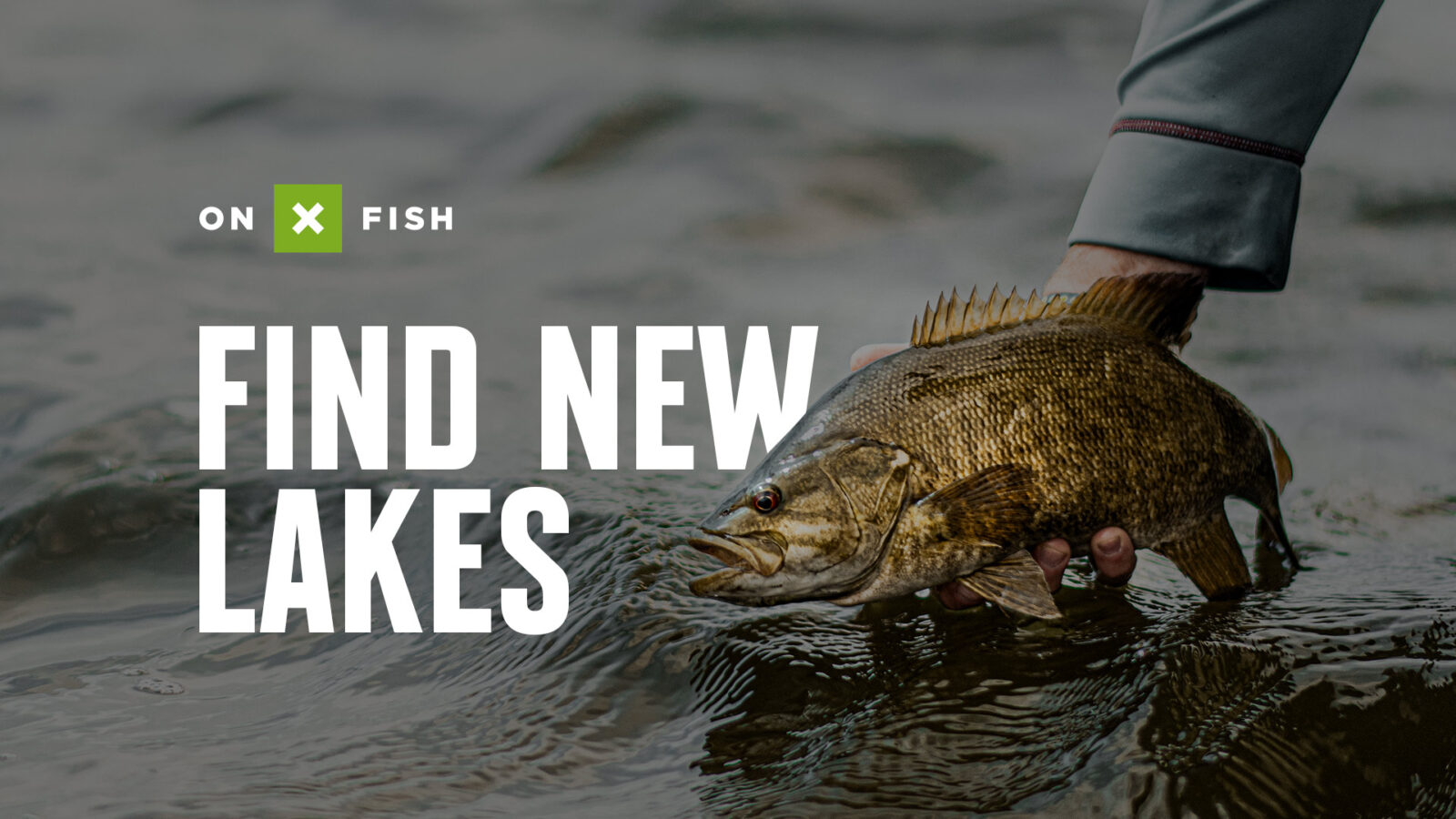
FIND NEW LAKES